Showing 10 of 63 records (filtered)
Applied filters: Keywords: for × Clear all filters
« first previous Page 3 of 6. next last »
Preview
Title
Abstract
Country
INSPIRE Theme
Publication Date
Responsible Party
Topic Categories
Keywords
Access Constraints
Actions
Graphic overview for Land Classification in the Republic of North Macedonia (TK 200-2004)
Land Classification in the Republic of North Macedonia (TK 200-2004) The land classification package shows the use of the land surface as: arable land, vineyards, orchards, rice fields, meadows, forests, … North Macedonia Not specified July 1, 2018 Agency for Real Estate Cadastre otherRestrictions
Graphic overview for Land Classification in the Republic of North Macedonia (TK 200-2004), metadata of the dataset – INSPIRE
Land Classification in the Republic of North Macedonia (TK 200-2004), metadata of the dataset – INSPIRE The land classification package shows the use of the land surface as: arable land, vineyards, orchards, rice fields, meadows, forests, … North Macedonia Not specified March 13, 2024 Agency for Real Estate Cadastre otherRestrictions
Graphic overview for Land Classification in the Republic of North Macedonia TC 200-2017, metadata for the dataset
Land Classification in the Republic of North Macedonia TC 200-2017, metadata for the dataset The content of the dataset for "Land Classification of the Republic of North Macedonia TC 200-2017" has been updated from … North Macedonia Not specified Dec. 31, 2024 Agency for Real Estate Cadastre otherRestrictions
Graphic overview for Land Classification in the Republic of North Macedonia TK25-2017, metadata of the review service - WMS
Land Classification in the Republic of North Macedonia TK25-2017, metadata of the review service - WMS The metadata of the land classification review service. The updated data for the land classification collection of the Republic of … North Macedonia Not specified March 19, 2024 Agency for Real Estate Cadastre Not specified otherRestrictions
Graphic overview for Land Classification in the Republic of North Macedonia, metadata of the dataset - INSPIRE
Land Classification in the Republic of North Macedonia, metadata of the dataset - INSPIRE The land classification dataset of the Republic of North Macedonia covers land cover such as arable land, vineyards, forests, pastures, … North Macedonia Not specified Nov. 27, 2019 Agency for Real Estate Cadastre otherRestrictions
Graphic overview for Land Classification in the Republic of North Macedonia, metadata of the review service, WMS
Land Classification in the Republic of North Macedonia, metadata of the review service, WMS Service for viewing the land classification data collection - WMS of the Republic of North Macedonia from the TK 25 … North Macedonia Not specified Nov. 27, 2019 Agency for Real Estate Cadastre Not specified otherRestrictions
Graphic overview for Map of mineral resources of the Republic of Macedonia, ores and ore-bearing formations at a scale of 1:200,000
Map of mineral resources of the Republic of Macedonia, ores and ore-bearing formations at a scale of 1:200,000 geological - metallogenetic formations, Old Alpine formations, genetic types of deposits and occurrences and LIST OF DEPOSITS AND OCCURRENCES North Macedonia Jan. 1, 1977 Geological Survey of the Republic of North Macedonia otherRestrictions
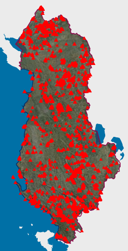
Graphic overview for Natural Monuments
Natural Monuments In accordance with LAW No. 81/2017 "On Protected Areas" The totality of environmental protected areas constitutes the national system of … Albania Not specified March 7, 2023 National Agency for Protected Areas (NAPA) Not specified copyright
Graphic overview for Nomenclature of sheets in the cartographic database for TK25,TK50,TK100 and TK200
Nomenclature of sheets in the cartographic database for TK25,TK50,TK100 and TK200 Nomenclature of map sheets is the division of the earth's surface into sheets according to certain rules and their numbering … North Macedonia April 1, 2004 Agency for Real Estate Cadastre otherRestrictions
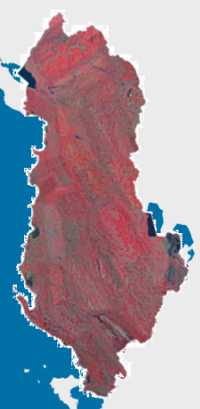
Graphic overview for Orthophoto CIR 2015 (20 cm)
Orthophoto CIR 2015 (20 cm) Orthophoto CIR period 2015-2017 with a resolution of 20 cm per pixel which covers the territory of the Republic of … Albania Jan. 1, 2017 State Authority for Geospatial Information (ASIG) copyright
Showing 10 of 63 records (filtered)
« first previous Page 3 of 6. next last »