Showing 10 of 37 records (filtered)
Applied filters: Keywords: forest × Clear all filters
Page 1 of 4. next last »
Preview
Title
Abstract
Country
INSPIRE Theme
Publication Date
Responsible Party
Topic Categories
Keywords
Access Constraints
Actions
🖼️
ALFIS, Forest Economy Frontier The “Forest Economy Boundary” is the basic unit of organization of the area of the national forest fund for forest … Albania Not specified May 14, 2026 National Forestry Agency (NFA) Not specified copyright
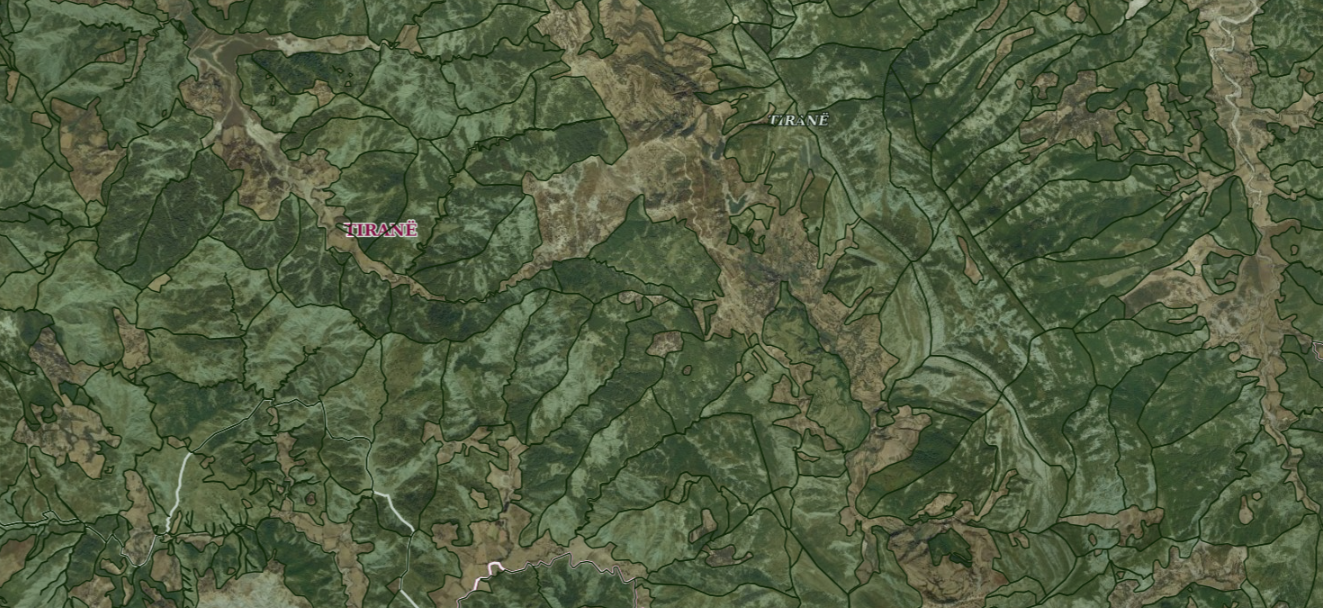
Graphic overview for ALFIS, Forest plot
ALFIS, Forest plot Forest parcel or “Plot” is the name of the forest area, with clear natural boundaries, which is created by dividing … Albania May 14, 2026 National Forestry Agency (NFA) copyright
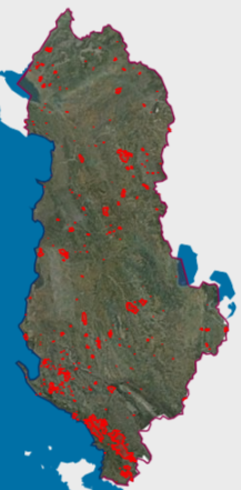
Graphic overview for Areas with natural hazards, Fires 2025
Areas with natural hazards, Fires 2025 Forest fires that have crossed the territory of the Republic of Albania during the period January-December 2025. The data are … Albania Not specified Feb. 2, 2026 National Civil Protection Agency (AKMC) Not specified copyright
Graphic overview for Fire index map, dataset metadata
Fire index map, dataset metadata The data was created by the Crisis Management Center based on meteorological data and forest inventory data from the PE … North Macedonia Jan. 1, 2012 Crisis Management Center otherRestrictions
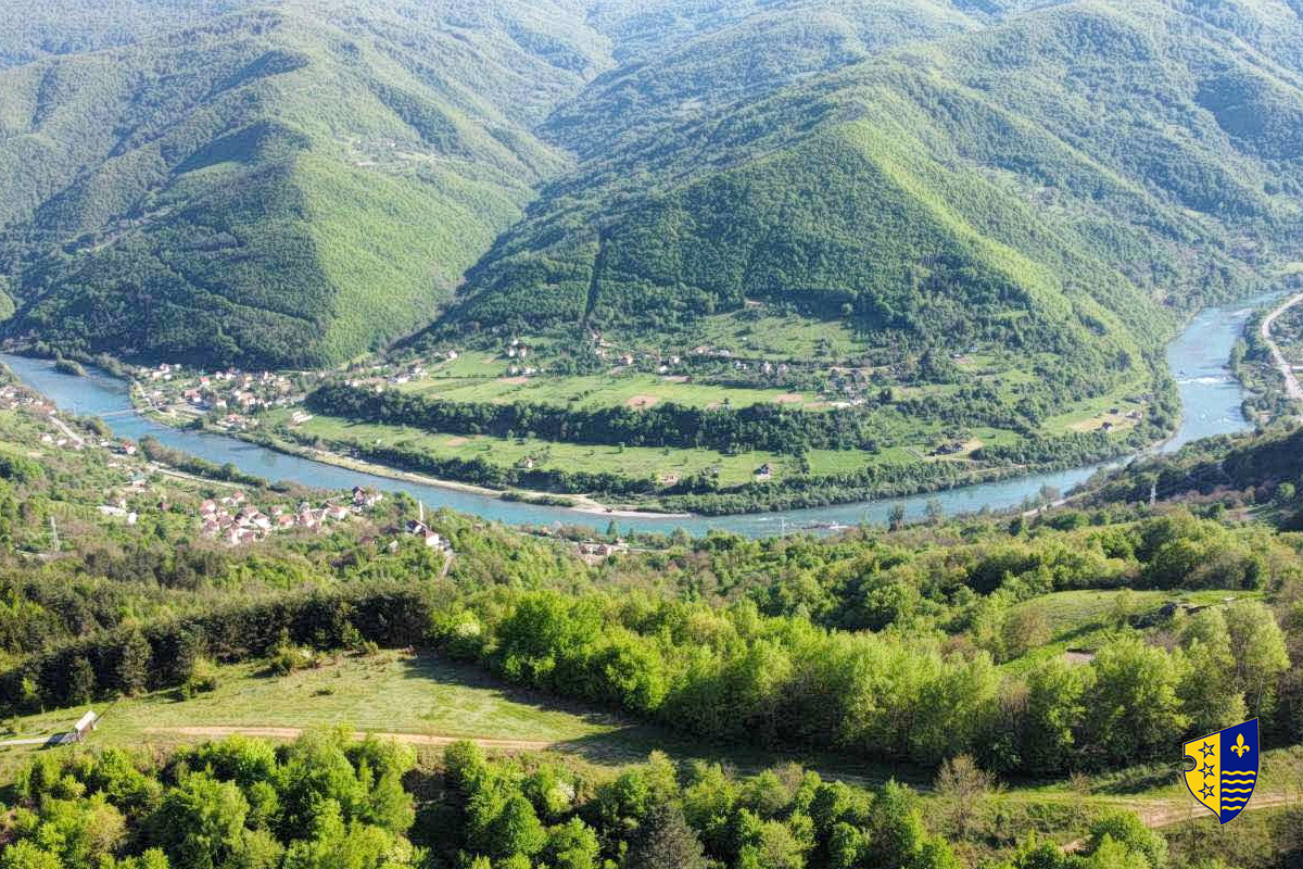
Graphic overview for Forest management basis for private forests of the Bosnian-Podrinje Canton Goražde
Forest management basis for private forests of the Bosnian-Podrinje Canton Goražde Data on private forests and forest land in the area of the Bosnian Podrinje Canton Goražde. Bosnia and Herzegovina None Cantonal Forestry Administration of the Bosnian-Podrinje Canton Goražde otherRestrictions
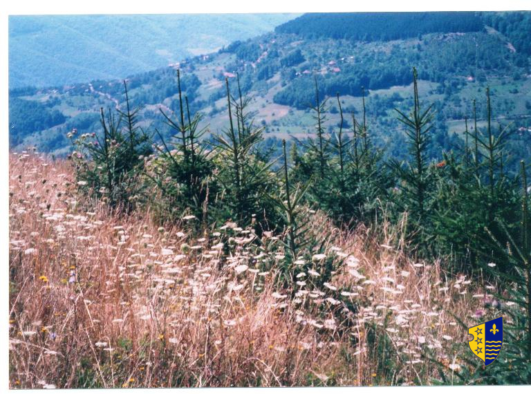
Graphic overview for Forestry basis for state forests of the Bosnian-Podrinje Canton Goražde
Forestry basis for state forests of the Bosnian-Podrinje Canton Goražde Data on state-owned forests and forest land in the territory of the Bosnian-Podrinje Canton Goražde. The validity date of the … Bosnia and Herzegovina None Cantonal Forestry Administration of the Bosnian-Podrinje Canton Goražde otherRestrictions
Graphic overview for Hotspots, dataset metadata
Hotspots, dataset metadata The hotspot dataset is obtained from two satellites: (MODIS and VIRS). The hotspot data is obtained at a time interval … North Macedonia Not specified Jan. 1, 2012 Crisis Management Center otherRestrictions
Graphic overview for Land Classification in the Republic of Macedonia TK25, dataset metadata
Land Classification in the Republic of Macedonia TK25, dataset metadata The Land Classification Dataset of the Republic of North Macedonia from the TK 25 database covers land use as arable … North Macedonia Not specified Jan. 1, 2006 Agency for Real Estate Cadastre otherRestrictions
Graphic overview for Land Classification in the Republic of North Macedonia (TK 200-2004)
Land Classification in the Republic of North Macedonia (TK 200-2004) The land classification package shows the use of the land surface as: arable land, vineyards, orchards, rice fields, meadows, forests, … North Macedonia Not specified July 1, 2018 Agency for Real Estate Cadastre otherRestrictions
Graphic overview for Land Classification in the Republic of North Macedonia (TK 200-2004), metadata of the dataset – INSPIRE
Land Classification in the Republic of North Macedonia (TK 200-2004), metadata of the dataset – INSPIRE The land classification package shows the use of the land surface as: arable land, vineyards, orchards, rice fields, meadows, forests, … North Macedonia Not specified March 13, 2024 Agency for Real Estate Cadastre otherRestrictions
Showing 10 of 37 records (filtered)
Page 1 of 4. next last »