Showing 10 of 31 records (filtered)
Applied filters: Keywords: geographical × Clear all filters
Page 1 of 3. next last »
Preview
Title
Abstract
Country
INSPIRE Theme
Publication Date
Responsible Party
Topic Categories
Keywords
Access Constraints
Actions
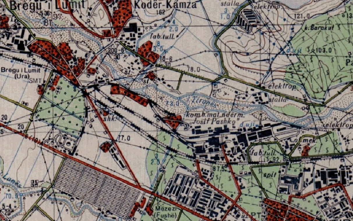
Graphic overview for Base Map, Topographic Map 1:10 000
Base Map, Topographic Map 1:10 000 Topographic map of scale 1:10000 in Image (raster) format created by the Institute of Geography and Military Infrastructure (former ITU). … Albania Jan. 1, 2015 Institute of Geography and Military Infrastructure (formerly ITU) otherRestrictions
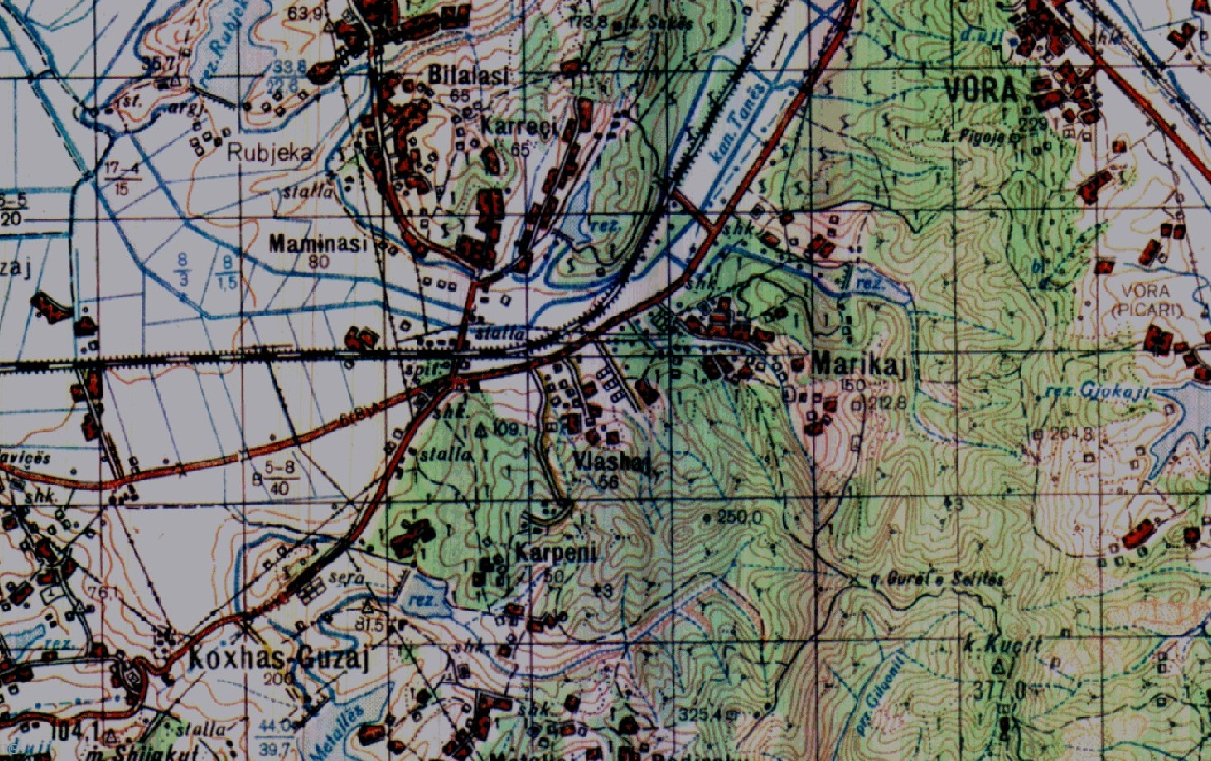
Graphic overview for Base Map, Topographic Map 1:25 000
Base Map, Topographic Map 1:25 000 Topographic maps of scale 1:25 000 were published by the Geographical Institute and Military Infrastructure (former ITU), in the years … Albania Jan. 1, 2015 Institute of Geography and Military Infrastructure (formerly ITU) otherRestrictions
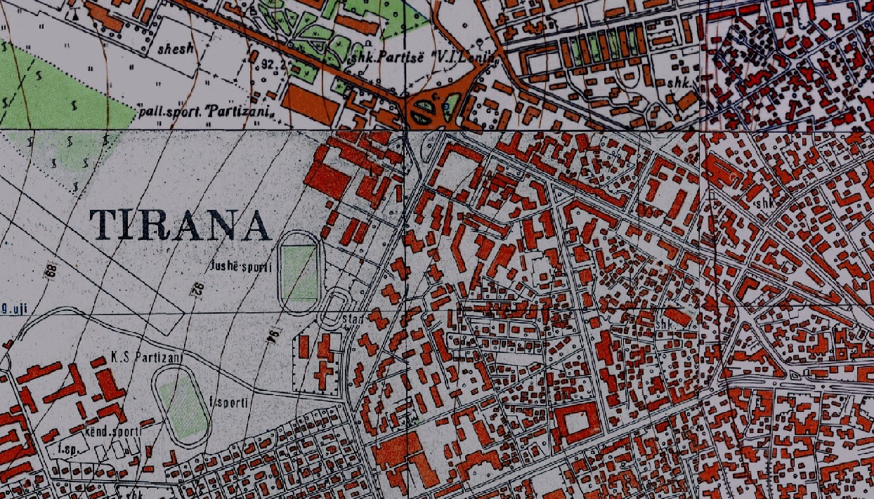
Graphic overview for Base Map, Topographic Map 1:50 000
Base Map, Topographic Map 1:50 000 Topographic maps of scale 1:50000 were published by the Institute of Geography and Military Infrastructure (formerly ITU), in the period … Albania Jan. 1, 2015 Institute of Geography and Military Infrastructure (formerly ITU) otherRestrictions
Graphic overview for Cadastral plans of the Republic of North Macedonia - archival originals at a scale of 1:1000 - raster, metadata for the dataset
Cadastral plans of the Republic of North Macedonia - archival originals at a scale of 1:1000 - raster, metadata for the dataset The archival originals of the cadastral plans at a scale of 1:1000 were prepared for cadastral municipalities under the jurisdiction … North Macedonia Not specified Jan. 1, 2000 Agency for Real Estate Cadastre otherRestrictions
Graphic overview for Cadastral plans of the Republic of North Macedonia - archival originals at a scale of 1:10000 - raster, metadata for the dataset
Cadastral plans of the Republic of North Macedonia - archival originals at a scale of 1:10000 - raster, metadata for the dataset The archival originals of the cadastral plans at a scale of 1:10000 were prepared for some of the cadastral municipalities … North Macedonia Not specified Jan. 1, 2000 Agency for Real Estate Cadastre otherRestrictions
Graphic overview for Cadastral plans of the Republic of North Macedonia - archival originals at a scale of 1:500 - raster, metadata for the dataset
Cadastral plans of the Republic of North Macedonia - archival originals at a scale of 1:500 - raster, metadata for the dataset The archival originals of the cadastral plans in scale 1:500 were prepared for urban areas. They were prepared for some … North Macedonia Not specified Jan. 1, 2000 Agency for Real Estate Cadastre otherRestrictions
Graphic overview for European Terrestrial Reference System ETRS 89
European Terrestrial Reference System ETRS 89 The adopted reference system for Europe is known as the European Terrestrial Reference System, 1989 (ETRS89). Coordinates in ETRS89 are … North Macedonia Not specified March 1, 2010 Agency for Real Estate Cadastre otherRestrictions
Graphic overview for General geographic map from the Military Geographical Institute Belgrade (VGI) at a scale of 1:1000000- Skopje K34, metadata for the dataset
General geographic map from the Military Geographical Institute Belgrade (VGI) at a scale of 1:1000000- Skopje K34, metadata for the dataset The general geographic map at a scale of 1:1000000 was produced by the VGI Belgrade and supplemented in 1972. The … North Macedonia Not specified None Agency for Real Estate Cadastre otherRestrictions
Graphic overview for Geographical Names of the Republic of North Macedonia TC (200-2004) - INSPIRE, dataset metadata
Geographical Names of the Republic of North Macedonia TC (200-2004) - INSPIRE, dataset metadata Geographical names from the topographic database TK 200 for the entire territory of the Republic of North Macedonia according to … North Macedonia March 12, 2024 Agency for Real Estate Cadastre otherRestrictions
Graphic overview for High-precision leveling network in the Republic of North Macedonia, dataset metadata
High-precision leveling network in the Republic of North Macedonia, dataset metadata The high-precision leveling network is a unique network that covers the entire territory of the Republic of North Macedonia and … North Macedonia Not specified Jan. 1, 1957 Agency for Real Estate Cadastre otherRestrictions
Showing 10 of 31 records (filtered)
Page 1 of 3. next last »