Showing 4 of 4 records (filtered)
Applied filters: Keywords: global × Clear all filters
Preview
Title
Abstract
Country
INSPIRE Theme
Publication Date
Responsible Party
Topic Categories
Keywords
Access Constraints
Actions
Graphic overview for Global map of the Republic of Macedonia at a scale of 1:1000000 raster (Land Use), metadata for the dataset
Global map of the Republic of Macedonia at a scale of 1:1000000 raster (Land Use), metadata for the dataset The land use data includes 9 categories of land use in the Republic of North Macedonia. North Macedonia Not specified March 8, 2006 Agency for Real Estate Cadastre otherRestrictions
Graphic overview for Global map of the Republic of Macedonia at a scale of 1:1000000 raster (Relief), dataset metadata
Global map of the Republic of Macedonia at a scale of 1:1000000 raster (Relief), dataset metadata Raster relief data is organized into accessible rows and columns with pixel dimensions of 30” by 30”. This type of … North Macedonia March 8, 2006 Agency for Real Estate Cadastre otherRestrictions
Graphic overview for Global map of the Republic of Macedonia in scale 1:1000000 raster (Land cover), metadata of download service, WCS
Global map of the Republic of Macedonia in scale 1:1000000 raster (Land cover), metadata of download service, WCS Dataset discovery service - Global map of the Republic of Macedonia at a scale of 1:1000000 raster (Land cover). The … North Macedonia Not specified Jan. 1, 2015 Agency for Real Estate Cadastre Not specified otherRestrictions
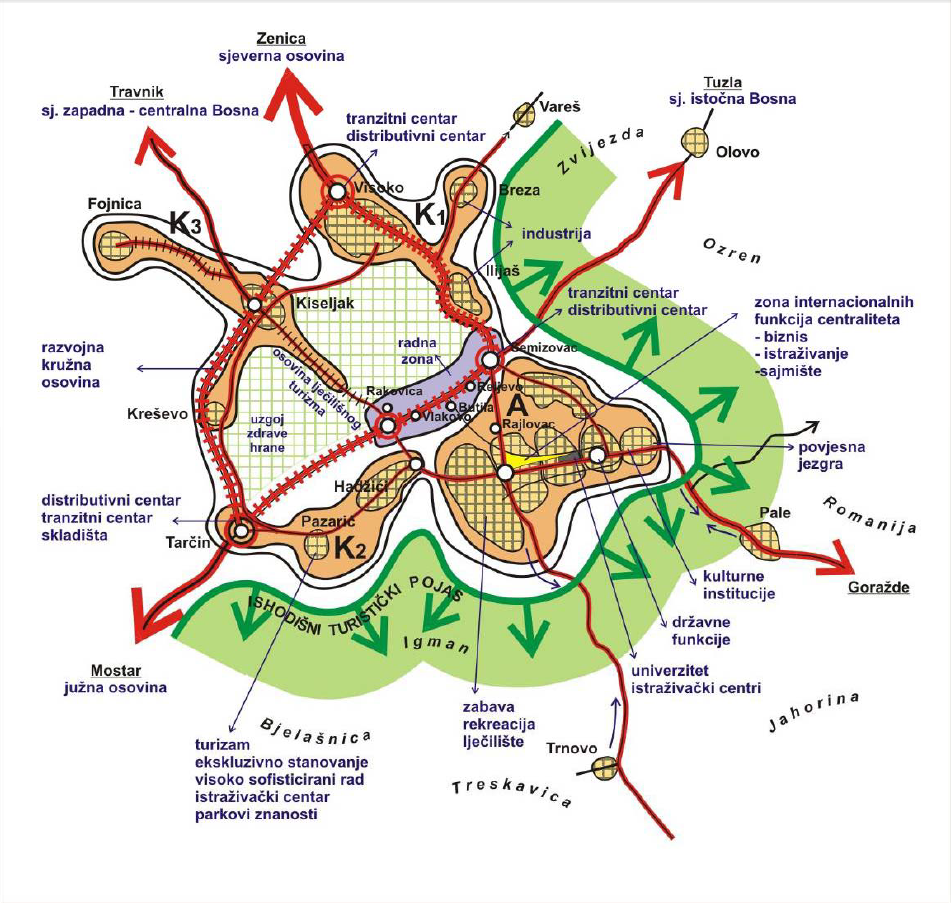
Graphic overview for Study of the centrality function of the state capital - Sarajevo
Study of the centrality function of the state capital - Sarajevo The main task of the Study on the Function of Centrality of the Capital City was to investigate the urban … Bosnia and Herzegovina Oct. 1, 2005 Ministry of Physical Planning and Environmental Protection of Sarajevo Canton other Restrictions
Showing 4 of 4 records (filtered)