Showing 13 of 43 records (filtered)
Applied filters: Keywords: hydrography × Clear all filters
« first previous Page 4 of 4.
Preview
Title
Abstract
Country
INSPIRE Theme
Publication Date
Responsible Party
Topic Categories
Keywords
Access Constraints
Actions
Graphic overview for Topographic map from the Military Geographical Institute Belgrade (VGI) at a scale of 1:50000 (TK50), metadata for the dataset
Topographic map from the Military Geographical Institute Belgrade (VGI) at a scale of 1:50000 (TK50), metadata for the dataset The topographic map at a scale of 1:50000 was produced by the VGI Belgrade in 1966. The territory of the … North Macedonia Not specified Jan. 1, 1966 Agency for Real Estate Cadastre otherRestrictions
Graphic overview for Topographic map of the Republic of Macedonia at a scale of 1:100000, metadata for the dataset
Topographic map of the Republic of Macedonia at a scale of 1:100000, metadata for the dataset The topographic map at a scale of 1:100,000 in raster format was produced in the period from July 2015 to … North Macedonia Not specified Jan. 1, 2018 Agency for Real Estate Cadastre otherRestrictions
Graphic overview for Topographic map of the Republic of North Macedonia (TK 200-2004) - raster, dataset metadata
Topographic map of the Republic of North Macedonia (TK 200-2004) - raster, dataset metadata The topographic maps at a scale of 1:200000 (TK 200-2004) were produced in the period from January 2017 to June … North Macedonia Not specified Jan. 1, 2018 Agency for Real Estate Cadastre otherRestrictions
Graphic overview for Topographic map of the Republic of North Macedonia at a scale of 1:25000-raster, metadata for the dataset
Topographic map of the Republic of North Macedonia at a scale of 1:25000-raster, metadata for the dataset The topographic map at a scale of 1:25000 was produced in the period from 2004 to 2011 and is in … North Macedonia Not specified Jan. 1, 2012 Agency for Real Estate Cadastre otherRestrictions
Graphic overview for Topographic map of the Republic of North Macedonia at a scale of 1:50000 (TK 50 - 2004) - raster, metadata for the dataset
Topographic map of the Republic of North Macedonia at a scale of 1:50000 (TK 50 - 2004) - raster, metadata for the dataset The topographic maps at a scale of 1:50,000 were produced in the period 2012 - 2015 and are in raster … North Macedonia Not specified Jan. 1, 2015 Agency for Real Estate Cadastre otherRestrictions
Graphic overview for Topographic map of the Republic of North Macedonia at a scale of 1:50000 (TK 50 - 2017) - raster, metadata for the dataset
Topographic map of the Republic of North Macedonia at a scale of 1:50000 (TK 50 - 2017) - raster, metadata for the dataset The contents of the "Topographic Map of the Republic of North Macedonia" at a scale of 1: 50000 (TK 50 … North Macedonia Not specified Aug. 1, 2024 Agency for Real Estate Cadastre otherRestrictions
Graphic overview for Topographic map of the Republic of North Macedonia TC 200 - 2017 - raster, dataset metadata
Topographic map of the Republic of North Macedonia TC 200 - 2017 - raster, dataset metadata The content of the "Topographic Map in Scale TC 200 - 2017" has been updated from the vector data of … North Macedonia Not specified Dec. 31, 2024 Agency for Real Estate Cadastre otherRestrictions
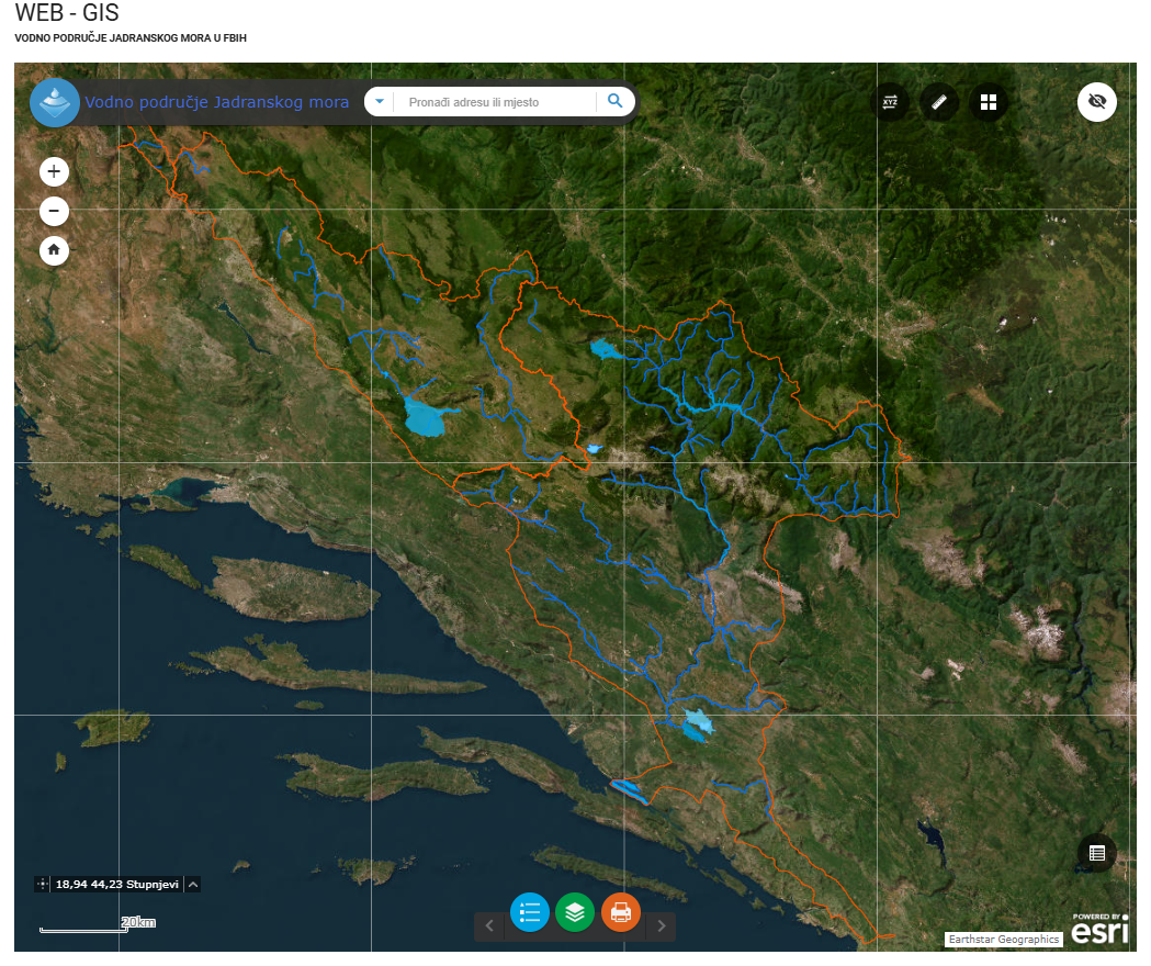
Graphic overview for Water area of the Adriatic Sea
Water area of the Adriatic Sea This dataset represents the Adriatic Sea water area in the Federation of Bosnia and Herzegovina. Bosnia and Herzegovina Jan. 1, 2008 Agency for the Adriatic Sea Water Area otherRestrictions
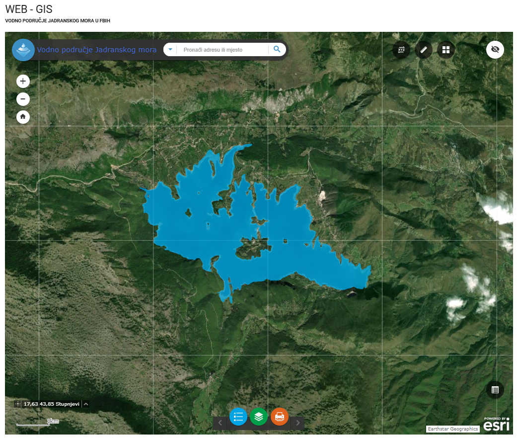
Graphic overview for Water stills AVP Adriatic Sea
Water stills AVP Adriatic Sea This data set contains all standing water (lakes, ponds, wetlands and reservoirs) in the Adriatic Sea catchment area managed by … Bosnia and Herzegovina Jan. 1, 2008 Agency for the Adriatic Sea Water Area otherRestrictions
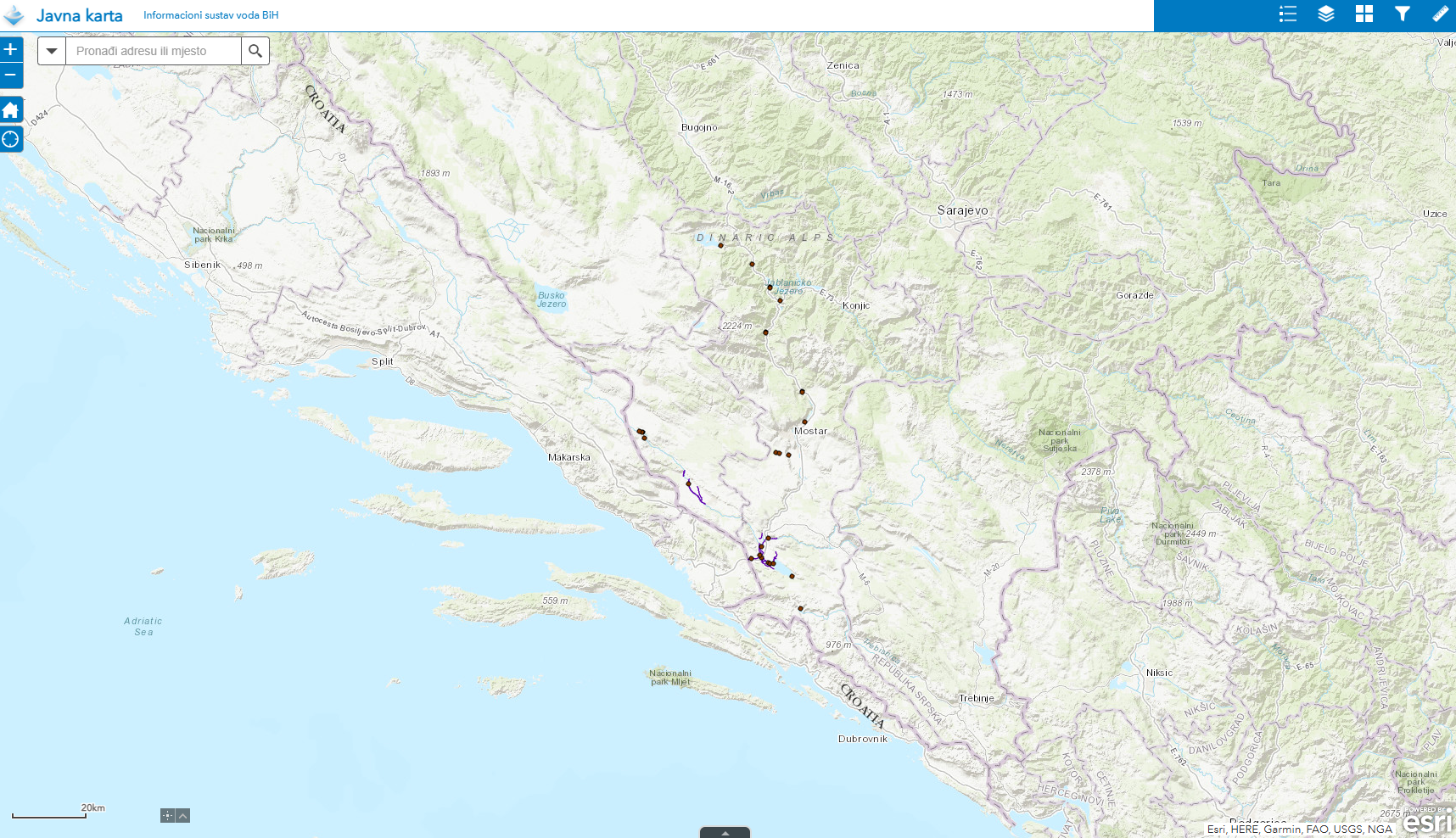
Graphic overview for Water structures AVP Adriatic Sea
Water structures AVP Adriatic Sea Water structures represent longitudinal water structures: embankments, and transverse water structures: dams, dams, pumping stations, flood defense centers in the … Bosnia and Herzegovina Jan. 1, 2008 Agency for the Adriatic Sea Water Area otherRestrictions
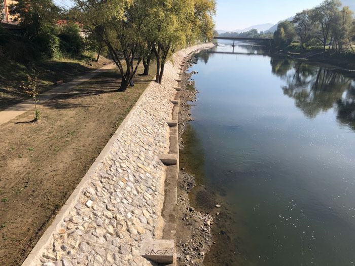
Graphic overview for Water structures of the Sava River
Water structures of the Sava River Water structures are longitudinal water structures: embankments, and transverse water structures: dams, weirs, pumping stations, flood protection centers in the … Bosnia and Herzegovina None Sava River Basin Agency otherRestrictions
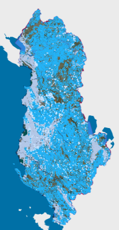
Graphic overview for Hydrographic Network
Hydrographic Network Rivers, lakes and water bodies of Albania Albania April 15, 2023 ASIG none
🖼️
Hydrography Bosnia Herzegovina River network and water bodies Bosnia and Herzegovina Sept. 2, 2025 Federal Administration for Geodetic Affairs none
Showing 13 of 43 records (filtered)
« first previous Page 4 of 4.