Showing 10 of 151 records (filtered)
Applied filters: Keywords: land × Clear all filters
« first previous Page 6 of 15. next last »
Preview
Title
Abstract
Country
INSPIRE Theme
Publication Date
Responsible Party
Topic Categories
Keywords
Access Constraints
Actions
Graphic overview for Nomenclature of cadastral plan sheets, metadata for dataset
Nomenclature of cadastral plan sheets, metadata for dataset Nomenclature of sheets of cadastral plans for scales 1:500, 1:1000, 1:2500, 1:5000, 1:10000. Nomenclature of sheets of cadastral plans is … North Macedonia Dec. 22, 2018 Agency for Real Estate Cadastre otherRestrictions
Graphic overview for Overview topographic map from the Military Geographical Institute Belgrade (VGI) at a scale of 1:500000 (PTK 500) - Skopje 56, metadata for the dataset
Overview topographic map from the Military Geographical Institute Belgrade (VGI) at a scale of 1:500000 (PTK 500) - Skopje 56, metadata for the dataset The overview topographic map at a scale of 1:500,000 was produced by the VGI Belgrade in 1982. The map is … North Macedonia Not specified Jan. 1, 1982 Agency for Real Estate Cadastre otherRestrictions
Graphic overview for Pasture cadastre
Pasture cadastre The management of state pastures in the Federation is entrusted to the cantons. The canton on whose territory the pastures … Bosnia and Herzegovina None Ministry of Agriculture, Forestry and Water Management of Zenica-Doboj Canton otherRestrictions
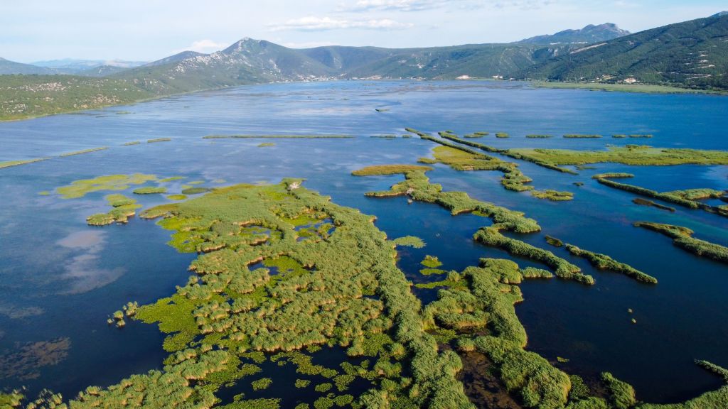
Graphic overview for PPPPO Nature Park Hutovo Blato
PPPPO Nature Park Hutovo Blato The area of the Hutovo Blato Nature Park is a protected area, in 1995 Hutovo Blato was declared a Nature … Bosnia and Herzegovina Oct. 7, 2016 Ministry of Construction and Spatial Planning CNK otherRestrictions
Graphic overview for Protected areas, dataset metadata
Protected areas, dataset metadata Protected areas include national parks, strict nature reserves, natural monuments, nature parks, protected landscapes and multipurpose areas. North Macedonia Jan. 11, 2010 Ministry of Environment and Physical Planning otherRestrictions
Graphic overview for Protected Landscape - Osogovo Mountains, metadata for dataset
Protected Landscape - Osogovo Mountains, metadata for dataset Part of the Osogovo Mountains has been declared a protected area, category V - protected landscape, due to the diversity … North Macedonia Nov. 20, 2020 Ministry of Environment and Physical Planning otherRestrictions
Graphic overview for Protected natural areas of Sarajevo Canton
Protected natural areas of Sarajevo Canton In the Cantonal Public Institution for Protected Natural Areas, the implementation of GIS software began in 2020 when the Gauss … Bosnia and Herzegovina Jan. 1, 2020 Cantonal Public Institution for Protected Natural Areas Sarajevo otherRestrictions
🖼️
QTTB, Land use This information was obtained from the Agricultural Technology Transfer Center (ATTC). The data does not conform to the State Standard … Albania Not specified April 27, 2020 Agricultural Technology Transfer Center (ATTC) Not specified copyright
Graphic overview for Records on agricultural land that has changed its use
Records on agricultural land that has changed its use The change of use of agricultural land for non-agricultural purposes is carried out in accordance with spatial planning plans and … Bosnia and Herzegovina None Ministry of Agriculture, Forestry and Water Management of Zenica-Doboj Canton otherRestrictions
Graphic overview for Regional Departments of the Ministry of Defense, metadata for the dataset
Regional Departments of the Ministry of Defense, metadata for the dataset Regional departments of the Ministry of Defense in the cities: Berovo, Bitola, Valandovo, Veles, Vinica, Gevgelija, Gostivar, Debar, Delchevo, Demir … North Macedonia April 22, 2024 Ministry of Defense otherRestrictions
Showing 10 of 151 records (filtered)
« first previous Page 6 of 15. next last »