Showing 10 of 37 records (filtered)
Applied filters: Keywords: land cover × Clear all filters
Page 1 of 4. next last »
Preview
Title
Abstract
Country
INSPIRE Theme
Publication Date
Responsible Party
Topic Categories
Keywords
Access Constraints
Actions
Graphic overview for Agriculture and land use, view service metadata, WMS
Agriculture and land use, view service metadata, WMS Agriculture and Land Cover Survey Service North Macedonia Not specified Dec. 21, 2023 Ministry of Agriculture, Forestry and Water Management Not specified otherRestrictions
🖼️
ALFIS, Forest Economy Frontier The “Forest Economy Boundary” is the basic unit of organization of the area of the national forest fund for forest … Albania Not specified May 14, 2026 National Forestry Agency (NFA) Not specified copyright
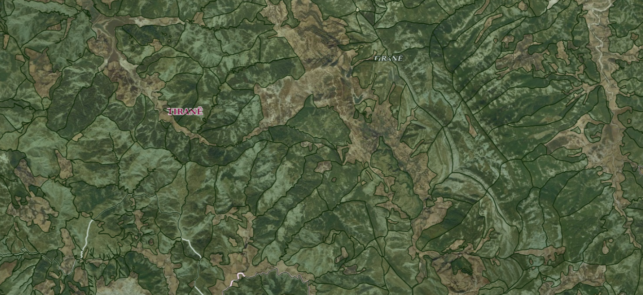
Graphic overview for ALFIS, Forest plot
ALFIS, Forest plot Forest parcel or “Plot” is the name of the forest area, with clear natural boundaries, which is created by dividing … Albania May 14, 2026 National Forestry Agency (NFA) copyright
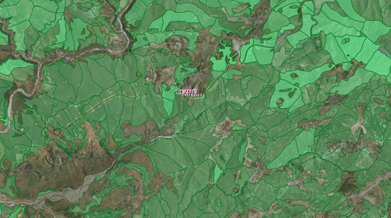
Graphic overview for ALFIS, Forest sub-plot
ALFIS, Forest sub-plot Sub-plot or “Sub-plot” is a surface unit with a minimum size of 0.5 ha, which serves for the assessment of … Albania May 14, 2026 National Forestry Agency (NFA) copyright
Graphic overview for Basic geological map of the Republic of North Macedonia at a scale of 1:500,000
Basic geological map of the Republic of North Macedonia at a scale of 1:500,000 Basic geological map of the Republic of North Macedonia at a scale of 1:500,000 North Macedonia Not specified Jan. 1, 1966 Geological Survey of the Republic of North Macedonia otherRestrictions
🖼️
Corine Land Cover Corine 2018 data are in accordance with the State Standard for Technical Specifications of Geospatial Information in Albania. Topic: Land … Albania Not specified May 14, 2019 National Environmental Agency (NEA) Not specified copyright
Graphic overview for General geographic map from the Military Geographical Institute Belgrade (VGI) at a scale of 1:1000000- Skopje K34, metadata for the dataset
General geographic map from the Military Geographical Institute Belgrade (VGI) at a scale of 1:1000000- Skopje K34, metadata for the dataset The general geographic map at a scale of 1:1000000 was produced by the VGI Belgrade and supplemented in 1972. The … North Macedonia Not specified None Agency for Real Estate Cadastre otherRestrictions
Graphic overview for Global map of the Republic of Macedonia in scale 1:1000000 raster (Land cover), metadata of download service, WCS
Global map of the Republic of Macedonia in scale 1:1000000 raster (Land cover), metadata of download service, WCS Dataset discovery service - Global map of the Republic of Macedonia at a scale of 1:1000000 raster (Land cover). The … North Macedonia Not specified Jan. 1, 2015 Agency for Real Estate Cadastre Not specified otherRestrictions
Graphic overview for Gravimetric map of the Republic of North Macedonia (Bougeot anomalies) 1:500,000
Gravimetric map of the Republic of North Macedonia (Bougeot anomalies) 1:500,000 Gravimetric map of the Republic of North Macedonia (Bougeot anomalies) 1:500,000 North Macedonia Not specified Jan. 1, 1966 Geological Survey of the Republic of North Macedonia otherRestrictions
Graphic overview for Green Cadastre of the City of Skopje, metadata for the dataset
Green Cadastre of the City of Skopje, metadata for the dataset The green cadastre contains an inventory of trees and shrubs located in public areas such as boulevard and block greenery … North Macedonia Not specified None City of Skopje otherRestrictions
Showing 10 of 37 records (filtered)
Page 1 of 4. next last »