Showing 10 of 74 records (filtered)
Applied filters: Keywords: land use × Clear all filters
« first previous Page 2 of 7. next last »
Preview
Title
Abstract
Country
INSPIRE Theme
Publication Date
Responsible Party
Topic Categories
Keywords
Access Constraints
Actions
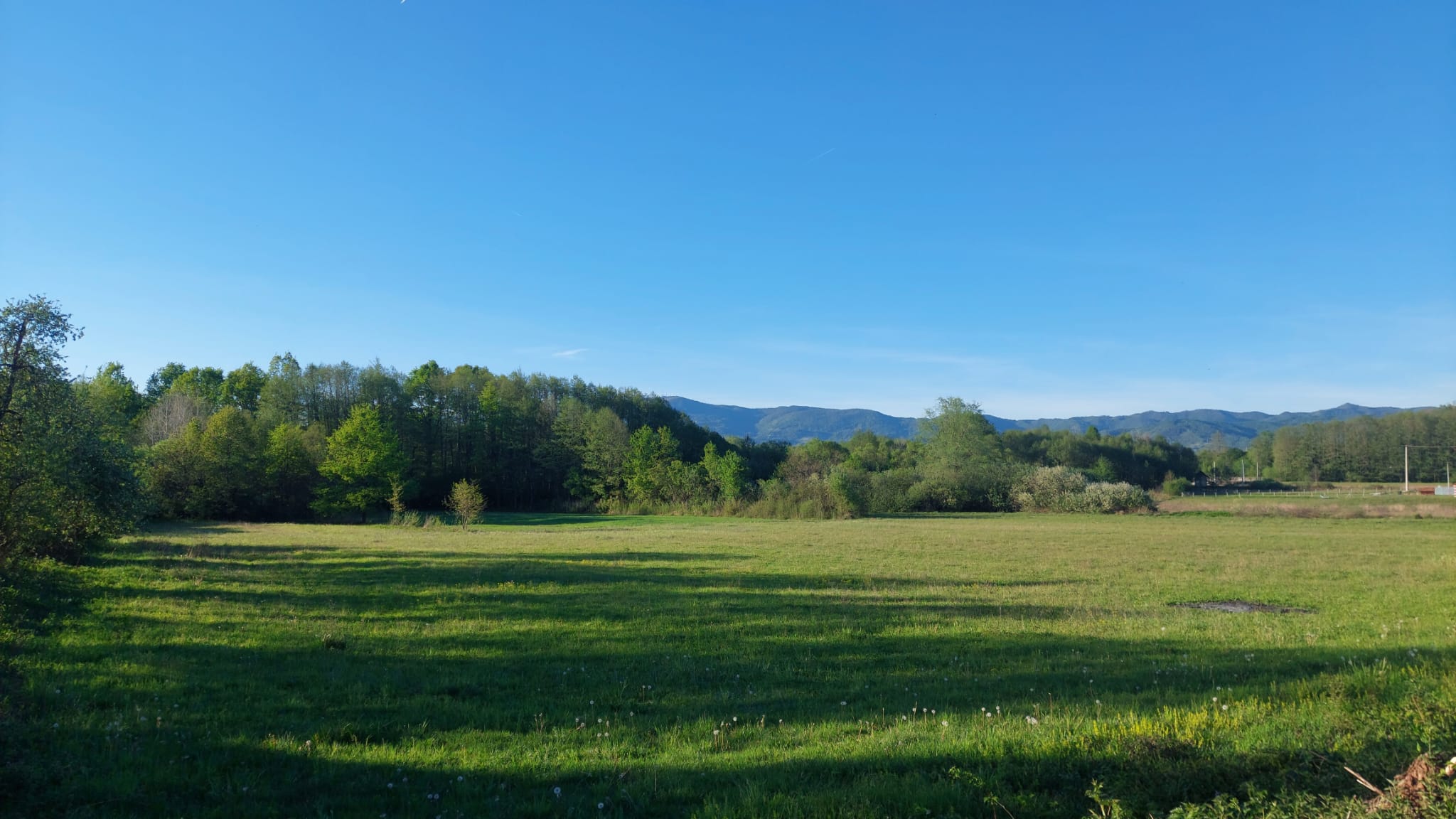
Graphic overview for Forestry basis for state forests of the Bosnian-Podrinje Canton Goražde
Forestry basis for state forests of the Bosnian-Podrinje Canton Goražde Data on state-owned forests and forest land in the territory of the Bosnian-Podrinje Canton Goražde. The validity date of the … Bosnia and Herzegovina None Cantonal Forestry Administration of the Bosnian-Podrinje Canton Goražde otherRestrictions
Graphic overview for Global map of the Republic of Macedonia at a scale of 1:1000000 raster (Land Use), metadata for the dataset
Global map of the Republic of Macedonia at a scale of 1:1000000 raster (Land Use), metadata for the dataset The land use data includes 9 categories of land use in the Republic of North Macedonia. North Macedonia Not specified March 8, 2006 Agency for Real Estate Cadastre otherRestrictions
Graphic overview for Graphical register of construction land of the Republic of North Macedonia, metadata of the dataset
Graphical register of construction land of the Republic of North Macedonia, metadata of the dataset The Graphical Register of Construction Land is a single register containing spatial and descriptive data on construction land in the … North Macedonia Not specified Dec. 29, 2015 Agency for Real Estate Cadastre otherRestrictions
Graphic overview for Land cover according to the criteria of the 2009 LDS
Land cover according to the criteria of the 2009 LDS The land use data is based on orthophoto maps from 2009. The land use data is created exclusively for agricultural … North Macedonia Jan. 1, 2009 Ministry of Agriculture, Forestry and Water Management otherRestrictions
Graphic overview for Land use in accordance with the criteria for the 2017 LLP
Land use in accordance with the criteria for the 2017 LLP The land use data is based on orthophoto maps from 2017. The land use data is created exclusively for agricultural … North Macedonia Aug. 15, 2017 Ministry of Agriculture, Forestry and Water Management otherRestrictions
Graphic overview for Pasture cadastre
Pasture cadastre The management of state pastures in the Federation is entrusted to the cantons. The canton on whose territory the pastures … Bosnia and Herzegovina None Ministry of Agriculture, Forestry and Water Management of Zenica-Doboj Canton otherRestrictions
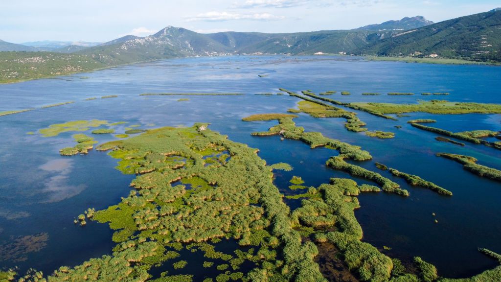
Graphic overview for PPPPO Nature Park Hutovo Blato
PPPPO Nature Park Hutovo Blato The area of the Hutovo Blato Nature Park is a protected area, in 1995 Hutovo Blato was declared a Nature … Bosnia and Herzegovina Oct. 7, 2016 Ministry of Construction and Spatial Planning CNK otherRestrictions
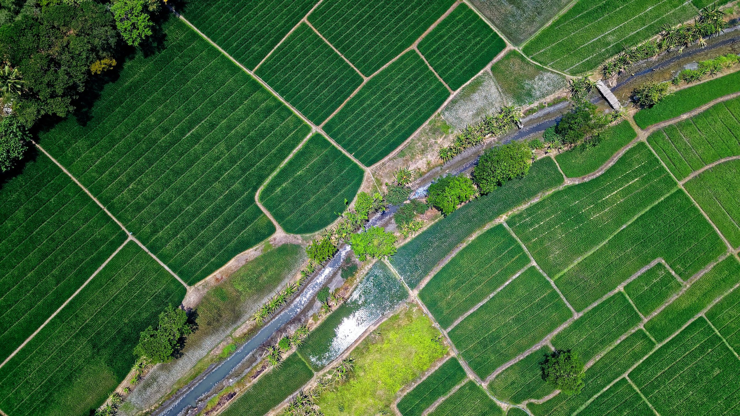
🖼️
QTTB, Land use This information was obtained from the Agricultural Technology Transfer Center (ATTC). The data does not conform to the State Standard … Albania Not specified April 27, 2020 Agricultural Technology Transfer Center (ATTC) Not specified copyright
Graphic overview for Records on agricultural land that has changed its use
Records on agricultural land that has changed its use The change of use of agricultural land for non-agricultural purposes is carried out in accordance with spatial planning plans and … Bosnia and Herzegovina None Ministry of Agriculture, Forestry and Water Management of Zenica-Doboj Canton otherRestrictions
Graphic overview for Register of concessions under the jurisdiction of the energy and mining sector
Register of concessions under the jurisdiction of the energy and mining sector Comprehensive information on the legal framework, permits, fees, concessionaires and budget revenues generated from concessions in the energy and mining … Bosnia and Herzegovina None Ministry of Economy/Economy of the Central Bosnian Canton otherRestrictions
Showing 10 of 74 records (filtered)
« first previous Page 2 of 7. next last »