Showing 14 of 14 records (filtered)
Applied filters: Keywords: landuse × Clear all filters
Preview
Title
Abstract
Country
INSPIRE Theme
Publication Date
Responsible Party
Topic Categories
Keywords
Access Constraints
Actions
Graphic overview for Border of the GUP 2012-2022 for the city of Skopje
Border of the GUP 2012-2022 for the city of Skopje Border of the General Urban Plan 2012-2022 for the City of Skopje. North Macedonia Jan. 1, 2012 City of Skopje otherRestrictions
Graphic overview for City quarters, dataset metadata
City quarters, dataset metadata With the General Urban Plan of the City of Skopje 2012-2022, Skopje as a territory is divided into city districts. North Macedonia Jan. 1, 2012 City of Skopje otherRestrictions
Graphic overview for Land cover according to the criteria of the 2009 LDS
Land cover according to the criteria of the 2009 LDS The land use data is based on orthophoto maps from 2009. The land use data is created exclusively for agricultural … North Macedonia Jan. 1, 2009 Ministry of Agriculture, Forestry and Water Management otherRestrictions
Graphic overview for Land use in accordance with the criteria for the 2017 LLP
Land use in accordance with the criteria for the 2017 LLP The land use data is based on orthophoto maps from 2017. The land use data is created exclusively for agricultural … North Macedonia Aug. 15, 2017 Ministry of Agriculture, Forestry and Water Management otherRestrictions
Graphic overview for Spatial plan of the Ohrid-Prespa region
Spatial plan of the Ohrid-Prespa region The Spatial Plan of the Ohrid-Prespa Region is an elaboration of the Spatial Plan of the Republic of Macedonia. The … North Macedonia Feb. 11, 2010 Spatial Planning Agency otherRestrictions
Graphic overview for Spatial plan of the region of the protected zones of the Rašče spring
Spatial plan of the region of the protected zones of the Rašče spring The Spatial Plan of the Region of the Protection Zones of the Rasce Spring is a development of the Spatial … North Macedonia Dec. 24, 2002 Spatial Planning Agency otherRestrictions
Graphic overview for Spatial plan of the Republic of Macedonia
Spatial plan of the Republic of Macedonia The Spatial Plan of the Republic of Macedonia is a planning document of the highest national importance. It is a … North Macedonia June 11, 2004 Spatial Planning Agency otherRestrictions
Graphic overview for Spatial plan of the Treska River Basin region, metadata for WMS view service
Spatial plan of the Treska River Basin region, metadata for WMS view service The spatial plan of the Treska River Basin Region is a management document, an integral development project in nature, with … North Macedonia Not specified Feb. 21, 2007 Spatial Planning Agency Not specified otherRestrictions
Graphic overview for OpenStreetMap Land Use Data for Albania
OpenStreetMap Land Use Data for Albania Land use areas from OpenStreetMap for Albania Albania Oct. 19, 2024 OpenStreetMap Contributors Open Database License
Graphic overview for OpenStreetMap Land Use Data for Bosnia and Herzegovina
OpenStreetMap Land Use Data for Bosnia and Herzegovina Land use areas from OpenStreetMap for Bosnia and Herzegovina Bosnia and Herzegovina Oct. 19, 2024 OpenStreetMap Contributors Open Database License
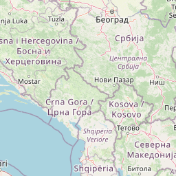
Graphic overview for OpenStreetMap Land Use Data for Kosovo
OpenStreetMap Land Use Data for Kosovo Land use areas from OpenStreetMap for Kosovo Kosovo Oct. 19, 2024 OpenStreetMap Contributors Open Database License
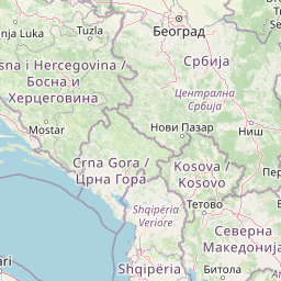
Graphic overview for OpenStreetMap Land Use Data for Montenegro
OpenStreetMap Land Use Data for Montenegro Land use areas from OpenStreetMap for Montenegro Montenegro Oct. 19, 2024 OpenStreetMap Contributors Open Database License
Graphic overview for OpenStreetMap Land Use Data for North Macedonia
OpenStreetMap Land Use Data for North Macedonia Land use areas from OpenStreetMap for North Macedonia North Macedonia Oct. 19, 2024 OpenStreetMap Contributors Open Database License
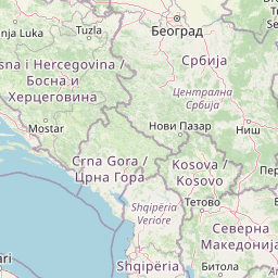
Graphic overview for OpenStreetMap Land Use Data for Serbia
OpenStreetMap Land Use Data for Serbia Land use areas from OpenStreetMap for Serbia Serbia Oct. 19, 2024 OpenStreetMap Contributors Open Database License
Showing 14 of 14 records (filtered)