Showing 10 of 77 records (filtered)
Applied filters: Keywords: map × Clear all filters
« first previous Page 2 of 8. next last »
Preview
Title
Abstract
Country
INSPIRE Theme
Publication Date
Responsible Party
Topic Categories
Keywords
Access Constraints
Actions
Graphic overview for Color orthophoto 2017 (RGB), across the entire territory of RSM, metadata on the download service, ATOM - INSPIRE
Color orthophoto 2017 (RGB), across the entire territory of RSM, metadata on the download service, ATOM - INSPIRE Predefined service for downloading color orthophotos 2017 (RGB), for the entire territory of the Republic of Macedonia. Created in accordance … North Macedonia Not specified Aug. 15, 2017 Agency for Real Estate Cadastre Not specified otherRestrictions
Graphic overview for Color orthophoto 2017 (RGB), over the entire territory of RSM, dataset metadata
Color orthophoto 2017 (RGB), over the entire territory of RSM, dataset metadata Color orthophoto from 2017, for the entire territory of the country. RGB (Red, green, blue). 0.3m pixel. Owned by the … North Macedonia Not specified Aug. 15, 2017 Ministry of Agriculture, Forestry and Water Management otherRestrictions
Graphic overview for Engineering and geological map of the Republic of Macedonia at a scale of 1:200,000
Engineering and geological map of the Republic of Macedonia at a scale of 1:200,000 ENGINEERING GEOLOGICAL COMPOSITION AND BASIC PROPERTIES OF ROCKS, symbols for formations of geological processes, symbols for physical and mechanical properties … North Macedonia Jan. 1, 1977 Geological Survey of the Republic of North Macedonia otherRestrictions
Graphic overview for Engineering geological map of the Republic of Macedonia, regionalization of the terrain according to stability and seismicity at a scale of 1:200,000
Engineering geological map of the Republic of Macedonia, regionalization of the terrain according to stability and seismicity at a scale of 1:200,000 Terrain categorization according to stability, seismic zoning of the terrain according to engineering-geological conditions of the soil North Macedonia Jan. 1, 1977 Geological Survey of the Republic of North Macedonia otherRestrictions
Graphic overview for General geographic map from the Military Geographical Institute Belgrade (VGI) at a scale of 1:1000000- Skopje K34, metadata for the dataset
General geographic map from the Military Geographical Institute Belgrade (VGI) at a scale of 1:1000000- Skopje K34, metadata for the dataset The general geographic map at a scale of 1:1000000 was produced by the VGI Belgrade and supplemented in 1972. The … North Macedonia Not specified None Agency for Real Estate Cadastre otherRestrictions
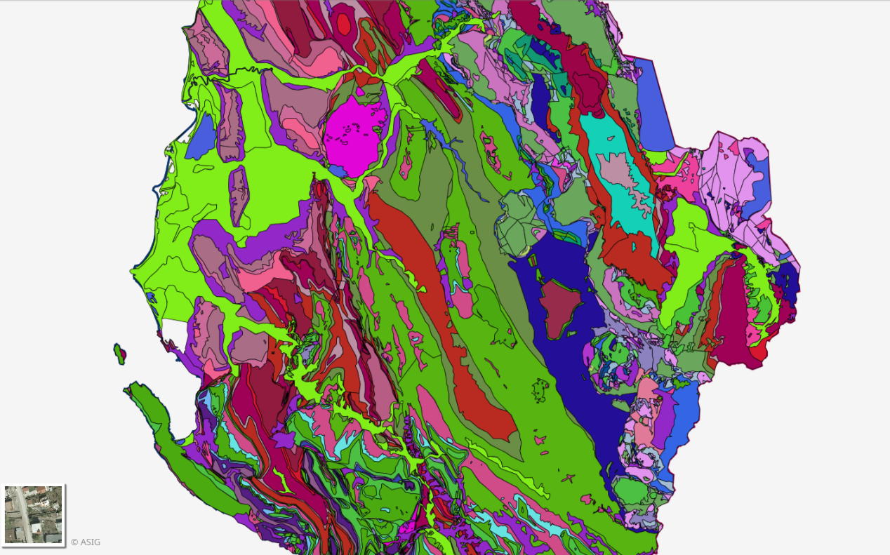
Graphic overview for Geological Map 1:200000
Geological Map 1:200000 Geological Map of the territory of the Republic of Albania Shk.1:200 000. The data were officially obtained from the Albanian … Albania Not specified Aug. 16, 2016 Albanian Geological Survey (AGS) Not specified copyright
Graphic overview for Global map of the Republic of Macedonia at a scale of 1:1000000 raster (Land Use), metadata for the dataset
Global map of the Republic of Macedonia at a scale of 1:1000000 raster (Land Use), metadata for the dataset The land use data includes 9 categories of land use in the Republic of North Macedonia. North Macedonia Not specified March 8, 2006 Agency for Real Estate Cadastre otherRestrictions
Graphic overview for Global map of the Republic of Macedonia at a scale of 1:1000000 raster (Relief), dataset metadata
Global map of the Republic of Macedonia at a scale of 1:1000000 raster (Relief), dataset metadata Raster relief data is organized into accessible rows and columns with pixel dimensions of 30” by 30”. This type of … North Macedonia March 8, 2006 Agency for Real Estate Cadastre otherRestrictions
Graphic overview for Global map of the Republic of Macedonia in scale 1:1000000 raster (Land cover), metadata of download service, WCS
Global map of the Republic of Macedonia in scale 1:1000000 raster (Land cover), metadata of download service, WCS Dataset discovery service - Global map of the Republic of Macedonia at a scale of 1:1000000 raster (Land cover). The … North Macedonia Not specified Jan. 1, 2015 Agency for Real Estate Cadastre Not specified otherRestrictions
Graphic overview for Gravimetric map of the Republic of North Macedonia (Bougeot anomalies) 1:500,000
Gravimetric map of the Republic of North Macedonia (Bougeot anomalies) 1:500,000 Gravimetric map of the Republic of North Macedonia (Bougeot anomalies) 1:500,000 North Macedonia Not specified Jan. 1, 1966 Geological Survey of the Republic of North Macedonia otherRestrictions
Showing 10 of 77 records (filtered)
« first previous Page 2 of 8. next last »