Showing 7 of 77 records (filtered)
Applied filters: Keywords: map × Clear all filters
« first previous Page 8 of 8.
Preview
Title
Abstract
Country
INSPIRE Theme
Publication Date
Responsible Party
Topic Categories
Keywords
Access Constraints
Actions
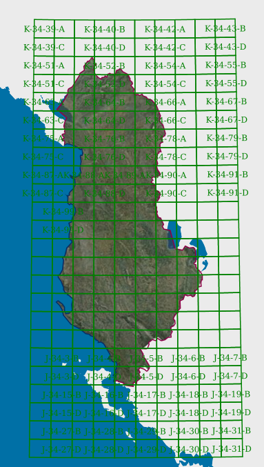
Graphic overview for Map Nomenclature 1:5000
Map Nomenclature 1:5000 These are the data generated by the digitalization of the 5000 scale topographic map frame, which have been scanned, georeferenced … Albania Oct. 13, 2020 State Authority for Geospatial Information copyright
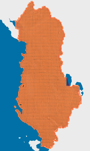
Graphic overview for Map Nomenclature 1:50000
Map Nomenclature 1:50000 These are the data generated by the digitalization of the 50,000 scale topographic map frame, which have been scanned, georeferenced … Albania Oct. 13, 2020 State Authority for Geospatial Information copyright
🖼️
Orthoimagery - INSPIRE WMS service Service provides INSPIRE compliant viewable orthoimagery data from the Digital orthophoto dataset. Serbia Nov. 1, 2020 Republic Geodetic Authority otherRestrictions
🖼️
Physical waters - INSPIRE WMS service Service provides INSPIRE compliant viewable physical waters data from the Topographic map at a scale of 1 : 250 000 … Serbia Nov. 1, 2020 Republic Geodetic Authority otherRestrictions
🖼️
Railway Transport Network - INSPIRE WMS service Service provides INSPIRE compliant viewable railway transport network data from the Topographic map at a scale of 1 : 250 … Serbia Nov. 1, 2020 Republic Geodetic Authority otherRestrictions
🖼️
Road Transport Network - INSPIRE WMS service Service provides INSPIRE compliant viewable road transport network data from the Topographic map at a scale of 1 : 250 … Serbia Nov. 1, 2020 Republic Geodetic Authority otherRestrictions
🖼️
Vector Statistical Units - INSPIRE WMS service Service provides INSPIRE compliant viewable vector statistical units data from the Statistical units dataset. Serbia Nov. 1, 2020 Republic Geodetic Authority otherRestrictions
Showing 7 of 77 records (filtered)
« first previous Page 8 of 8.