Showing 10 of 56 records (filtered)
Applied filters: Keywords: network × Clear all filters
« first previous Page 2 of 6. next last »
Preview
Title
Abstract
Country
INSPIRE Theme
Publication Date
Responsible Party
Topic Categories
Keywords
Access Constraints
Actions
Graphic overview for Hydrography of the Republic of North Macedonia (TK200-2004), metadata for the dataset
Hydrography of the Republic of North Macedonia (TK200-2004), metadata for the dataset The hydrographic dataset of the Republic of North Macedonia includes the following elements: watercourses, canals, gullies, streams, springs and dams. … North Macedonia Not specified July 1, 2018 Agency for Real Estate Cadastre otherRestrictions
Graphic overview for Hydrography of the Republic of North Macedonia TC 200-2017, metadata for dataset
Hydrography of the Republic of North Macedonia TC 200-2017, metadata for dataset The content of the dataset "Hydrography of the Republic of North Macedonia TC 200-2017" has been updated from the vector … North Macedonia Not specified Dec. 31, 2024 Agency for Real Estate Cadastre otherRestrictions
Graphic overview for Infrastructure facilities of the Republic of North Macedonia, metadata for the dataset
Infrastructure facilities of the Republic of North Macedonia, metadata for the dataset Infrastructure facilities are classified into the following basic classification types: 1. Traffic infrastructure 2. Water supply infrastructure 3. Sewage infrastructure … North Macedonia Not specified Jan. 1, 2013 Agency for Real Estate Cadastre otherRestrictions
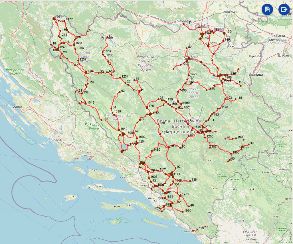
Graphic overview for Intersections on the main road network of the Federation of Bosnia and Herzegovina
Intersections on the main road network of the Federation of Bosnia and Herzegovina A road junction is a point spatial object that marks the junction of two or more road sections or another … Bosnia and Herzegovina Jan. 1, 2025 PC Roads of the Federation of Bosnia and Herzegovina doo Sarajevo otherRestrictions
Graphic overview for Levelling network in the Republic of North Macedonia, dataset metadata
Levelling network in the Republic of North Macedonia, dataset metadata Leveling reference networks are part of the national geodetic infrastructure and serve as the basis for determining the heights of … North Macedonia Not specified Jan. 1, 1962 Agency for Real Estate Cadastre otherRestrictions
Graphic overview for Local leveling networks in the Republic of North Macedonia, dataset metadata
Local leveling networks in the Republic of North Macedonia, dataset metadata Local leveling networks represent a set of leveling lines with permanently stabilized and easily accessible benchmarks, spatially organized in closed … North Macedonia Not specified Jan. 1, 1946 Agency for Real Estate Cadastre otherRestrictions
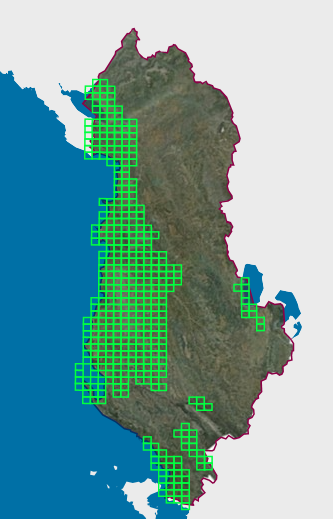
Graphic overview for Map Nomenclature 1:10000
Map Nomenclature 1:10000 These are the data created by the digitalization of the 1:10000 scale topographic map frame, which are scanned, georeferenced and … Albania Oct. 13, 2020 State Authority for Geospatial Information (ASIG) copyright
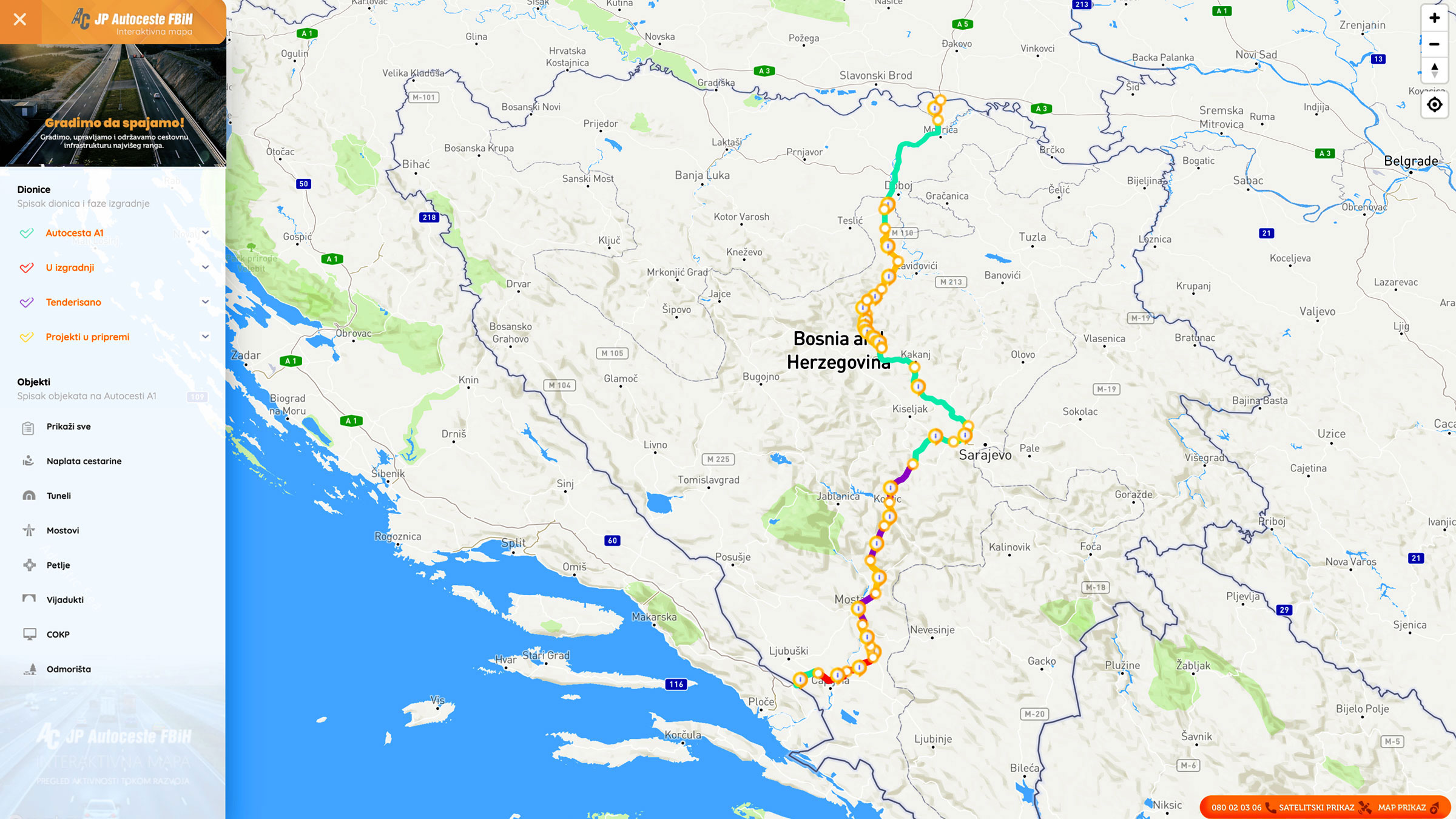
Graphic overview for Nodes
Nodes The nodal point represents the position (point element) that represents the place (position) of the beginning of the section or … Bosnia and Herzegovina None PC Highways of FBiH otherRestrictions
Graphic overview for Overview topographic map from the Military Geographical Institute Belgrade (VGI) at a scale of 1:500000 (PTK 500) - Skopje 56, metadata for the dataset
Overview topographic map from the Military Geographical Institute Belgrade (VGI) at a scale of 1:500000 (PTK 500) - Skopje 56, metadata for the dataset The overview topographic map at a scale of 1:500,000 was produced by the VGI Belgrade in 1982. The map is … North Macedonia Not specified Jan. 1, 1982 Agency for Real Estate Cadastre otherRestrictions
Graphic overview for Passive GNSS network in the Republic of North Macedonia (MAKREF), dataset metadata
Passive GNSS network in the Republic of North Macedonia (MAKREF), dataset metadata The passive GNSS network in the Republic of Macedonia (MACREF) is divided into three tiers. The first-tier GNSS point network … North Macedonia Not specified Jan. 1, 2010 Agency for Real Estate Cadastre otherRestrictions
Showing 10 of 56 records (filtered)
« first previous Page 2 of 6. next last »