Showing 5 of 5 records (filtered)
Applied filters: Topic Category: location × Keywords: network × Clear all filters
Preview
Title
Abstract
Country
INSPIRE Theme
Publication Date
Responsible Party
Topic Categories
Keywords
Access Constraints
Actions
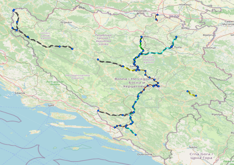
Graphic overview for Facilities under the jurisdiction of the Highway Federation of Bosnia and Herzegovina
Facilities under the jurisdiction of the Highway Federation of Bosnia and Herzegovina Tollbooths, rest areas, Grnični prešel, COKP, permanent facilities (bridge, tunnel, viaduct, ramp, overpass, underpass and culverts) and auxiliary facilities Bosnia and Herzegovina None JP Highways of the Federation of BiH doo Mostar otherRestrictions
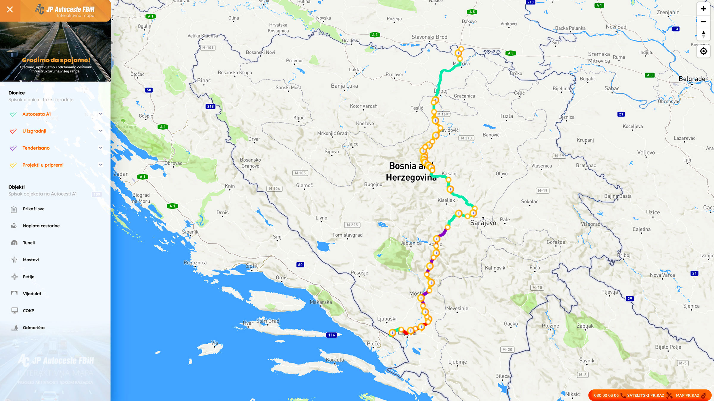
Graphic overview for Nodes
Nodes The nodal point represents the position (point element) that represents the place (position) of the beginning of the section or … Bosnia and Herzegovina None PC Highways of FBiH otherRestrictions
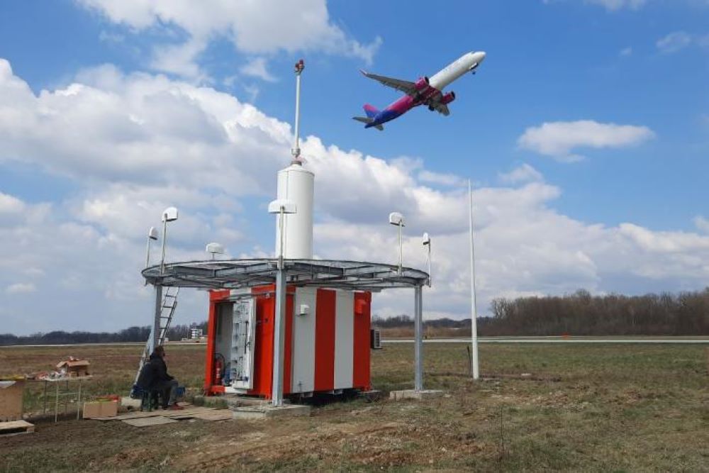
Graphic overview for Radio navigation devices
Radio navigation devices Radio navigation devices required for air traffic control operations. Bosnia and Herzegovina Jan. 1, 2014 BiH Air Navigation Services Agency (BHANSA) otherRestrictions
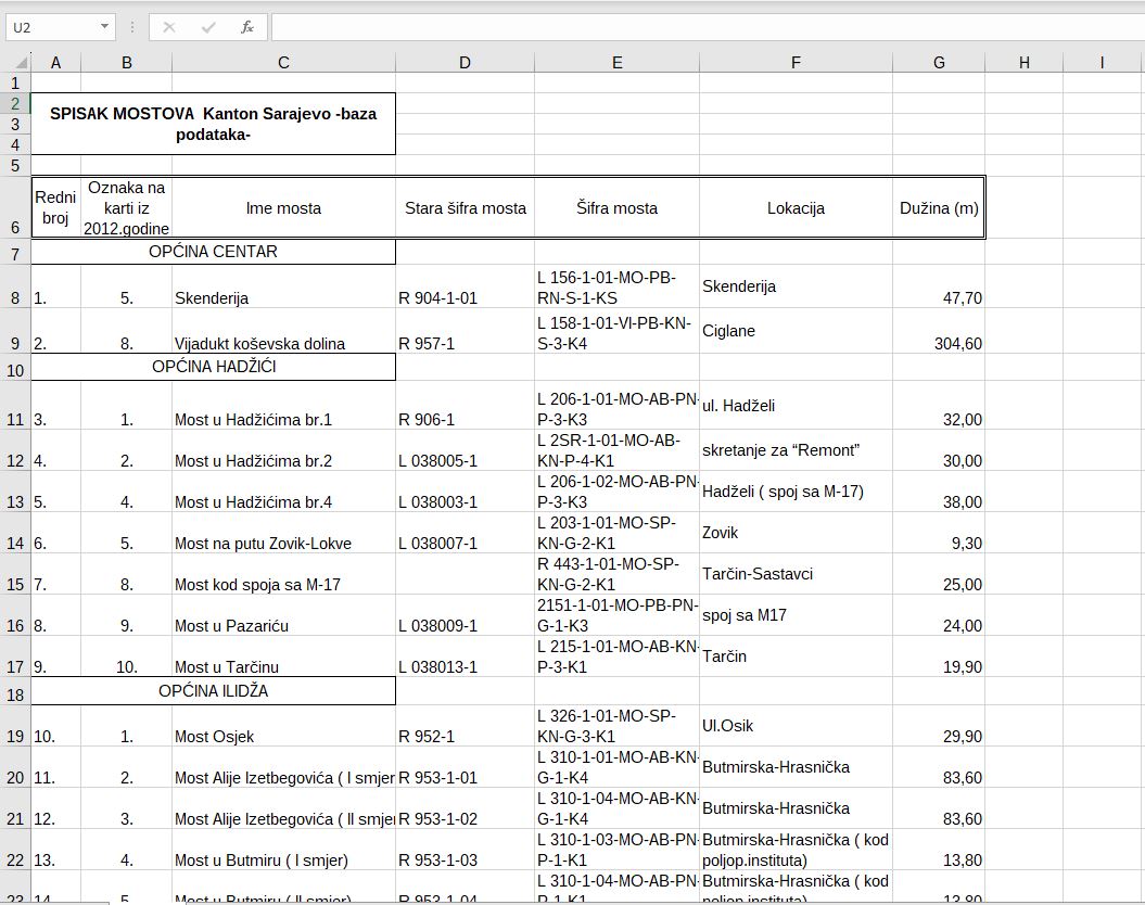
Graphic overview for Bridges on road traffic managed by the Directorate for Roads of Canton Sarajevo
Bridges on road traffic managed by the Directorate for Roads of Canton Sarajevo A bridge is a road structure that is an integral part of a public road. There are 58 bridges on … Bosnia and Herzegovina Jan. 1, 2012 Sarajevo Canton Road Directorate other Restrictions
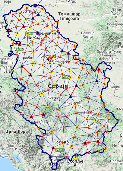
Graphic overview for National trigonometric network
National trigonometric network The national trigonometric network consists of a set of permanently stabilized reference points which are spatially classified into two main … Serbia June 1, 2008 Republic Geodetic Authority otherRestrictions
Showing 5 of 5 records (filtered)