Showing 10 of 46 records (filtered)
Applied filters: Keywords: orthoimagery × Clear all filters
« first previous Page 2 of 5. next last »
Preview
Title
Abstract
Country
INSPIRE Theme
Publication Date
Responsible Party
Topic Categories
Keywords
Access Constraints
Actions
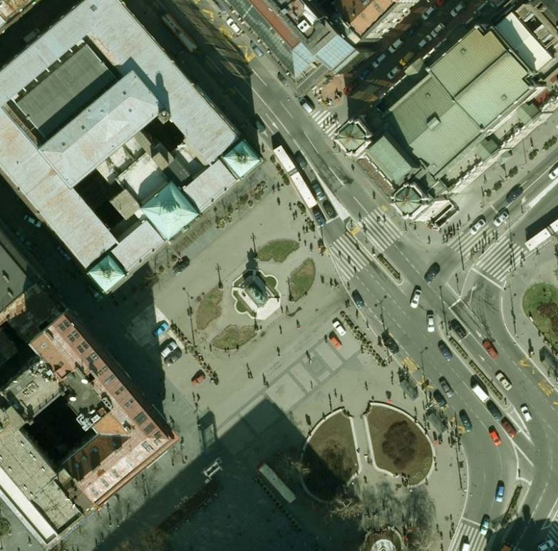
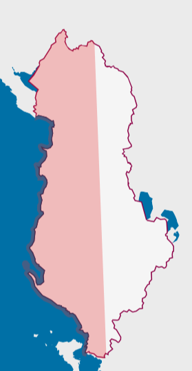
Graphic overview for Orthoimagery Coverage 2026
Orthoimagery Coverage 2026 Information on the coverage area and technical specifications of orthoimagery for the year 2026. The data are in accordance with … Albania July 28, 2026 State Authority for Geospatial Information (ASIG) copyright
Graphic overview for Orthophoto in infrared color spectrum 2009 (CIR)
Orthophoto in infrared color spectrum 2009 (CIR) Orthophoto in infrared color spectrum from 2009, for the entire territory of the country. CIR (color infra red) with a … North Macedonia Not specified July 15, 2009 Ministry of Agriculture, Forestry and Water Management otherRestrictions
Graphic overview for Orthophoto in infrared spectrum 2017 (CIR), over the entire territory of RSM, metadata for the dataset
Orthophoto in infrared spectrum 2017 (CIR), over the entire territory of RSM, metadata for the dataset Orthophoto in infrared spectrum from 2017, for the entire territory of the country. CIR (Color Infrared). 0.3m pixel. Owned by … North Macedonia Not specified Aug. 15, 2017 Ministry of Agriculture, Forestry and Water Management otherRestrictions
Graphic overview for Orthophoto of the Republic of Macedonia TK25, dataset metadata
Orthophoto of the Republic of Macedonia TK25, dataset metadata Orthophoto of the Republic of Macedonia made in black and white in 2006. North Macedonia Not specified Jan. 1, 2006 Agency for Real Estate Cadastre otherRestrictions
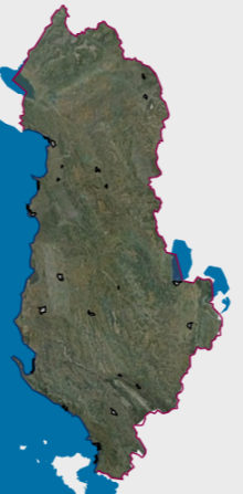
Graphic overview for 2019 UAV Orthoimagery Coverage
2019 UAV Orthoimagery Coverage The orthoimagery coverage of the 2019 Orthophoto (UAV) is the product of UAV (Drone) photography of 24 urban areas. The … Albania May 11, 2022 State Authority for Geospatial Information copyright
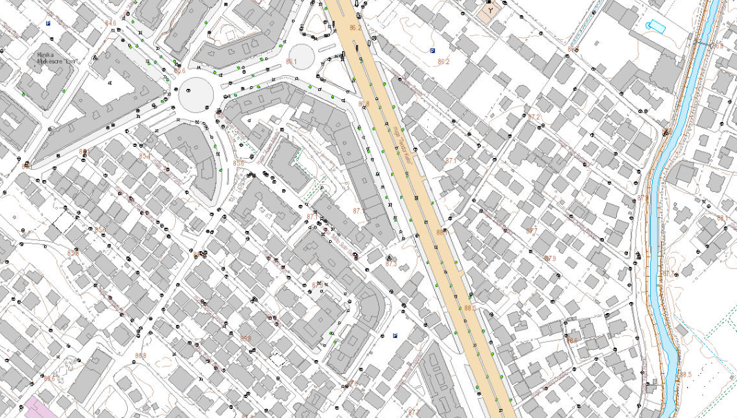
Graphic overview for Base Map Image, Topographic Map 1:2000
Base Map Image, Topographic Map 1:2000 Base map of scale 1:2 000 in Image (raster) format, created by the State Authority for Geospatial Information (ASIG) in … Albania June 29, 2022 State Authority for Geospatial Information copyright
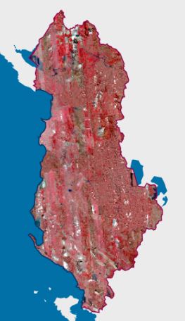
Graphic overview for CIR 2023 Satellite Orthophoto
CIR 2023 Satellite Orthophoto The CIR 2023 Satellite Orthophoto covers an area of approximately 28,748 km². It was obtained through the “Satellite Service” project … Albania Sept. 23, 2024 State Authority for Geospatial Information copyright
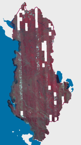
Graphic overview for CIR 2025 Satellite Orthophoto
CIR 2025 Satellite Orthophoto The CIR 2025 Satellite Orthophoto covers 95% of the territory of the Republic of Albania from satellite images collected during … Albania Aug. 20, 2025 State Authority for Geospatial Information copyright
Graphic overview for Digital orthophoto
Digital orthophoto Digital orthophoto (DOF) is a georeferenced digital image of a part of the earth's surface of certain dimensions that has … Serbia Jan. 1, 1970 Republic Geodetic Authority otherRestrictions
Graphic overview for Digital orthophoto of resolution 1.5 m (2014-2015)
Digital orthophoto of resolution 1.5 m (2014-2015) Digital orthophoto (DOP) is a georeferenced digital image of a part of the earth's surface of certain dimensions that has … Serbia Jan. 1, 1970 Republic Geodetic Authority otherRestrictions
Showing 10 of 46 records (filtered)
« first previous Page 2 of 5. next last »