Showing 7 of 17 records (filtered)
Applied filters: Keywords: orthophoto × Clear all filters
« first previous Page 2 of 2.
Preview
Title
Abstract
Country
INSPIRE Theme
Publication Date
Responsible Party
Topic Categories
Keywords
Access Constraints
Actions
Graphic overview for Orthophoto in infrared spectrum 2017 (CIR), over the entire territory of RSM, metadata for the dataset
Orthophoto in infrared spectrum 2017 (CIR), over the entire territory of RSM, metadata for the dataset Orthophoto in infrared spectrum from 2017, for the entire territory of the country. CIR (Color Infrared). 0.3m pixel. Owned by … North Macedonia Not specified Aug. 15, 2017 Ministry of Agriculture, Forestry and Water Management otherRestrictions
Graphic overview for Orthophoto of the Republic of Macedonia TK25, dataset metadata
Orthophoto of the Republic of Macedonia TK25, dataset metadata Orthophoto of the Republic of Macedonia made in black and white in 2006. North Macedonia Not specified Jan. 1, 2006 Agency for Real Estate Cadastre otherRestrictions
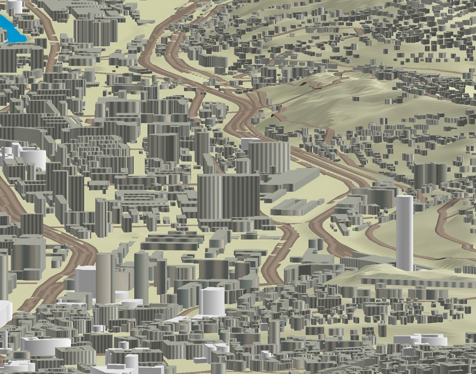
Graphic overview for 3D objects of Urban Areas of Sarajevo Canton
3D objects of Urban Areas of Sarajevo Canton The Sarajevo Canton Development Planning Institute, through the project "Updating the Basic Topographic Map 1:5,000 of Urban Areas of the … Bosnia and Herzegovina None Sarajevo Canton Development Planning Institute restricted
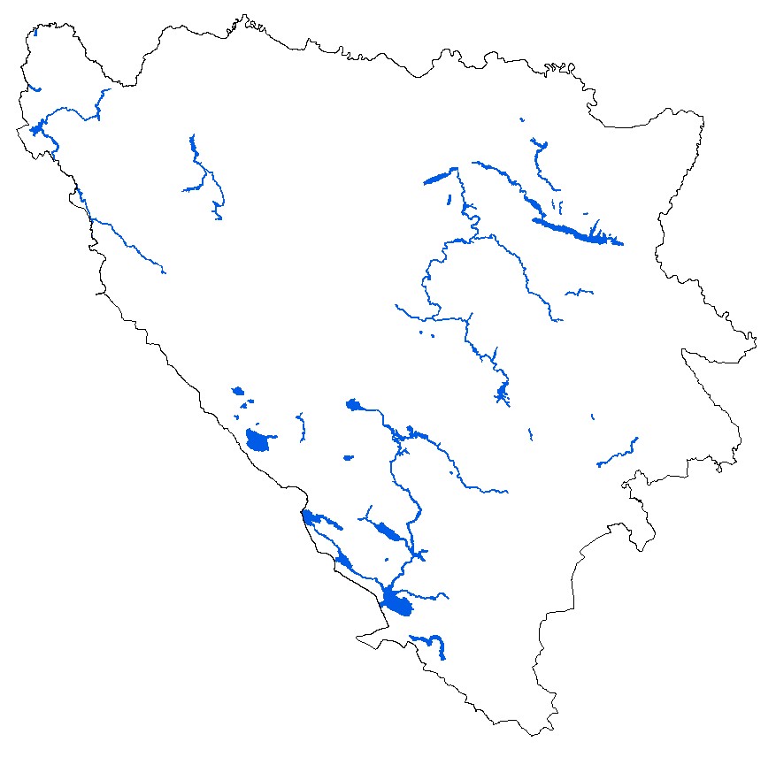
Graphic overview for Digital orthophoto 2018 (LiDAR project)
Digital orthophoto 2018 (LiDAR project) Within the project "Development of flood hazard and risk maps" in Bosnia and Herzegovina, one of the planned activities was … Bosnia and Herzegovina None Federal Administration for Geodetic and Property Legal Affairs other Restrictions
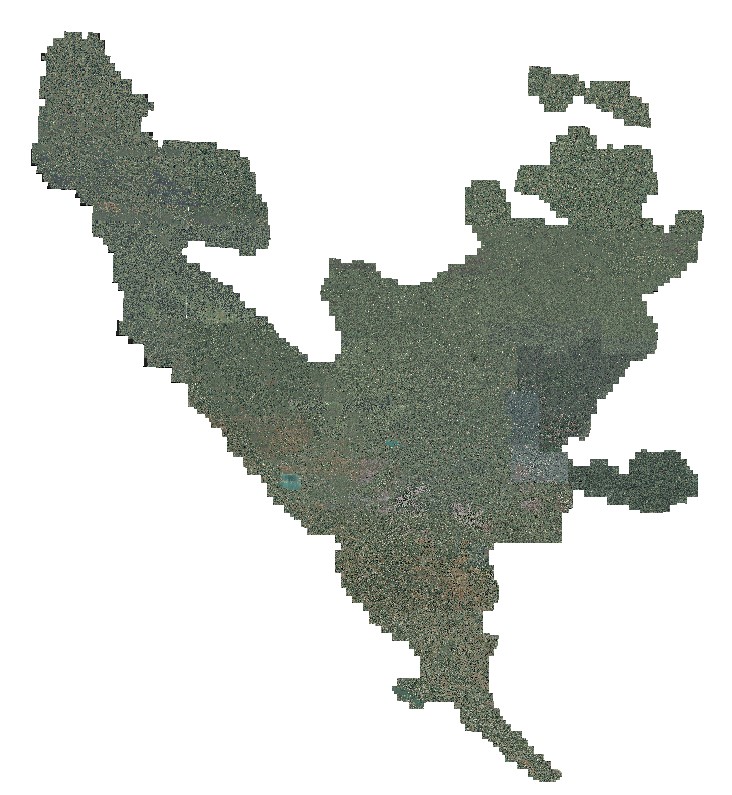
Graphic overview for Orthophoto 2008
Orthophoto 2008 Digital orthophoto images of the entire territory of the Federation of Bosnia and Herzegovina. The images were created as part … Bosnia and Herzegovina Jan. 1, 2009 Federal Administration for Geodetic and Property Legal Affairs other Restrictions
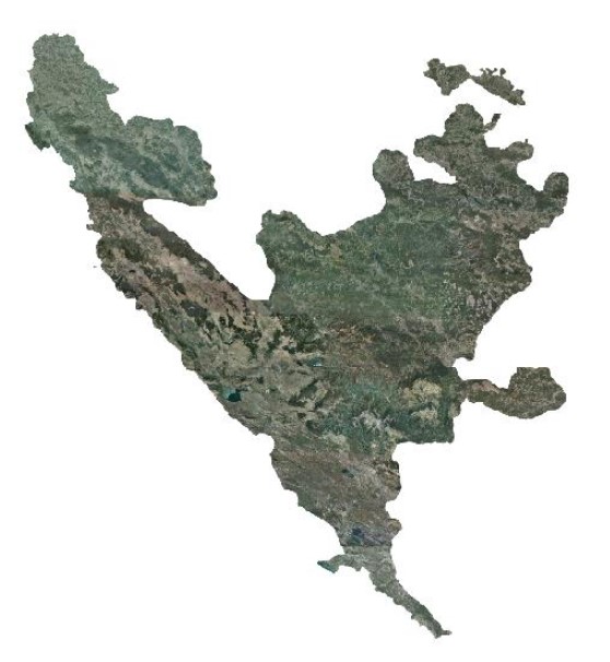
Graphic overview for Orthophoto 2012
Orthophoto 2012 Digital orthophoto images of the Federation of Bosnia and Herzegovina at scales of 1:2500 and 1:5000, created based on aerial … Bosnia and Herzegovina Jan. 1, 2013 Federal Administration for Geodetic and Property Legal Affairs other Restrictions
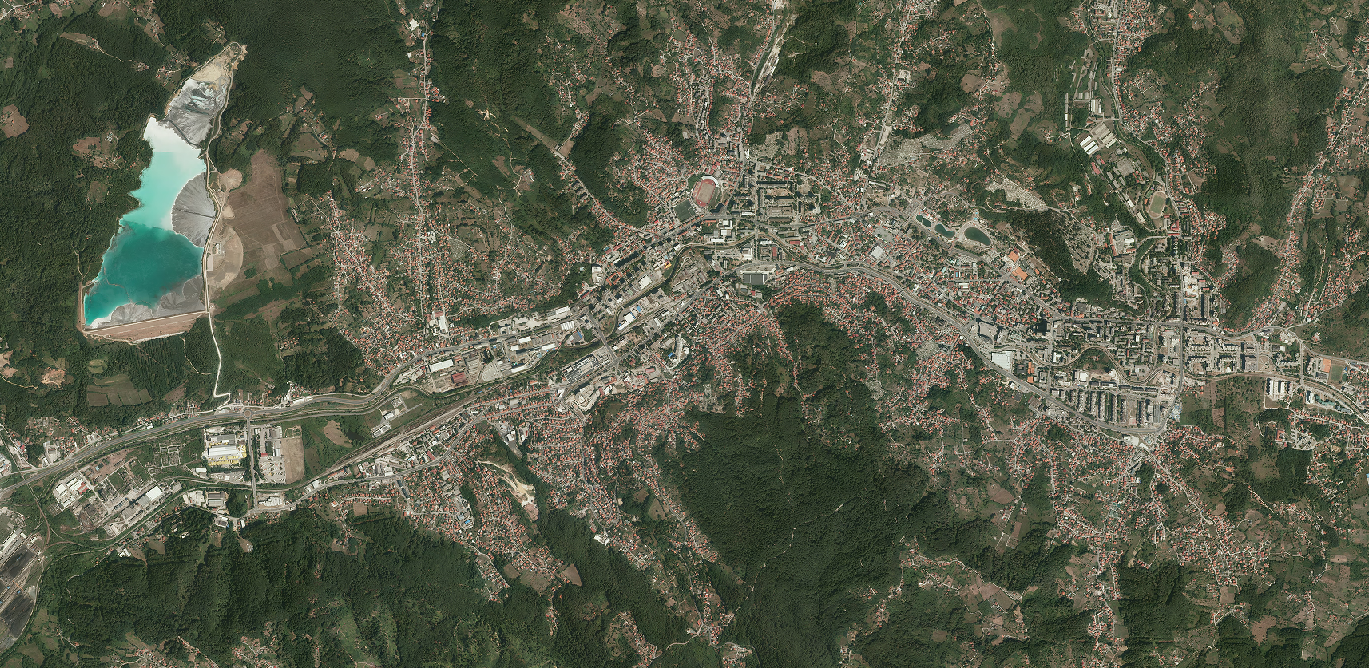
Graphic overview for Orthophoto 2022
Orthophoto 2022 The orthophoto images were created based on aerial photographs of the Federation of Bosnia and Herzegovina. The images were taken … Bosnia and Herzegovina May 1, 2023 Federal Administration for Geodetic and Property Legal Affairs other Restrictions
Showing 7 of 17 records (filtered)
« first previous Page 2 of 2.