Showing 10 of 42 records (filtered)
Applied filters: Keywords: top × Clear all filters
« first previous Page 2 of 4. next last »
Preview
Title
Abstract
Country
INSPIRE Theme
Publication Date
Responsible Party
Topic Categories
Keywords
Access Constraints
Actions
Graphic overview for Land Classification in the Republic of North Macedonia, metadata of the dataset - INSPIRE
Land Classification in the Republic of North Macedonia, metadata of the dataset - INSPIRE The land classification dataset of the Republic of North Macedonia covers land cover such as arable land, vineyards, forests, pastures, … North Macedonia Not specified Nov. 27, 2019 Agency for Real Estate Cadastre otherRestrictions
Graphic overview for Land Classification in the Republic of North Macedonia, metadata of the review service, WMS
Land Classification in the Republic of North Macedonia, metadata of the review service, WMS Service for viewing the land classification data collection - WMS of the Republic of North Macedonia from the TK 25 … North Macedonia Not specified Nov. 27, 2019 Agency for Real Estate Cadastre Not specified otherRestrictions
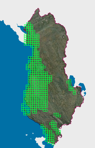
Graphic overview for Map Nomenclature 1:10000
Map Nomenclature 1:10000 These are the data created by the digitalization of the 1:10000 scale topographic map frame, which are scanned, georeferenced and … Albania Oct. 13, 2020 State Authority for Geospatial Information (ASIG) copyright
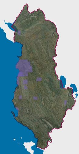
Graphic overview for Orthoimagery Coverage (Year 1976-1986)
Orthoimagery Coverage (Year 1976-1986) Orthoimagery overlay for the Orthophoto layer of 1976-1986. The data are in accordance with the standard with the Council of … Albania Jan. 13, 2025 State Authority for Geospatial Information (ASIG) copyright
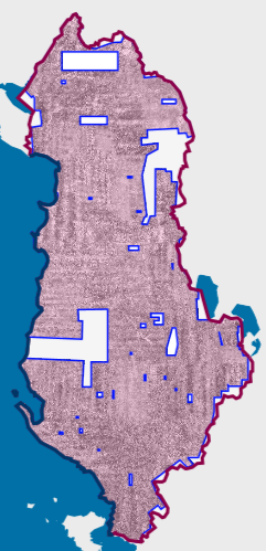
Graphic overview for Orthoimagery Coverage (Year 1976-1986) 1:25 000
Orthoimagery Coverage (Year 1976-1986) 1:25 000 Orthoimagery overlay for the Orthophoto layer of 1976-1986 1:25 000. The data are in accordance with the standard with the … Albania Jan. 26, 2026 State Authority for Geospatial Information (ASIG) copyright
Graphic overview for Overview topographic map from the Military Geographical Institute Belgrade (VGI) at a scale of 1:500000 (PTK 500) - Skopje 56, metadata for the dataset
Overview topographic map from the Military Geographical Institute Belgrade (VGI) at a scale of 1:500000 (PTK 500) - Skopje 56, metadata for the dataset The overview topographic map at a scale of 1:500,000 was produced by the VGI Belgrade in 1982. The map is … North Macedonia Not specified Jan. 1, 1982 Agency for Real Estate Cadastre otherRestrictions
Graphic overview for Road network of the Republic of North Macedonia (TK 200-2004), metadata for the dataset
Road network of the Republic of North Macedonia (TK 200-2004), metadata for the dataset The road network displays the following data types: highway, main road, regional road, local road, footpaths and roads under construction. … North Macedonia July 1, 2018 Agency for Real Estate Cadastre otherRestrictions
Graphic overview for Road network of the Republic of North Macedonia TC 200-2017, metadata for dataset
Road network of the Republic of North Macedonia TC 200-2017, metadata for dataset The content of the dataset "Road Network of the Republic of North Macedonia TC 200-2017" has been updated from the … North Macedonia Dec. 31, 2024 Agency for Real Estate Cadastre otherRestrictions
Graphic overview for Topographic map from the Military Geographical Institute Belgrade (VGI) at a scale of 1:100000 (TK100), metadata for the dataset
Topographic map from the Military Geographical Institute Belgrade (VGI) at a scale of 1:100000 (TK100), metadata for the dataset The topographic map at a scale of 1:100,000 was produced by the VGI Belgrade in the period 1970-1987. The territory … North Macedonia Not specified Jan. 1, 1970 Agency for Real Estate Cadastre otherRestrictions
Graphic overview for Topographic map from the Military Geographical Institute Belgrade (VGI) at a scale of 1:200000 (TK200), metadata for the dataset
Topographic map from the Military Geographical Institute Belgrade (VGI) at a scale of 1:200000 (TK200), metadata for the dataset The topographic map at a scale of 1:200,000 was produced by the VGI Belgrade in 1973. The territory of the … North Macedonia Not specified Jan. 1, 1973 Agency for Real Estate Cadastre otherRestrictions
Showing 10 of 42 records (filtered)
« first previous Page 2 of 4. next last »