Showing 10 of 42 records (filtered)
Applied filters: Keywords: top × Clear all filters
« first previous Page 3 of 4. next last »
Preview
Title
Abstract
Country
INSPIRE Theme
Publication Date
Responsible Party
Topic Categories
Keywords
Access Constraints
Actions
Graphic overview for Topographic map from the Military Geographical Institute Belgrade (VGI) at a scale of 1:25000 (TK25), metadata for the dataset
Topographic map from the Military Geographical Institute Belgrade (VGI) at a scale of 1:25000 (TK25), metadata for the dataset The topographic map in scale 1: 25000 was produced by VGI Belgrade in 1978. The territory of the Republic of … North Macedonia Not specified Jan. 1, 1978 Agency for Real Estate Cadastre otherRestrictions
Graphic overview for Topographic map from the Military Geographical Institute Belgrade (VGI) at a scale of 1:50000 (TK50), metadata for the dataset
Topographic map from the Military Geographical Institute Belgrade (VGI) at a scale of 1:50000 (TK50), metadata for the dataset The topographic map at a scale of 1:50000 was produced by the VGI Belgrade in 1966. The territory of the … North Macedonia Not specified Jan. 1, 1966 Agency for Real Estate Cadastre otherRestrictions
Graphic overview for Topographic map of the Republic of Macedonia at a scale of 1:100000, metadata for the dataset
Topographic map of the Republic of Macedonia at a scale of 1:100000, metadata for the dataset The topographic map at a scale of 1:100,000 in raster format was produced in the period from July 2015 to … North Macedonia Not specified Jan. 1, 2018 Agency for Real Estate Cadastre otherRestrictions
Graphic overview for Topographic map of the Republic of North Macedonia at a scale of 1:25000-raster, metadata for the dataset
Topographic map of the Republic of North Macedonia at a scale of 1:25000-raster, metadata for the dataset The topographic map at a scale of 1:25000 was produced in the period from 2004 to 2011 and is in … North Macedonia Not specified Jan. 1, 2012 Agency for Real Estate Cadastre otherRestrictions
Graphic overview for Topographic map of the Republic of North Macedonia at a scale of 1:50000 (TK 50 - 2004) - raster, metadata for the dataset
Topographic map of the Republic of North Macedonia at a scale of 1:50000 (TK 50 - 2004) - raster, metadata for the dataset The topographic maps at a scale of 1:50,000 were produced in the period 2012 - 2015 and are in raster … North Macedonia Not specified Jan. 1, 2015 Agency for Real Estate Cadastre otherRestrictions
Graphic overview for Topographic map of the Republic of North Macedonia at a scale of 1:50000 (TK 50 - 2017) - raster, metadata for the dataset
Topographic map of the Republic of North Macedonia at a scale of 1:50000 (TK 50 - 2017) - raster, metadata for the dataset The contents of the "Topographic Map of the Republic of North Macedonia" at a scale of 1: 50000 (TK 50 … North Macedonia Not specified Aug. 1, 2024 Agency for Real Estate Cadastre otherRestrictions
Graphic overview for Topographic map of the Republic of North Macedonia TC 200 - 2017 - raster, dataset metadata
Topographic map of the Republic of North Macedonia TC 200 - 2017 - raster, dataset metadata The content of the "Topographic Map in Scale TC 200 - 2017" has been updated from the vector data of … North Macedonia Not specified Dec. 31, 2024 Agency for Real Estate Cadastre otherRestrictions
Graphic overview for Topographical features of the Republic of North Macedonia TC 200-2017, metadata for the dataset
Topographical features of the Republic of North Macedonia TC 200-2017, metadata for the dataset The content of the dataset for "Topographic Features of the Republic of North Macedonia TC 200-2017" has been updated from … North Macedonia Dec. 31, 2024 Agency for Real Estate Cadastre otherRestrictions
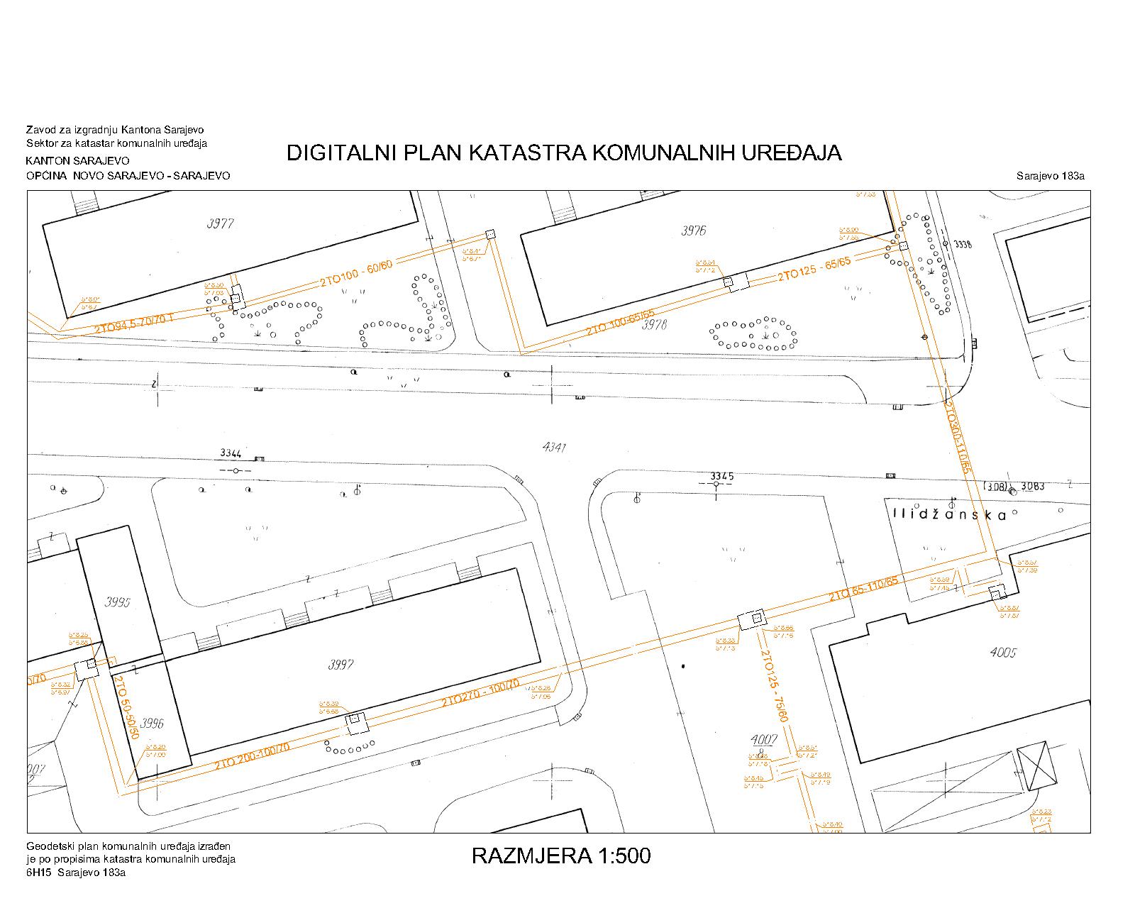
Graphic overview for District heating network
District heating network The utility cadastre is a special technical record in which data on all underground and above-ground utility installations are collected, … Bosnia and Herzegovina Jan. 1, 1982 Sarajevo Canton Construction Institute restricted
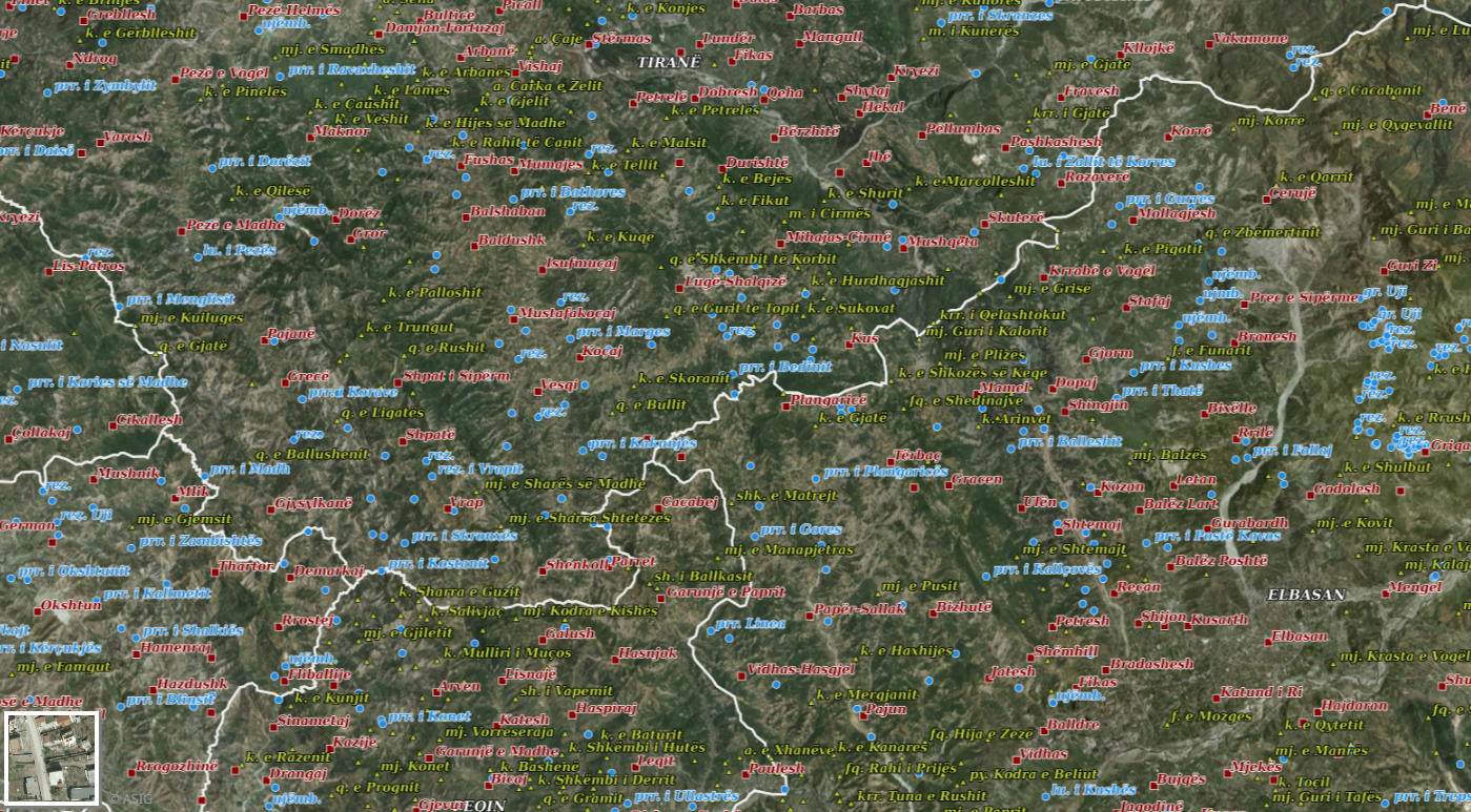
Graphic overview for Geographical Names 2018
Geographical Names 2018 Geographical names consist of three groups of geospatial data. Geographical names of relief (toponymy), hydrography, and villages/cities. Geographical names for … Albania July 23, 2018 State Authority for Geospatial Information copyright
Showing 10 of 42 records (filtered)
« first previous Page 3 of 4. next last »