Showing 9 of 9 records (filtered)
Applied filters: Responsible Party: State Authority for Geospatial Information × Keywords: top × Clear all filters
Preview
Title
Abstract
Country
INSPIRE Theme
Publication Date
Responsible Party
Topic Categories
Keywords
Access Constraints
Actions
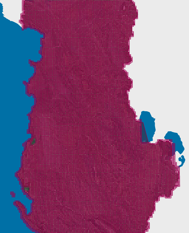
Graphic overview for Map Nomenclature 1:10000
Map Nomenclature 1:10000 These are the data created by the digitalization of the 1:10000 scale topographic map frame, which are scanned, georeferenced and … Albania Oct. 13, 2020 State Authority for Geospatial Information (ASIG) copyright
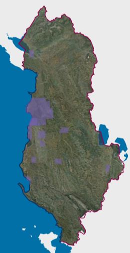
Graphic overview for Orthoimagery Coverage (Year 1976-1986)
Orthoimagery Coverage (Year 1976-1986) Orthoimagery overlay for the Orthophoto layer of 1976-1986. The data are in accordance with the standard with the Council of … Albania Jan. 13, 2025 State Authority for Geospatial Information (ASIG) copyright
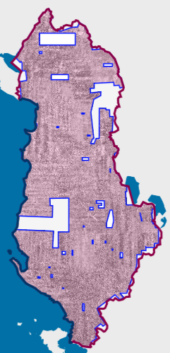
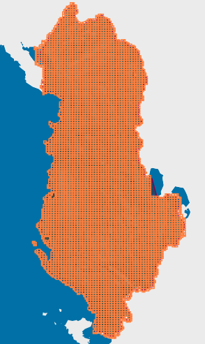
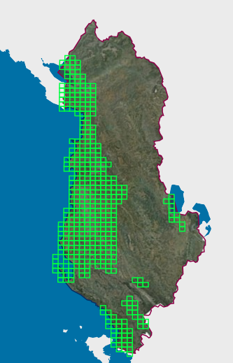
Graphic overview for Orthoimagery Coverage (Year 1976-1986) 1:25 000
Orthoimagery Coverage (Year 1976-1986) 1:25 000 Orthoimagery overlay for the Orthophoto layer of 1976-1986 1:25 000. The data are in accordance with the standard with the … Albania Jan. 26, 2026 State Authority for Geospatial Information (ASIG) copyright
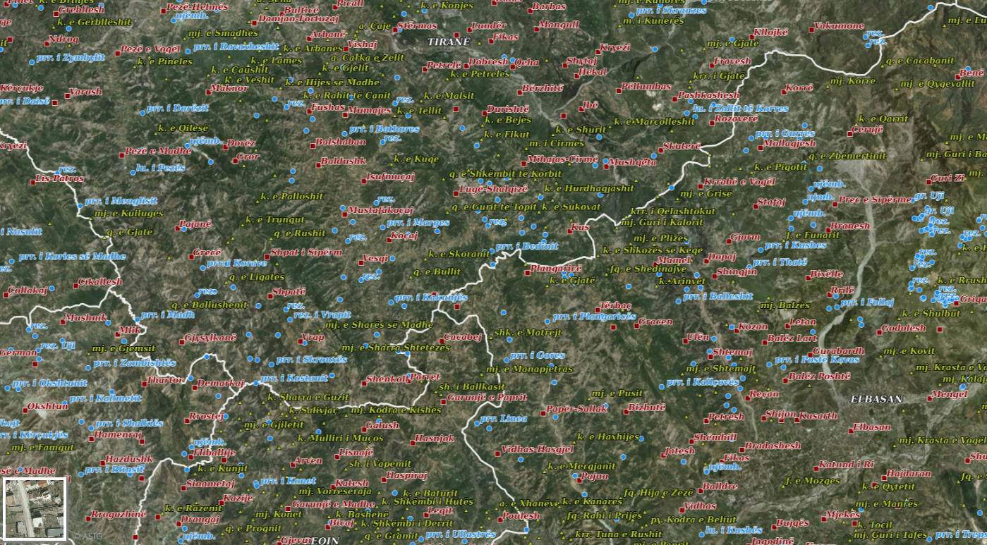
Graphic overview for Geographical Names 2018
Geographical Names 2018 Geographical names consist of three groups of geospatial data. Geographical names of relief (toponymy), hydrography, and villages/cities. Geographical names for … Albania July 23, 2018 State Authority for Geospatial Information copyright
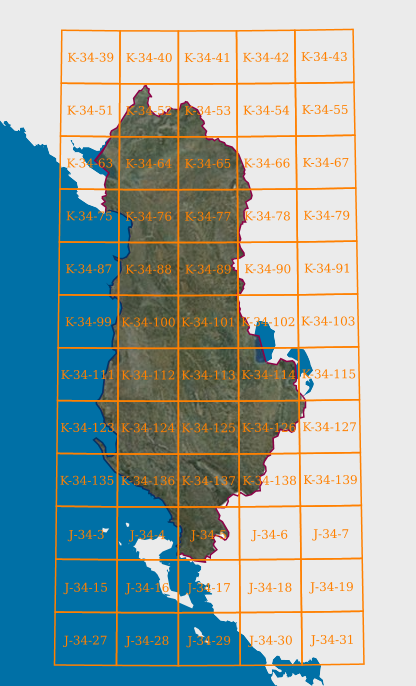
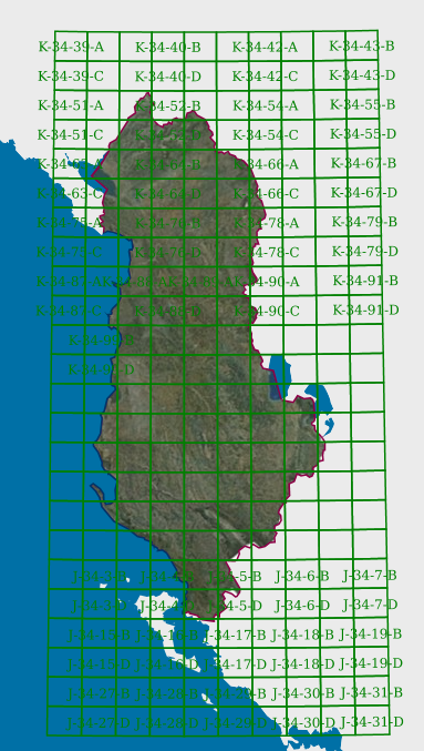
Graphic overview for Map Nomenclature 1:100000
Map Nomenclature 1:100000 These are the data generated by the digitalization of the 100,000 scale topographic map frame, which have been scanned, georeferenced … Albania Oct. 13, 2020 State Authority for Geospatial Information copyright
Graphic overview for Map Nomenclature 1:2500
Map Nomenclature 1:2500 These are the data created by the digitalization of the 2500 scale topographic map frame, which have been scanned, georeferenced … Albania Oct. 13, 2020 State Authority for Geospatial Information copyright
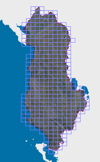
Graphic overview for Map Nomenclature 1:25000
Map Nomenclature 1:25000 These are the data generated by the digitalization of the 1:25000 scale topographic map frame, which have been scanned, georeferenced … Albania Oct. 13, 2020 State Authority for Geospatial Information copyright
Graphic overview for Map Nomenclature 1:5000
Map Nomenclature 1:5000 These are the data generated by the digitalization of the 5000 scale topographic map frame, which have been scanned, georeferenced … Albania Oct. 13, 2020 State Authority for Geospatial Information copyright
Graphic overview for Map Nomenclature 1:50000
Map Nomenclature 1:50000 These are the data generated by the digitalization of the 50,000 scale topographic map frame, which have been scanned, georeferenced … Albania Oct. 13, 2020 State Authority for Geospatial Information copyright
Showing 9 of 9 records (filtered)