Showing 10 of 222 records (filtered)
Applied filters: Keywords: traffic × Clear all filters
Page 1 of 22. next last »
Preview
Title
Abstract
Country
INSPIRE Theme
Publication Date
Responsible Party
Topic Categories
Keywords
Access Constraints
Actions
🖼️
Amendments to the Regulation Plan "Slatinska Bare" City of Cazin By the decision of the Municipal Council of the Municipality of Cazin adopted at the session held on May 31, … Bosnia and Herzegovina July 14, 2023 City of Cazin otherRestrictions
🖼️
Amendments to the Regulatory Plan "Wood Industry", Ključ By the decision of the Municipal Council of the Municipality of Ključ adopted at the session held on September 2, … Bosnia and Herzegovina March 3, 2025 Municipality of Ključ otherRestrictions
🖼️
Amendments to the Zoning Plan of the business zone "Ratkovac" City of Cazin By the decision of the Municipal Council of the Municipality of Cazin adopted at the session held on May 31, … Bosnia and Herzegovina July 14, 2023 City of Cazin otherRestrictions
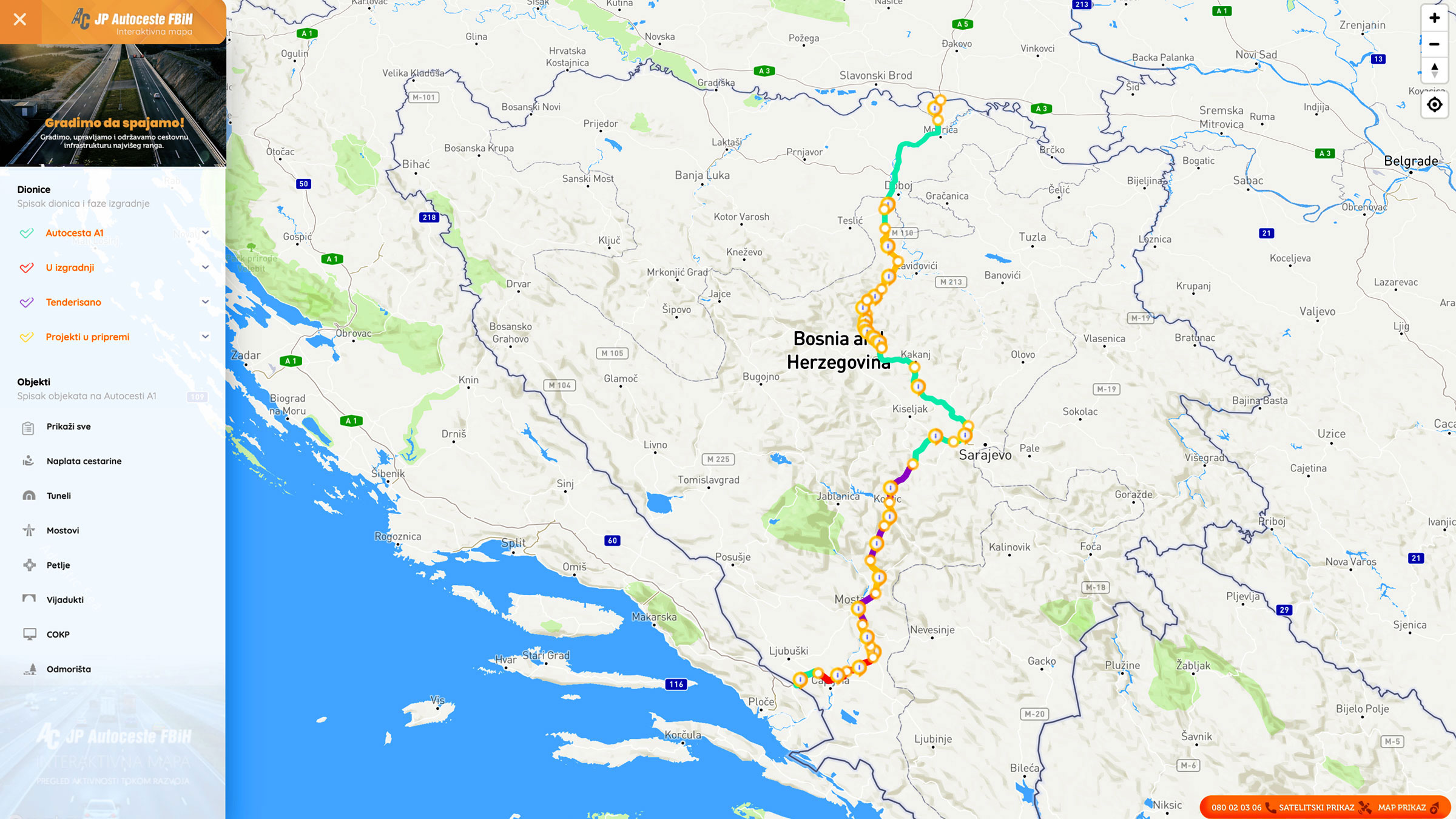
Graphic overview for Facilities under the jurisdiction of the Highway Federation of Bosnia and Herzegovina
Facilities under the jurisdiction of the Highway Federation of Bosnia and Herzegovina Tollbooths, rest areas, Grnični prešel, COKP, permanent facilities (bridge, tunnel, viaduct, ramp, overpass, underpass and culverts) and auxiliary facilities Bosnia and Herzegovina None JP Highways of the Federation of BiH doo Mostar otherRestrictions
Graphic overview for General geographic map from the Military Geographical Institute Belgrade (VGI) at a scale of 1:1000000- Skopje K34, metadata for the dataset
General geographic map from the Military Geographical Institute Belgrade (VGI) at a scale of 1:1000000- Skopje K34, metadata for the dataset The general geographic map at a scale of 1:1000000 was produced by the VGI Belgrade and supplemented in 1972. The … North Macedonia Not specified None Agency for Real Estate Cadastre otherRestrictions
Graphic overview for Infrastructure facilities of the Republic of North Macedonia, metadata for the dataset
Infrastructure facilities of the Republic of North Macedonia, metadata for the dataset Infrastructure facilities are classified into the following basic classification types: 1. Traffic infrastructure 2. Water supply infrastructure 3. Sewage infrastructure … North Macedonia Not specified Jan. 1, 2013 Agency for Real Estate Cadastre otherRestrictions
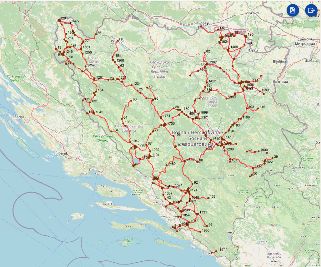
Graphic overview for Intersections on the main road network of the Federation of Bosnia and Herzegovina
Intersections on the main road network of the Federation of Bosnia and Herzegovina A road junction is a point spatial object that marks the junction of two or more road sections or another … Bosnia and Herzegovina Jan. 1, 2025 PC Roads of the Federation of Bosnia and Herzegovina doo Sarajevo otherRestrictions
Graphic overview for Nodes
Nodes The nodal point represents the position (point element) that represents the place (position) of the beginning of the section or … Bosnia and Herzegovina None PC Highways of FBiH otherRestrictions
Graphic overview for Overview topographic map from the Military Geographical Institute Belgrade (VGI) at a scale of 1:500000 (PTK 500) - Skopje 56, metadata for the dataset
Overview topographic map from the Military Geographical Institute Belgrade (VGI) at a scale of 1:500000 (PTK 500) - Skopje 56, metadata for the dataset The overview topographic map at a scale of 1:500,000 was produced by the VGI Belgrade in 1982. The map is … North Macedonia Not specified Jan. 1, 1982 Agency for Real Estate Cadastre otherRestrictions
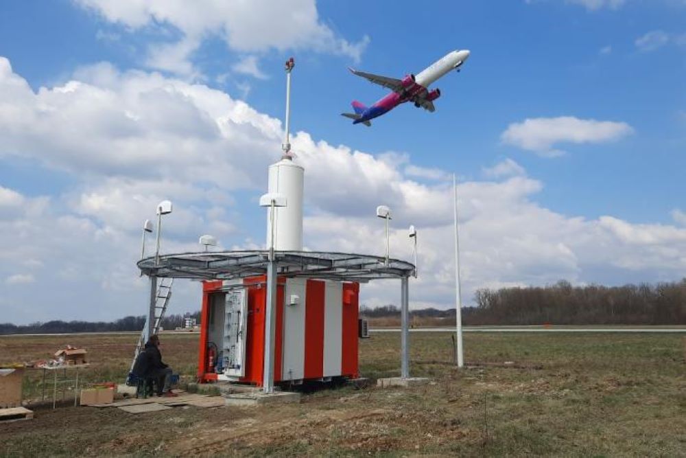
Graphic overview for Radio navigation devices
Radio navigation devices Radio navigation devices required for air traffic control operations. Bosnia and Herzegovina Jan. 1, 2014 BiH Air Navigation Services Agency (BHANSA) otherRestrictions
Showing 10 of 222 records (filtered)
Page 1 of 22. next last »