Showing 10 of 1172 records
« first previous Page 10 of 117. next last »
Preview
Title
Abstract
Country
INSPIRE Theme
Publication Date
Responsible Party
Topic Categories
Keywords
Access Constraints
Actions
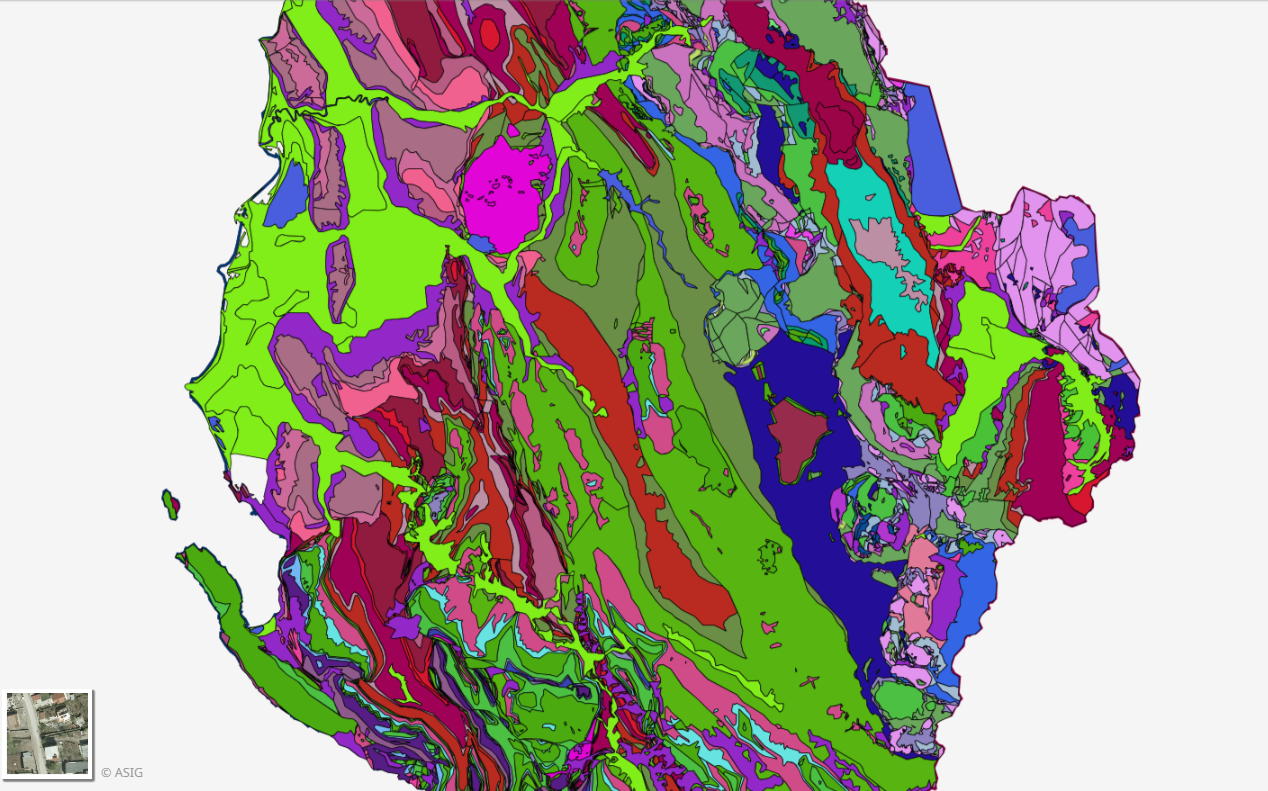
Graphic overview for Geological Map 1:200000
Geological Map 1:200000 Geological Map of the territory of the Republic of Albania Shk.1:200 000. The data were officially obtained from the Albanian … Albania Not specified Aug. 16, 2016 Albanian Geological Survey (AGS) Not specified copyright
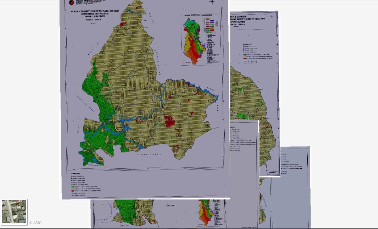
Graphic overview for Geological Zoning, Thematic Maps
Geological Zoning, Thematic Maps Zoning maps for the construction suitability of lands of 12 regions in the Republic of Albania constructed according to geological … Albania March 17, 2015 Albanian Geological Survey (AGS) copyright
🖼️
Geology, Geological maps Geological maps for the Republic of Albania. The data are officially obtained from the Albanian Geological Survey (SHGJSH). Albania Not specified None Albanian Geological Survey (AGS) Not specified copyright
Graphic overview for Global map of the Republic of Macedonia at a scale of 1:1000000 raster (Land Use), metadata for the dataset
Global map of the Republic of Macedonia at a scale of 1:1000000 raster (Land Use), metadata for the dataset The land use data includes 9 categories of land use in the Republic of North Macedonia. North Macedonia Not specified March 8, 2006 Agency for Real Estate Cadastre otherRestrictions
Graphic overview for Global map of the Republic of Macedonia at a scale of 1:1000000 raster (Relief), dataset metadata
Global map of the Republic of Macedonia at a scale of 1:1000000 raster (Relief), dataset metadata Raster relief data is organized into accessible rows and columns with pixel dimensions of 30” by 30”. This type of … North Macedonia March 8, 2006 Agency for Real Estate Cadastre otherRestrictions
Graphic overview for Global map of the Republic of Macedonia in scale 1:1000000 raster (Land cover), metadata of download service, WCS
Global map of the Republic of Macedonia in scale 1:1000000 raster (Land cover), metadata of download service, WCS Dataset discovery service - Global map of the Republic of Macedonia at a scale of 1:1000000 raster (Land cover). The … North Macedonia Not specified Jan. 1, 2015 Agency for Real Estate Cadastre Not specified otherRestrictions
Graphic overview for Graphical register of construction land of the Republic of North Macedonia, metadata of the dataset
Graphical register of construction land of the Republic of North Macedonia, metadata of the dataset The Graphical Register of Construction Land is a single register containing spatial and descriptive data on construction land in the … North Macedonia Not specified Dec. 29, 2015 Agency for Real Estate Cadastre otherRestrictions
Graphic overview for Gravimetric map of the Republic of North Macedonia (Bougeot anomalies) 1:500,000
Gravimetric map of the Republic of North Macedonia (Bougeot anomalies) 1:500,000 Gravimetric map of the Republic of North Macedonia (Bougeot anomalies) 1:500,000 North Macedonia Not specified Jan. 1, 1966 Geological Survey of the Republic of North Macedonia otherRestrictions
Graphic overview for Gravimetric network of the Republic of North Macedonia
Gravimetric network of the Republic of North Macedonia The gravimetric network is divided into: Absolute gravimetric network (zero order) and relative gravimetric network (first order). The absolute gravimetric … North Macedonia Not specified Feb. 16, 2021 Agency for Real Estate Cadastre otherRestrictions
Graphic overview for Green Cadastre of the City of Skopje, metadata for the dataset
Green Cadastre of the City of Skopje, metadata for the dataset The green cadastre contains an inventory of trees and shrubs located in public areas such as boulevard and block greenery … North Macedonia Not specified None City of Skopje otherRestrictions
Showing 10 of 1172 records
« first previous Page 10 of 117. next last »