Showing 10 of 1172 records
« first previous Page 14 of 117. next last »
Preview
Title
Abstract
Country
INSPIRE Theme
Publication Date
Responsible Party
Topic Categories
Keywords
Access Constraints
Actions
Graphic overview for LIDAR 3D laser scanning of the terrain (phase 1) - digital surface model (DSM)
LIDAR 3D laser scanning of the terrain (phase 1) - digital surface model (DSM) Digital Surface Model - DSM (Digital Surface Model) is a mathematically defined continuous surface in digital form that represents the … North Macedonia Not specified Dec. 1, 2020 Agency for Real Estate Cadastre otherRestrictions
Graphic overview for LIDAR 3D laser scanning of the terrain (phase 1) - digital terrain model (DTM)
LIDAR 3D laser scanning of the terrain (phase 1) - digital terrain model (DTM) Digital Terrain Model - DTM (Digital Terrain Model) is a mathematically defined continuous surface in digital form that represents the … North Macedonia Not specified Dec. 1, 2020 Agency for Real Estate Cadastre otherRestrictions
Graphic overview for LIDAR 3D laser scanning of the terrain (phase 1) - point cloud (x,y,z)
LIDAR 3D laser scanning of the terrain (phase 1) - point cloud (x,y,z) point cloud is a large collection of 3D points, which have defined x, y and z coordinates but can also … North Macedonia Not specified Dec. 1, 2020 Agency for Real Estate Cadastre otherRestrictions
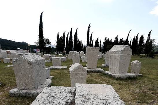
Graphic overview for List of registered potential cultural and historical heritage assets in the area of the Croatian National Theatre
List of registered potential cultural and historical heritage assets in the area of the Croatian National Theatre The list of registered potential properties is a list of all potential cultural heritage properties that have been registered with … Bosnia and Herzegovina None Institute for the Protection of Cultural-Historical Heritage / Historical Heritage of HNK/Ž otherRestrictions
Graphic overview for Local leveling networks in the Republic of North Macedonia, dataset metadata
Local leveling networks in the Republic of North Macedonia, dataset metadata Local leveling networks represent a set of leveling lines with permanently stabilized and easily accessible benchmarks, spatially organized in closed … North Macedonia Not specified Jan. 1, 1946 Agency for Real Estate Cadastre otherRestrictions
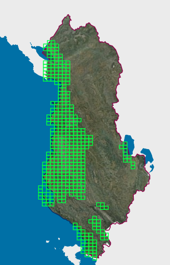
Graphic overview for Map Nomenclature 1:10000
Map Nomenclature 1:10000 These are the data created by the digitalization of the 1:10000 scale topographic map frame, which are scanned, georeferenced and … Albania Oct. 13, 2020 State Authority for Geospatial Information (ASIG) copyright
Graphic overview for Map of mineral resources of the Republic of Macedonia, ores and ore-bearing formations at a scale of 1:200,000
Map of mineral resources of the Republic of Macedonia, ores and ore-bearing formations at a scale of 1:200,000 geological - metallogenetic formations, Old Alpine formations, genetic types of deposits and occurrences and LIST OF DEPOSITS AND OCCURRENCES North Macedonia Jan. 1, 1977 Geological Survey of the Republic of North Macedonia otherRestrictions
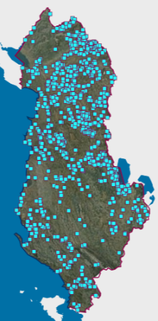
Graphic overview for Mineral Resources
Mineral Resources The Mineral Resources Map at a scale of 1:200,000 presents the main mineral resources of Albania. It was compiled by … Albania Jan. 1, 2016 National Agency of Natural Resources (NANR) copyright
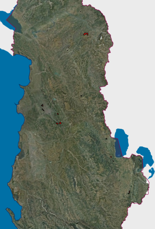
Graphic overview for Mineral Resources, Hazardous Mining Areas VKM 347
Mineral Resources, Hazardous Mining Areas VKM 347 The Mineral Resources Map at a scale of 1:200,000 presents the main mineral resources of Albania. It was compiled by … Albania Jan. 1, 2016 National Agency of Natural Resources (NANR) copyright
Graphic overview for Multipurpose area Jasen, metadata for dataset
Multipurpose area Jasen, metadata for dataset The multipurpose area "Jasen" extends over 24,127 ha and encompasses the Jakupica massif with Karadzica, Suva Planina and Suva Gora. North Macedonia Sept. 15, 2004 Ministry of Environment and Physical Planning otherRestrictions
Showing 10 of 1172 records
« first previous Page 14 of 117. next last »