Showing 10 of 1172 records
« first previous Page 16 of 117. next last »
Preview
Title
Abstract
Country
INSPIRE Theme
Publication Date
Responsible Party
Topic Categories
Keywords
Access Constraints
Actions
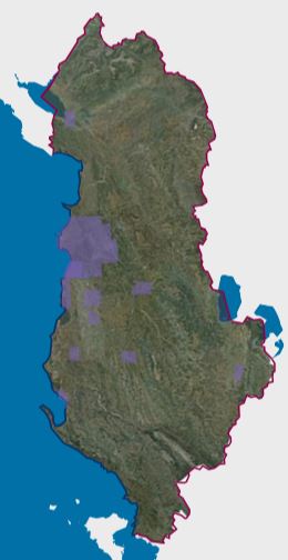
Graphic overview for Orthoimagery Coverage (Year 1976-1986)
Orthoimagery Coverage (Year 1976-1986) Orthoimagery overlay for the Orthophoto layer of 1976-1986. The data are in accordance with the standard with the Council of … Albania Jan. 13, 2025 State Authority for Geospatial Information (ASIG) copyright
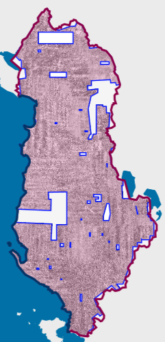
Graphic overview for Orthoimagery Coverage (Year 1976-1986) 1:25 000
Orthoimagery Coverage (Year 1976-1986) 1:25 000 Orthoimagery overlay for the Orthophoto layer of 1976-1986 1:25 000. The data are in accordance with the standard with the … Albania Jan. 26, 2026 State Authority for Geospatial Information (ASIG) copyright
🖼️
Orthoimagery Coverage (Year 1976-1986). Orthoimagery overlay for the Orthophoto layer of 1976-1986. The data are in accordance with the standard with the Council of … Albania Not specified Jan. 19, 2025 State Authority for Geospatial Information (ASIG) Not specified copyright
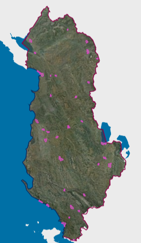
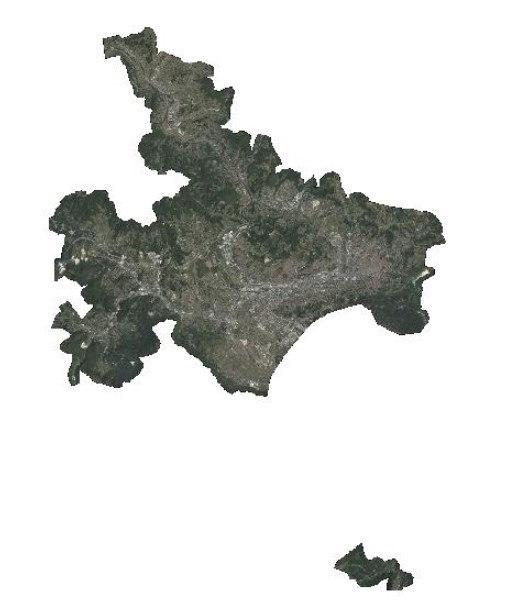
Graphic overview for Orthoimagery Coverage 2024-2026 (UAV)
Orthoimagery Coverage 2024-2026 (UAV) Orthoimagery coverage of the layer that includes the photography of the areas: 1-Dhermi photography, date 14-15 October 2024. 2- Kavaja … Albania Jan. 5, 2026 State Authority for Geospatial Information (ASIG) otherRestrictions
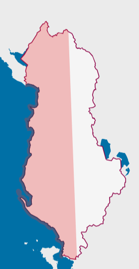
Graphic overview for Orthoimagery Coverage 2026
Orthoimagery Coverage 2026 Information on the coverage area and technical specifications of orthoimagery for the year 2026. The data are in accordance with … Albania July 28, 2026 State Authority for Geospatial Information (ASIG) copyright
🖼️
Orthoimaging The data of orthophotos 2019 (UAV), orthophoto 2018 (8 cm), orthophoto 2015 (8 cm), orthophoto CIR 2015 (8cm), orthophoto 2015 … Albania Not specified None State Authority for Geospatial Information (ASIG) Not specified copyright
Graphic overview for Orthophoto 2017
Orthophoto 2017 Digital orthophoto images of the Sarajevo Canton area at a scale of 1:2500, created based on aerial photogrammetric imaging. The … Bosnia and Herzegovina Jan. 1, 2018 Federal Administration for Geodetic and Property Legal Affairs otherRestrictions
Graphic overview for Orthophoto CIR 2015 (20 cm)
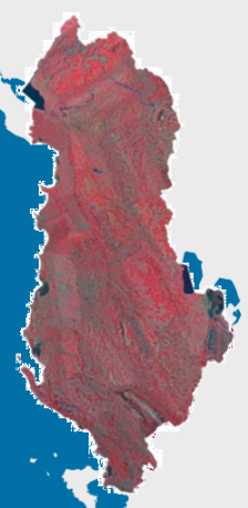
Orthophoto CIR 2015 (20 cm) Orthophoto CIR period 2015-2017 with a resolution of 20 cm per pixel which covers the territory of the Republic of … Albania Jan. 1, 2017 State Authority for Geospatial Information (ASIG) copyright
Graphic overview for Orthophoto in infrared color spectrum 2009 (CIR)
Orthophoto in infrared color spectrum 2009 (CIR) Orthophoto in infrared color spectrum from 2009, for the entire territory of the country. CIR (color infra red) with a … North Macedonia Not specified July 15, 2009 Ministry of Agriculture, Forestry and Water Management otherRestrictions
Graphic overview for Orthophoto in infrared spectrum 2017 (CIR), over the entire territory of RSM, metadata for the dataset
Orthophoto in infrared spectrum 2017 (CIR), over the entire territory of RSM, metadata for the dataset Orthophoto in infrared spectrum from 2017, for the entire territory of the country. CIR (Color Infrared). 0.3m pixel. Owned by … North Macedonia Not specified Aug. 15, 2017 Ministry of Agriculture, Forestry and Water Management otherRestrictions
Showing 10 of 1172 records
« first previous Page 16 of 117. next last »