Showing 10 of 1172 records
« first previous Page 2 of 117. next last »
Preview
Title
Abstract
Country
INSPIRE Theme
Publication Date
Responsible Party
Topic Categories
Keywords
Access Constraints
Actions
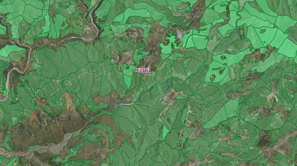
Graphic overview for ALFIS, Forest sub-plot
ALFIS, Forest sub-plot Sub-plot or “Sub-plot” is a surface unit with a minimum size of 0.5 ha, which serves for the assessment of … Albania May 14, 2026 National Forestry Agency (NFA) copyright
🖼️
Amendment and amendment of the spatial plan of the Municipality of Novi Travnik in 2026. The spatial plan contains the spatial and economic structure of the Novi Travnik municipality, the settlement system, the development infrastructure … Bosnia and Herzegovina June 3, 2016 Institute for Urbanism, Spatial Planning and Protection of Cultural and Historical Heritage of the Central Bosnia Canton otherRestrictions
🖼️
Amendment of the Spatial Plan of the Municipality of Gornji Vakuf - Uskoplje for the period from 2010 to 2020. The natural and created conditions in the area of the Municipality of Gornji Vakuf - Uskoplje point to the conclusion … Bosnia and Herzegovina April 5, 2016 Institute for Urbanism, Spatial Planning and Protection of Cultural and Historical Heritage of the Central Bosnia Canton otherRestrictions
🖼️
Amendments to the Regulation Plan "Slatinska Bare" City of Cazin By the decision of the Municipal Council of the Municipality of Cazin adopted at the session held on May 31, … Bosnia and Herzegovina July 14, 2023 City of Cazin otherRestrictions
🖼️
Amendments to the Regulatory Plan "Wood Industry", Ključ By the decision of the Municipal Council of the Municipality of Ključ adopted at the session held on September 2, … Bosnia and Herzegovina March 3, 2025 Municipality of Ključ otherRestrictions
🖼️
Amendments to the Zoning Plan of the business zone "Ratkovac" City of Cazin By the decision of the Municipal Council of the Municipality of Cazin adopted at the session held on May 31, … Bosnia and Herzegovina July 14, 2023 City of Cazin otherRestrictions
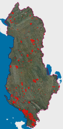
Graphic overview for Areas with natural hazards, Fires 2025
Areas with natural hazards, Fires 2025 Forest fires that have crossed the territory of the Republic of Albania during the period January-December 2025. The data are … Albania Not specified Feb. 2, 2026 National Civil Protection Agency (AKMC) Not specified copyright
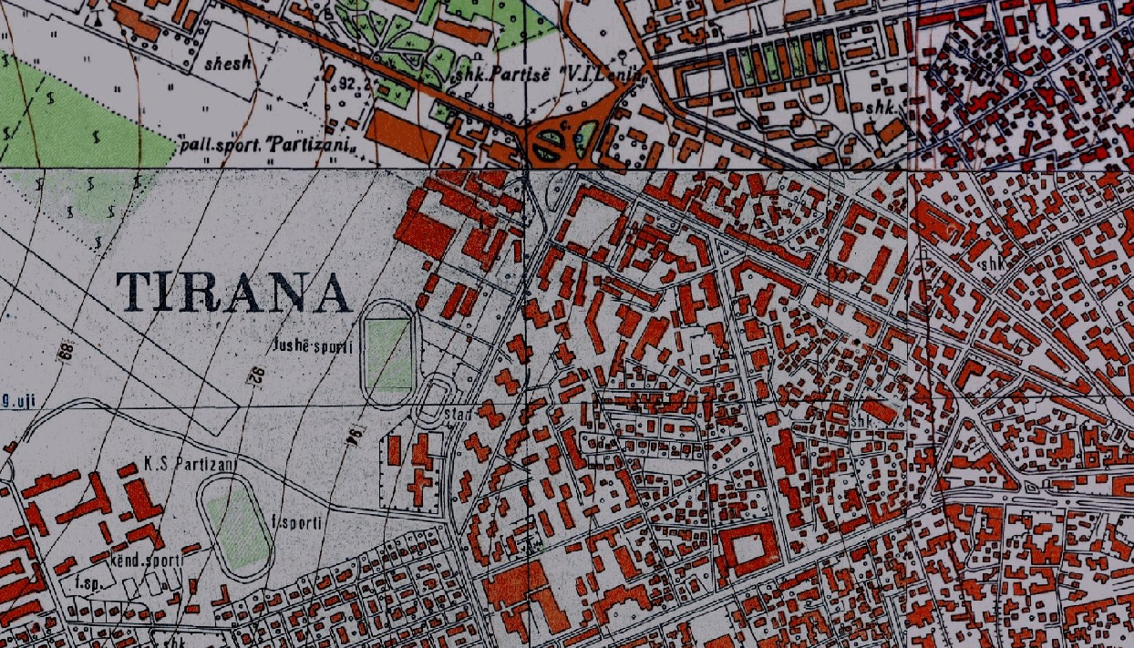
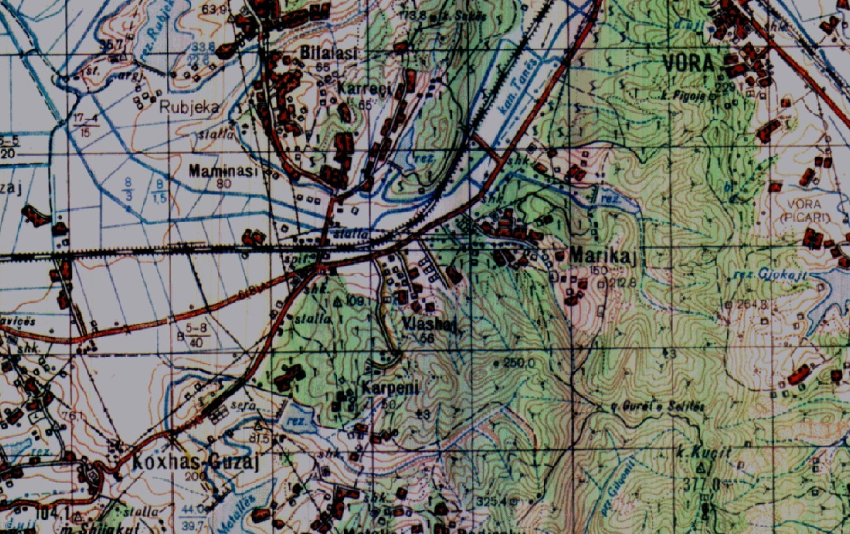
Graphic overview for Base Map, Topographic Map 1:10 000
Base Map, Topographic Map 1:10 000 Topographic map of scale 1:10000 in Image (raster) format created by the Institute of Geography and Military Infrastructure (former ITU). … Albania Jan. 1, 2015 Institute of Geography and Military Infrastructure (formerly ITU) otherRestrictions
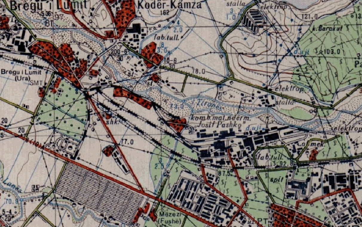
Graphic overview for Base Map, Topographic Map 1:25 000
Base Map, Topographic Map 1:25 000 Topographic maps of scale 1:25 000 were published by the Geographical Institute and Military Infrastructure (former ITU), in the years … Albania Jan. 1, 2015 Institute of Geography and Military Infrastructure (formerly ITU) otherRestrictions
Graphic overview for Base Map, Topographic Map 1:50 000
Base Map, Topographic Map 1:50 000 Topographic maps of scale 1:50000 were published by the Institute of Geography and Military Infrastructure (formerly ITU), in the period … Albania Jan. 1, 2015 Institute of Geography and Military Infrastructure (formerly ITU) otherRestrictions
Showing 10 of 1172 records
« first previous Page 2 of 117. next last »