Showing 10 of 277 records (filtered)
Applied filters: Responsible Party: Sarajevo Canton Development Planning Institute × Clear all filters
« first previous Page 4 of 28. next last »
Preview
Title
Abstract
Country
INSPIRE Theme
Publication Date
Responsible Party
Topic Categories
Keywords
Access Constraints
Actions
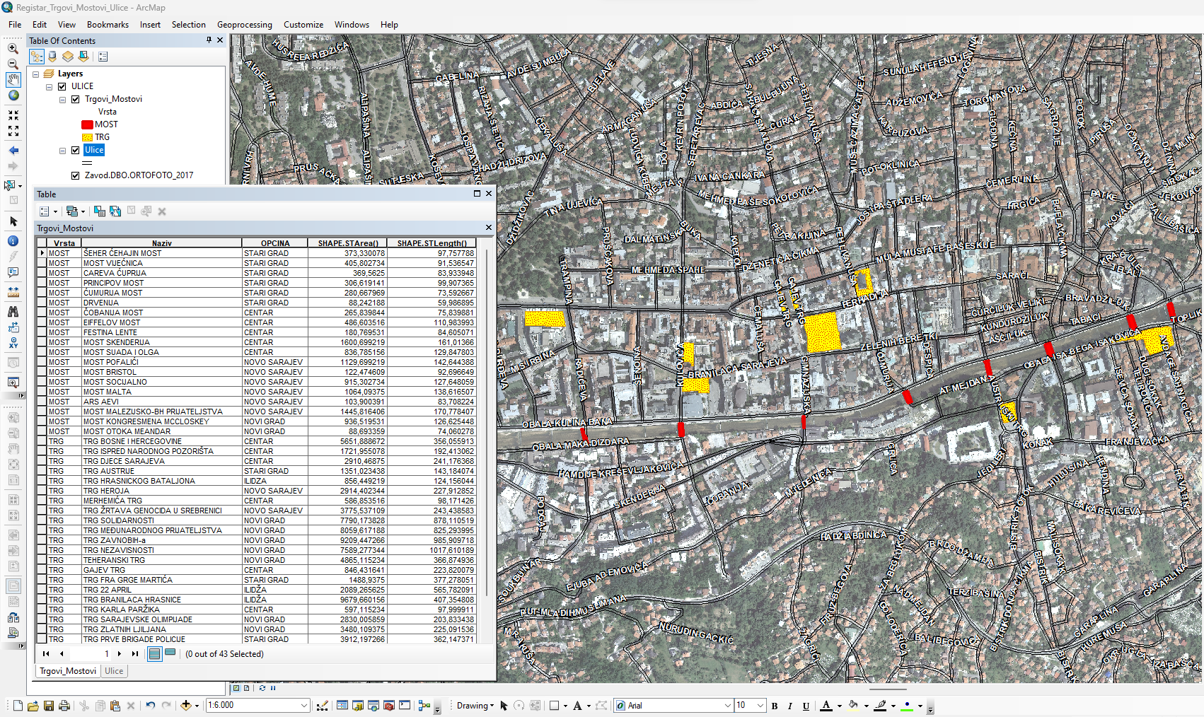
Graphic overview for Database of streets, squares and bridges
Database of streets, squares and bridges The Register of Streets, Squares and Bridges of the Sarajevo Canton contains the names of streets, squares and bridges classified … Bosnia and Herzegovina Jan. 1, 2015 Sarajevo Canton Development Planning Institute other Restrictions
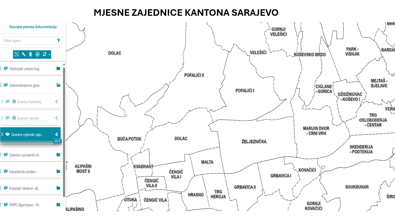
Graphic overview for Database of the boundaries of local communities of the Sarajevo Canton
Database of the boundaries of local communities of the Sarajevo Canton Within the local self-government system in the Sarajevo Canton, the local community is a mandatory and closest form of organizing … Bosnia and Herzegovina Jan. 1, 2003 Sarajevo Canton Development Planning Institute other Restrictions
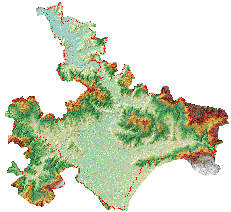
Graphic overview for Digital terrain model of the urban area of the Sarajevo Canton
Digital terrain model of the urban area of the Sarajevo Canton A digital terrain model is a set of positionally and height-determined points and geometric elements that display the terrain with … Bosnia and Herzegovina None Sarajevo Canton Development Planning Institute other Restrictions
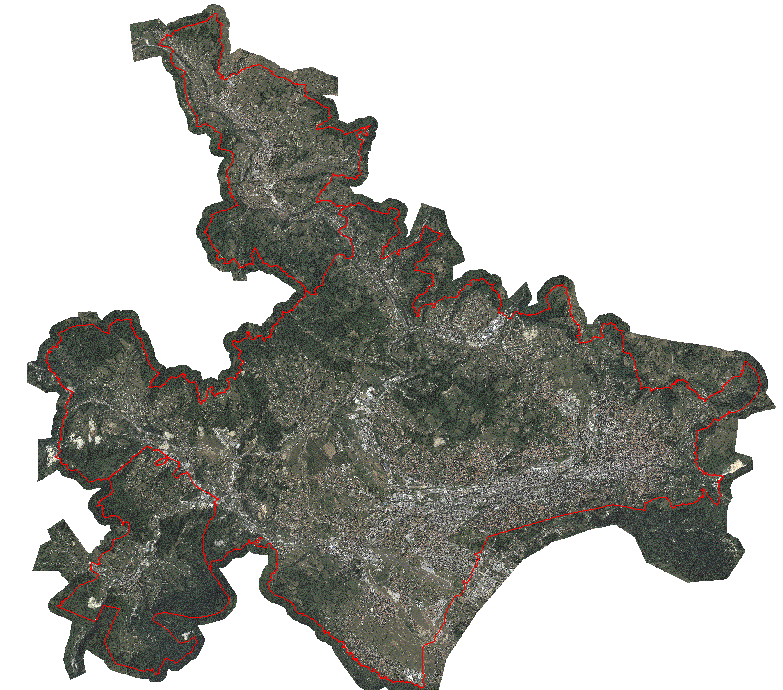
Graphic overview for Orthophoto map of the urban area of the Sarajevo Canton
Orthophoto map of the urban area of the Sarajevo Canton An orthophoto is an aerial/satellite image of the ground in digital raster form, which has been geometrically corrected using special … Bosnia and Herzegovina None Sarajevo Canton Development Planning Institute other Restrictions
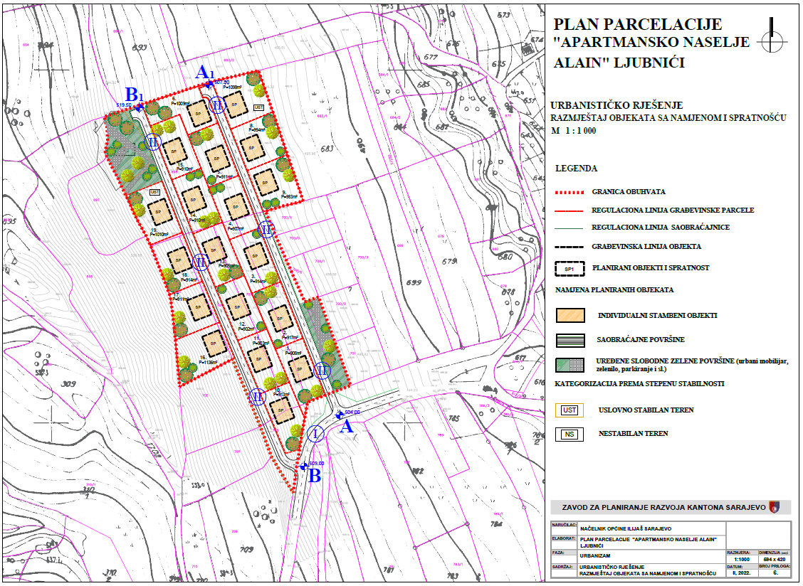
Graphic overview for Plot plan "Apartment complex Alain - Ljubnići" Ilijaš
Plot plan "Apartment complex Alain - Ljubnići" Ilijaš The spatial coverage of 2.47 ha is located in the southwestern part of the settlement of Ljubnići, Municipality of Ilijaš. … Bosnia and Herzegovina Feb. 24, 2022 Sarajevo Canton Development Planning Institute other Restrictions
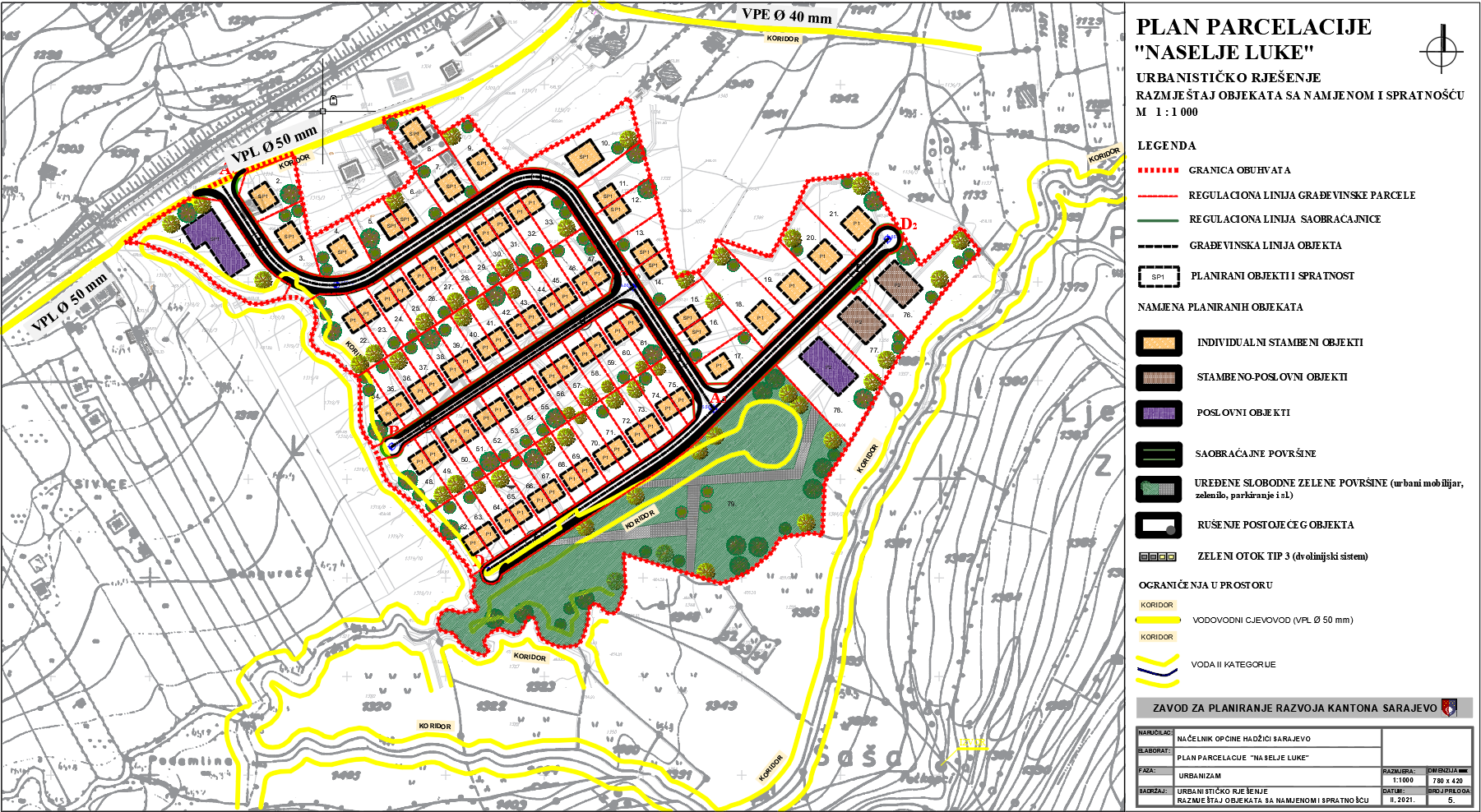
Graphic overview for Plot plan "Naselje Luka" Tarčin
Plot plan "Naselje Luka" Tarčin The detailed planning document, the subdivision plan for the "Naselje Luka" Tarčin settlement, is based on the adopted land use … Bosnia and Herzegovina Feb. 25, 2021 Sarajevo Canton Development Planning Institute other Restrictions
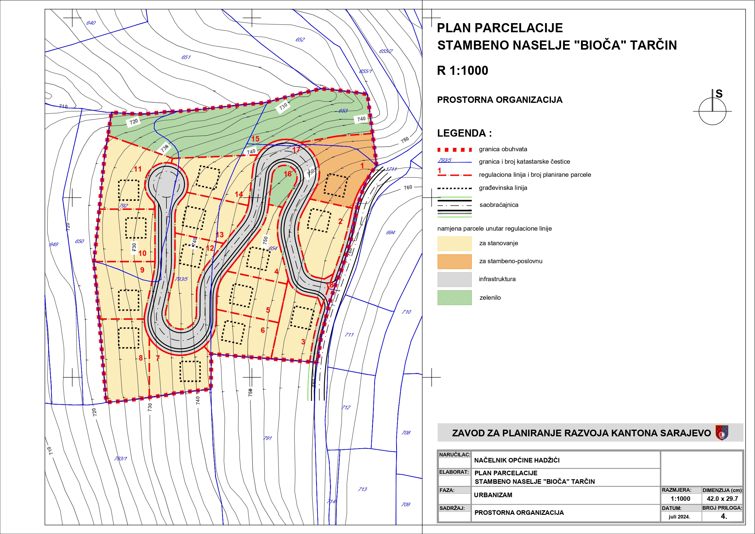
Graphic overview for Plot plan "Residential settlement Bioča - Tarčin"
Plot plan "Residential settlement Bioča - Tarčin" The detailed planning document, the subdivision plan for the "Residential Settlement Bioča - Tarčin" is based on the adopted land … Bosnia and Herzegovina June 1, 2025 Sarajevo Canton Development Planning Institute other Restrictions
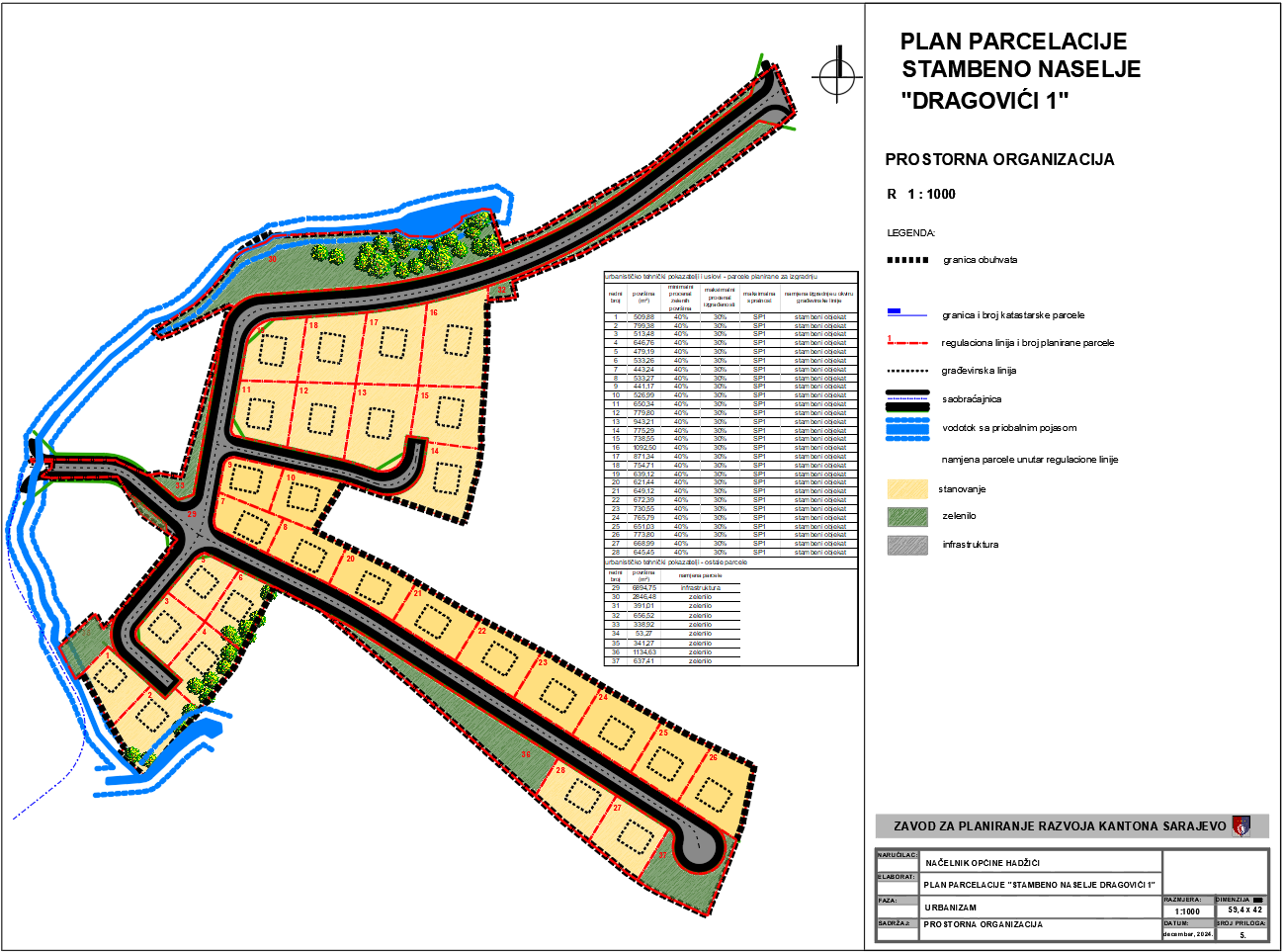
Graphic overview for Plot plan "Residential settlement Dragovići 1"
Plot plan "Residential settlement Dragovići 1" The detailed planning document, the subdivision plan "Residential settlement Dragovići 1", is based on the adopted land use policy, development … Bosnia and Herzegovina March 24, 2025 Sarajevo Canton Development Planning Institute other Restrictions
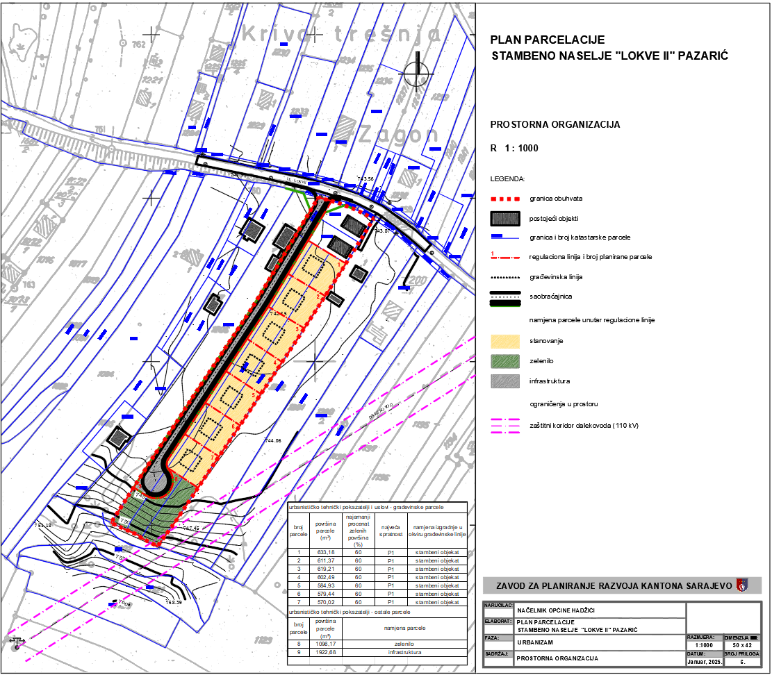
Graphic overview for Plot plan "Residential settlement Lokve II" - Pazarić
Plot plan "Residential settlement Lokve II" - Pazarić The detailed planning document, the subdivision plan "Residential Settlement Lokve II" - Pazarić, is based on the adopted land use … Bosnia and Herzegovina March 24, 2025 Sarajevo Canton Development Planning Institute other Restrictions
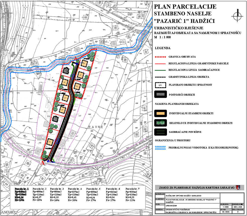
Graphic overview for Plot plan "Residential settlement Pazarić 1" - Hadžići
Plot plan "Residential settlement Pazarić 1" - Hadžići The detailed planning document, the subdivision plan for the "Residential Settlement Pazarić 1" - Hadžići, is based on the adopted … Bosnia and Herzegovina Feb. 16, 2023 Sarajevo Canton Development Planning Institute other Restrictions
Showing 10 of 277 records (filtered)
« first previous Page 4 of 28. next last »