Showing 15 of 45 records (filtered)
Applied filters: Topic Category: planningCadastre × Clear all filters
« first previous Page 4 of 4.
Preview
Title
Abstract
Country
INSPIRE Theme
Publication Date
Responsible Party
Topic Categories
Keywords
Access Constraints
Actions
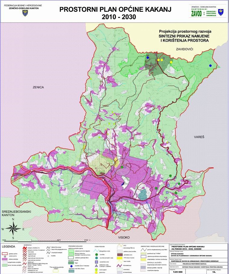
Graphic overview for Spatial plan of Kakanj municipality for the period 2010-2030.
Spatial plan of Kakanj municipality for the period 2010-2030. The Spatial Plan of the Municipality of Kakanj for a period of 20 years is a binding planning document that … Bosnia and Herzegovina Aug. 3, 2010 Institute for Urban Planning and Spatial Development of Zenica-Doboj Canton other Restrictions
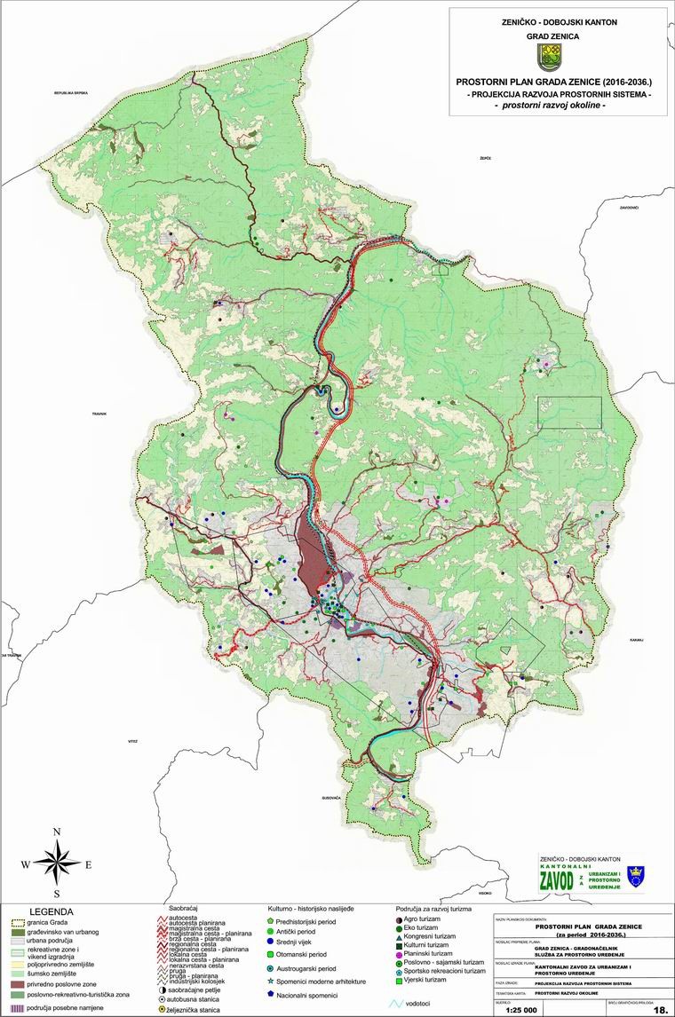
Graphic overview for Spatial plan of the city of Zenica 2016-2036.
Spatial plan of the city of Zenica 2016-2036. The Spatial Plan of the City of Zenica should prevent the irrational use of space for the purpose of achieving … Bosnia and Herzegovina Feb. 23, 2018 Institute for Urban Planning and Spatial Development of Zenica-Doboj Canton other Restrictions
Graphic overview for Spatial plan of the municipality of Usora for the period 2014-2034.
Spatial plan of the municipality of Usora for the period 2014-2034. The Spatial Plan of the Municipality of Usora is a binding development planning document that determines the purposeful organization, use … Bosnia and Herzegovina June 5, 2018 Institute for Urban Planning and Spatial Development of Zenica-Doboj Canton other Restrictions
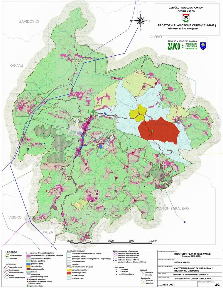
Graphic overview for Spatial plan of the municipality of Vareš 2018-2038.
Spatial plan of the municipality of Vareš 2018-2038. The development and adoption of the Spatial Plan of the Municipality of Vareš should prevent the irrational use of space … Bosnia and Herzegovina March 10, 2022 Institute for Urban Planning and Spatial Development of Zenica-Doboj Canton other Restrictions
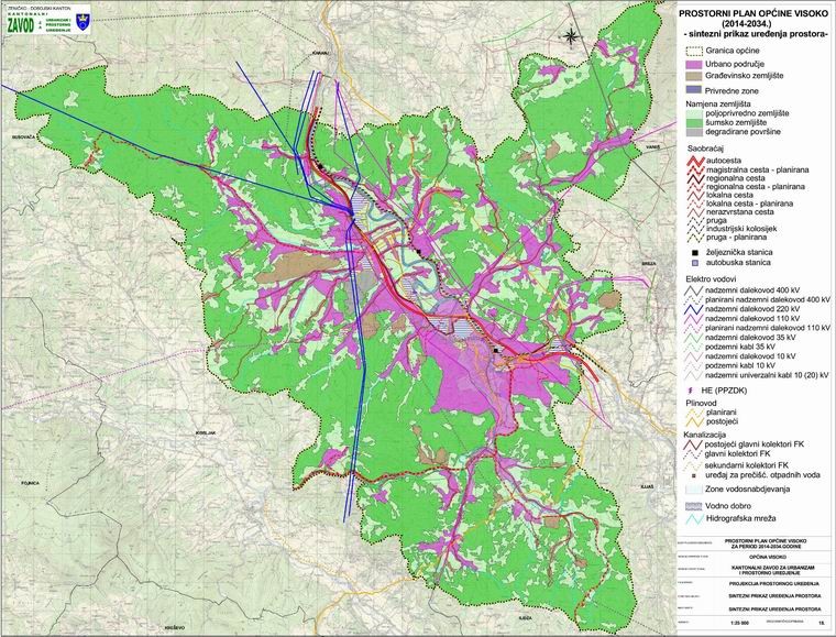
Graphic overview for Spatial plan of the municipality of Visoko 2014-2034.
Spatial plan of the municipality of Visoko 2014-2034. The Spatial Plan of the Municipality of Visoko for the period from 2014 to 2034 is a binding planning document … Bosnia and Herzegovina July 25, 2015 Institute for Urban Planning and Spatial Development of Zenica-Doboj Canton other Restrictions
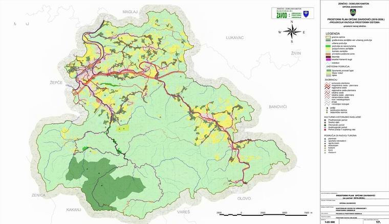
Graphic overview for Spatial plan of the municipality of Zavidovići 2016-2036.
Spatial plan of the municipality of Zavidovići 2016-2036. The development and adoption of the Spatial Plan of the Municipality of Zavidovići should prevent the irrational use of space … Bosnia and Herzegovina Feb. 7, 2018 Institute for Urban Planning and Spatial Development of Zenica-Doboj Canton other Restrictions
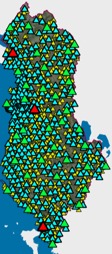
Graphic overview for State Gravimetric Network
State Gravimetric Network The State Gravimetric Network of the Republic of Albania is part of the National Geodetic Network and is composed of: … Albania May 7, 2024 State Authority for Geospatial Information copyright
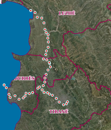
Graphic overview for State Leveling Network
State Leveling Network The State Leveling Network is one of the constituent networks of the National Geodetic Reference System. This network will enable … Albania Sept. 29, 2025 State Authority for Geospatial Information copyright
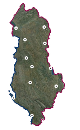
Graphic overview for State Magnetometric Network (Epoka 2017.5)
State Magnetometric Network (Epoka 2017.5) The National Magnetometric Network is a network of 11 repeatable magnetic stations, distributed as uniformly as possible in the national … Albania Oct. 13, 2020 State Authority for Geospatial Information copyright
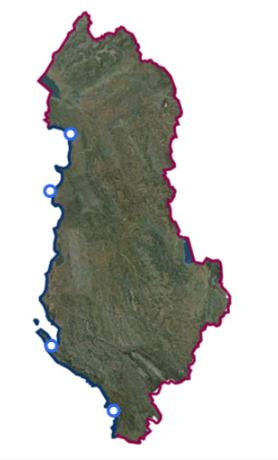
Graphic overview for State Tidal Network
State Tidal Network The State Tide Network consists of four sea level measuring stations along the coastline of the Republic of Albania, which … Albania Oct. 13, 2020 State Authority for Geospatial Information copyright
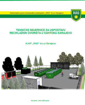
Graphic overview for Technical guidelines for the establishment of recycling yards in Sarajevo Canton
Technical guidelines for the establishment of recycling yards in Sarajevo Canton Recycling yards are a link between citizens, authorized collectors and authorized waste processors and/or the regional waste management center. Separately … Bosnia and Herzegovina March 1, 2024 KJKP "RAD" doo Sarajevo copyright
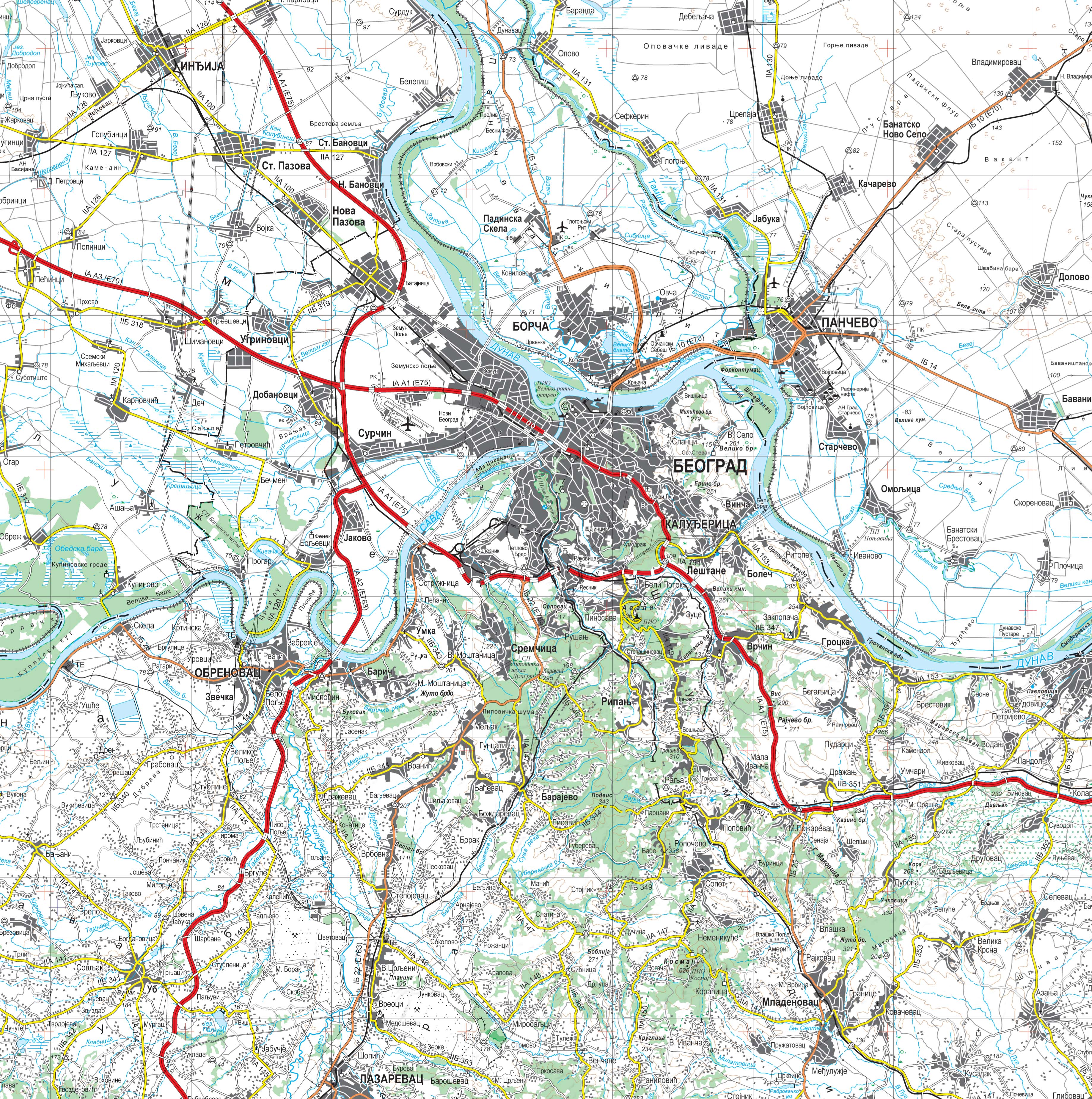
Graphic overview for Topographic map at a scale of 1 : 250 000
Topographic map at a scale of 1 : 250 000 Topographic map at a scale of 1 : 250 000 is a digital topographic map based on the cartographic database … Serbia Sept. 30, 2020 Republic Geodetic Authority otherRestrictions
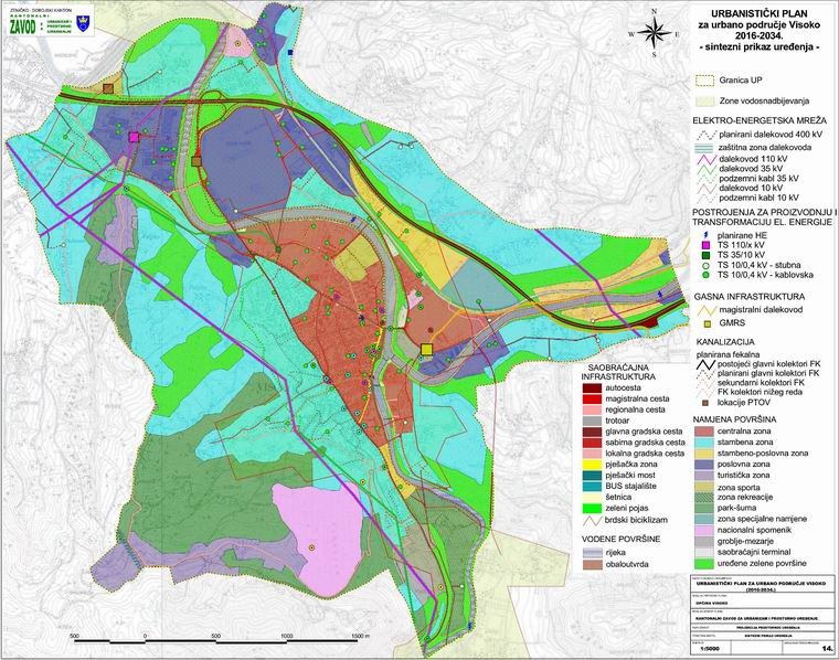
Graphic overview for Urban plan for the urban area of the municipal center of Visoko 2016-2034.
Urban plan for the urban area of the municipal center of Visoko 2016-2034. Urban Plan for the Urban Area of the Municipal Center of Visoko 2016-2034. The Urban Plan for the Urban Area … Bosnia and Herzegovina Feb. 6, 2017 Institute for Urban Planning and Spatial Development of Zenica-Doboj Canton other Restrictions
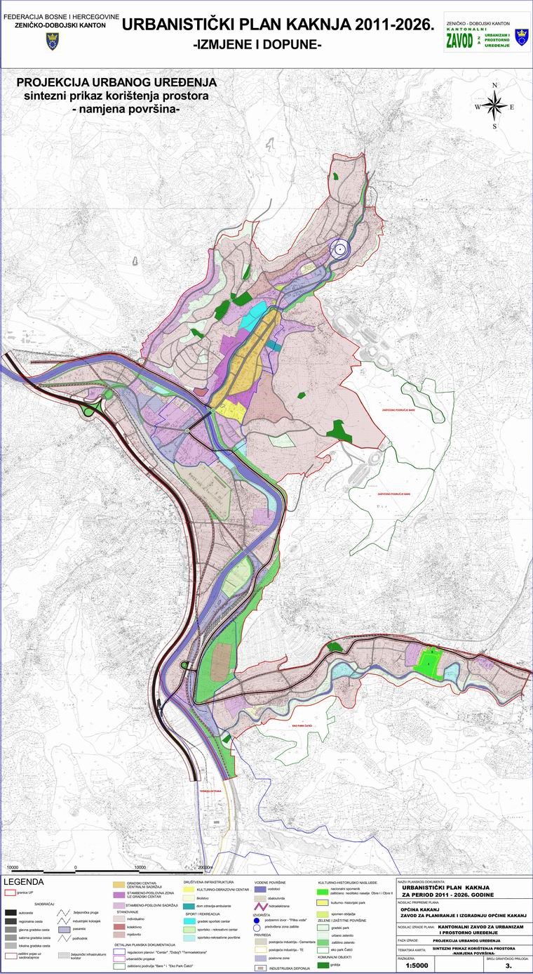
Graphic overview for Urban plan of Kakanj 2011-2026.
Urban plan of Kakanj 2011-2026. The urban plan is a binding planning document established by the Decision on the Implementation of the Spatial Plan of … Bosnia and Herzegovina Aug. 15, 2011 Institute for Urban Planning and Spatial Development of Zenica-Doboj Canton other Restrictions
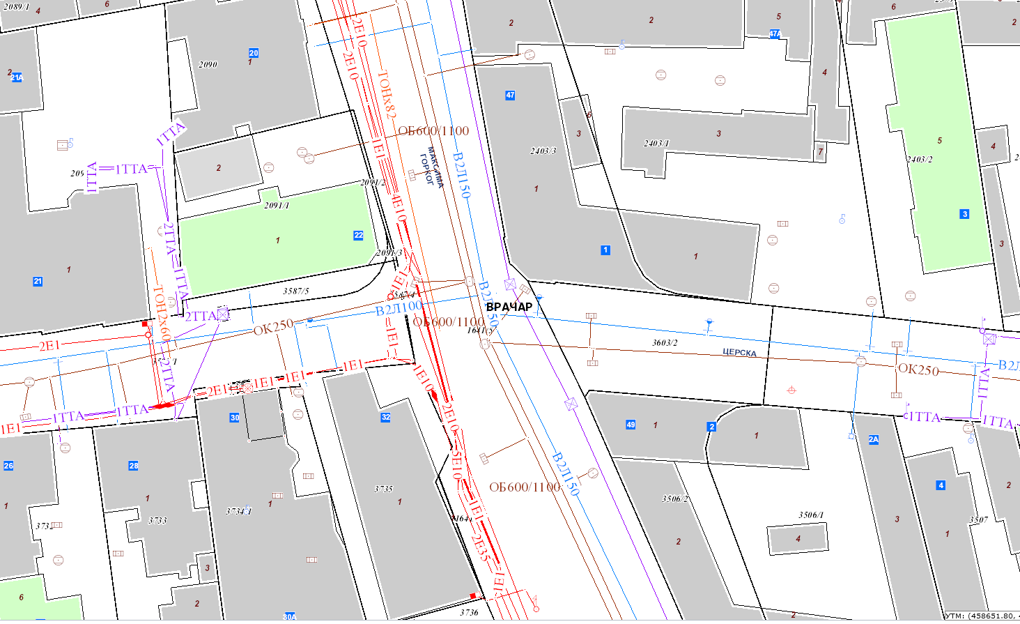
Graphic overview for Utility Cadastre
Utility Cadastre Utility Cadatstre database Serbia Feb. 1, 2021 Republic Geodetic Authority copyright
Showing 15 of 45 records (filtered)
« first previous Page 4 of 4.