Showing 10 of 55 records (filtered)
Applied filters: Topic Category: transportation × Clear all filters
« first previous Page 4 of 5. next last »
Preview
Title
Abstract
Country
INSPIRE Theme
Publication Date
Responsible Party
Topic Categories
Keywords
Access Constraints
Actions
🖼️
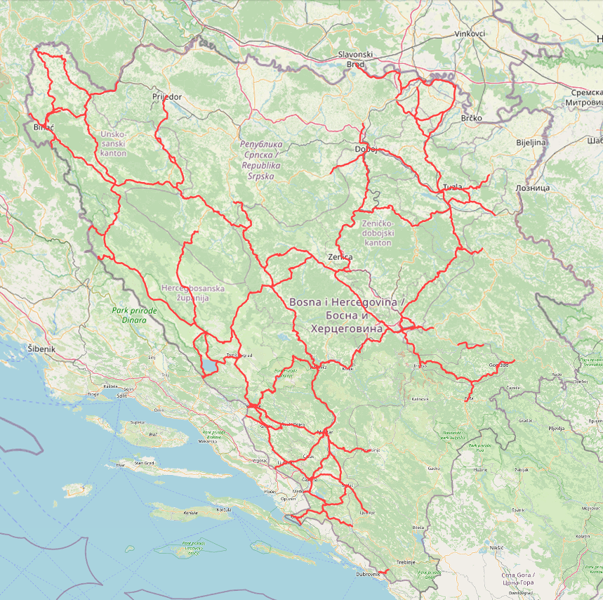
Corridor Vc - A1 Highway - Federation of Bosnia and Herzegovina The A1 highway, which stretches across the territory of the Federation of Bosnia and Herzegovina, represents the axis of the … Bosnia and Herzegovina None JP Autoceste Federation BiH doo Mostar - Headquarters in Mostar other Restrictions
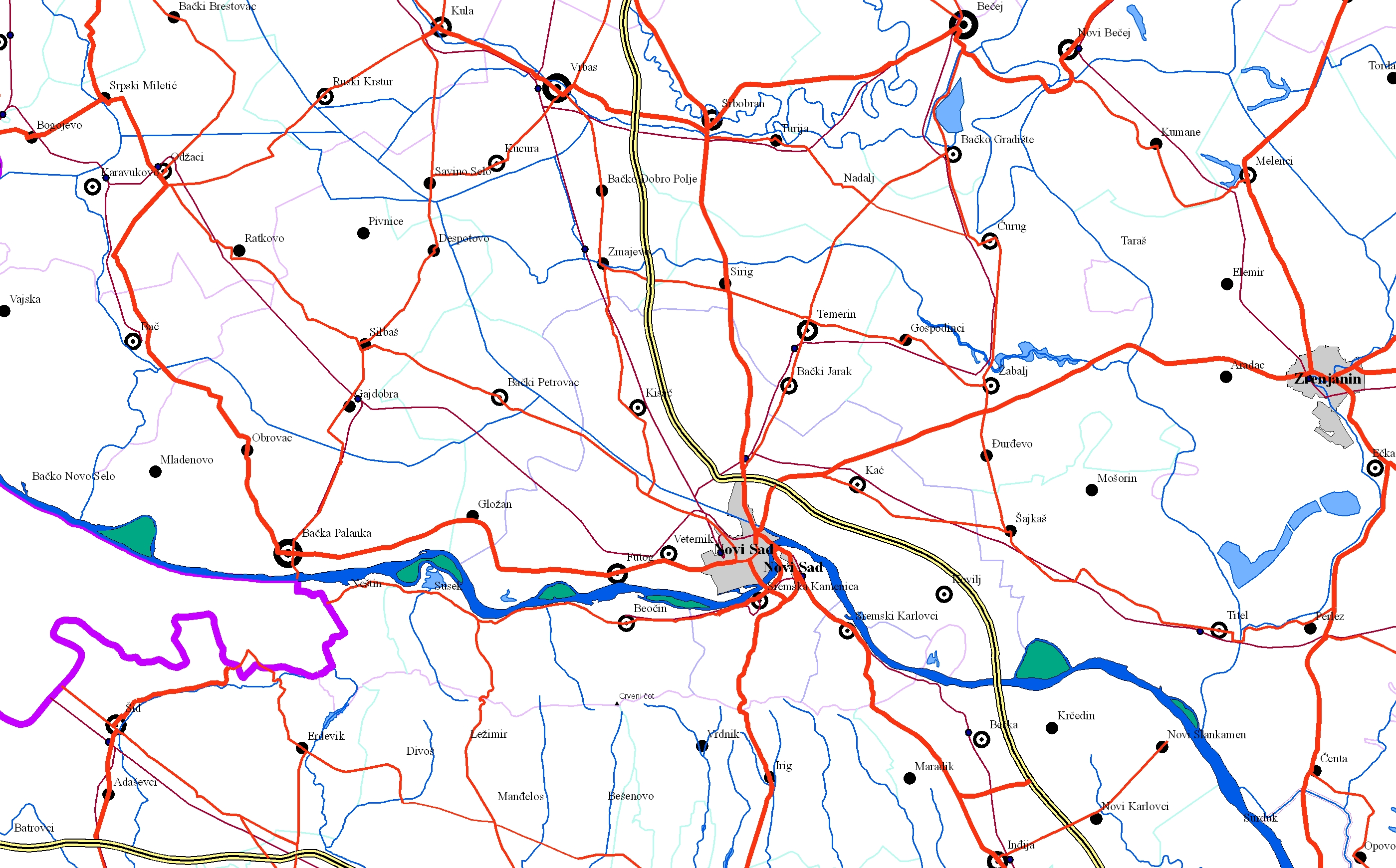
Graphic overview for EuroRegionalMap
EuroRegionalMap EuroRegionalMap (ERM) is a pan-European dataset containing topographic information at the scale 1:250 000 covering 51 European countries and territories … Serbia Oct. 30, 2017 Republic Geodetic Authority otherRestrictions
🖼️
Fast roads - Federation of Bosnia and Herzegovina The expressway that extends across the territory of the Federation of Bosnia and Herzegovina represents the axis of the motorway … Bosnia and Herzegovina None JP Autoceste Federation BiH doo Mostar - Headquarters in Mostar other Restrictions
Graphic overview for Geographical-tourist map of Serbia at a scale of 1 : 500 000
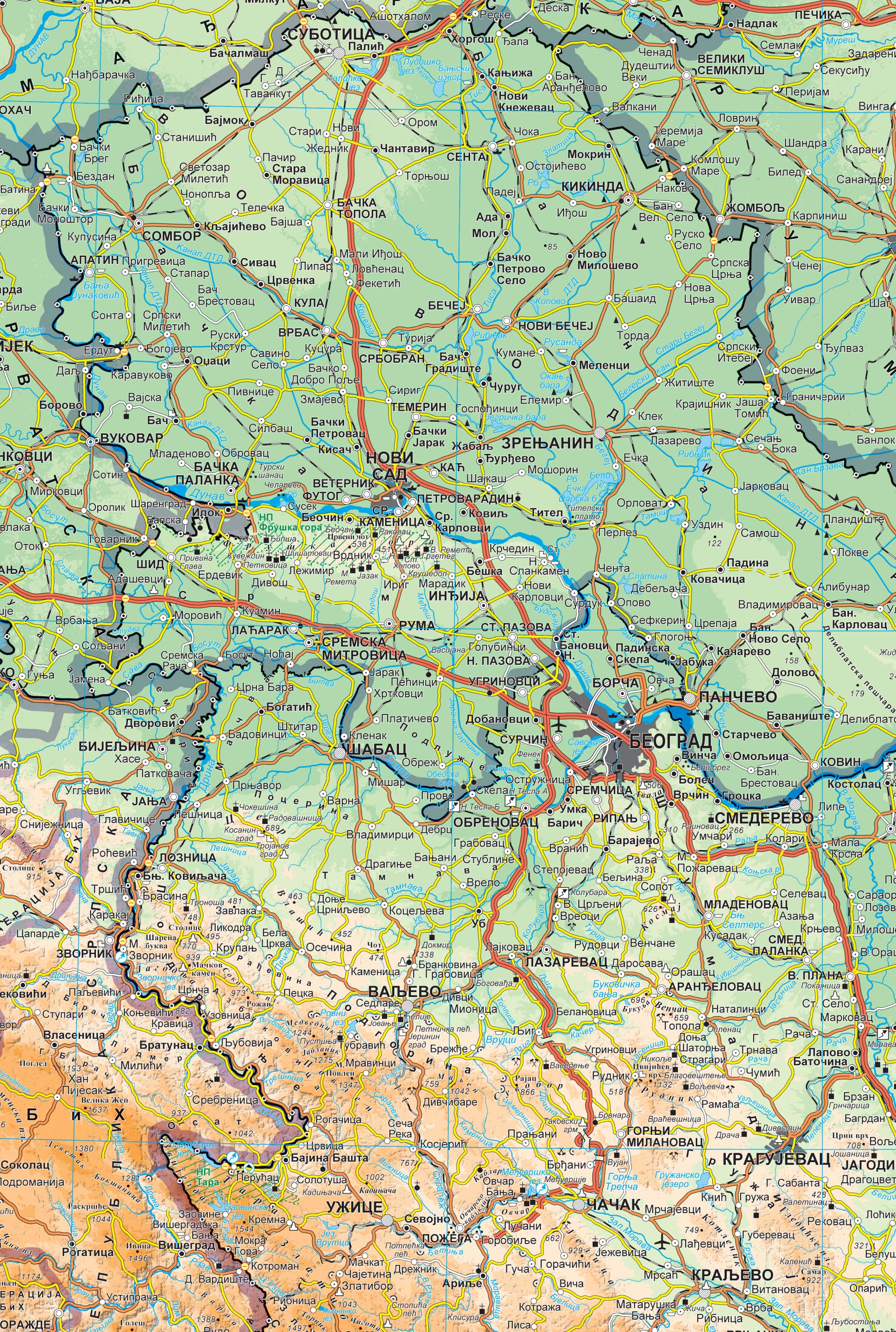
Geographical-tourist map of Serbia at a scale of 1 : 500 000 Geographic and tourist map of Serbia at a scale of 1 : 500 000 is a digital geographic map based … Serbia Sept. 24, 2020 Republic Geodetic Authority otherRestrictions
Graphic overview for Geographical-tourist map of Serbia at a scale of 1: 300 000
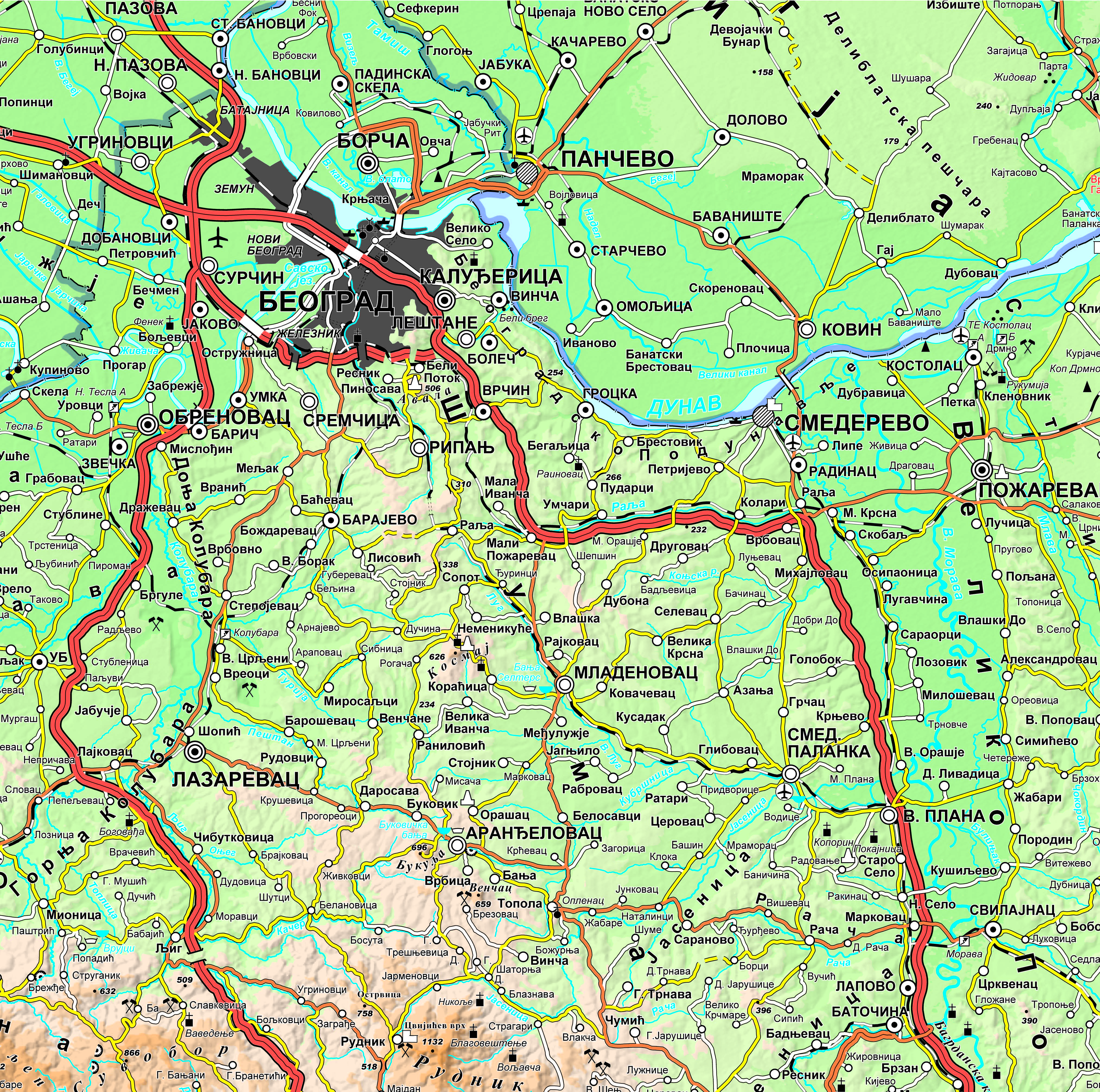
Geographical-tourist map of Serbia at a scale of 1: 300 000 Geographic and tourist map of Serbia at a scale of 1: 300 000 is a digital geographic map based on … Serbia Sept. 24, 2020 Republic Geodetic Authority otherRestrictions
Graphic overview for Geographical map of Serbia at a scale of 1 : 1 000 000
Geographical map of Serbia at a scale of 1 : 1 000 000 Geographical map of Serbia at a scale of 1 : 1 000 000 is a digital geographic map based on … Serbia Sept. 24, 2020 Republic Geodetic Authority otherRestrictions
Graphic overview for Main road network of the Federation of Bosnia and Herzegovina
Main road network of the Federation of Bosnia and Herzegovina JP Ceste Federacije BiH doo Sarajevo is responsible for the main road infrastructure in the territory of the Federation of … Bosnia and Herzegovina Jan. 1, 2024 PC Roads of the Federation of Bosnia and Herzegovina doo Sarajevo other Restrictions
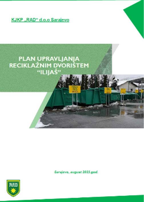
Graphic overview for Management plan of the "Ilijaš" recycling yard
Management plan of the "Ilijaš" recycling yard The recycling yard facilitates the disposal of waste types that do not fall into mixed household waste, such as recyclable … Bosnia and Herzegovina Dec. 1, 2023 KJKP "RAD" doo Sarajevo copyright
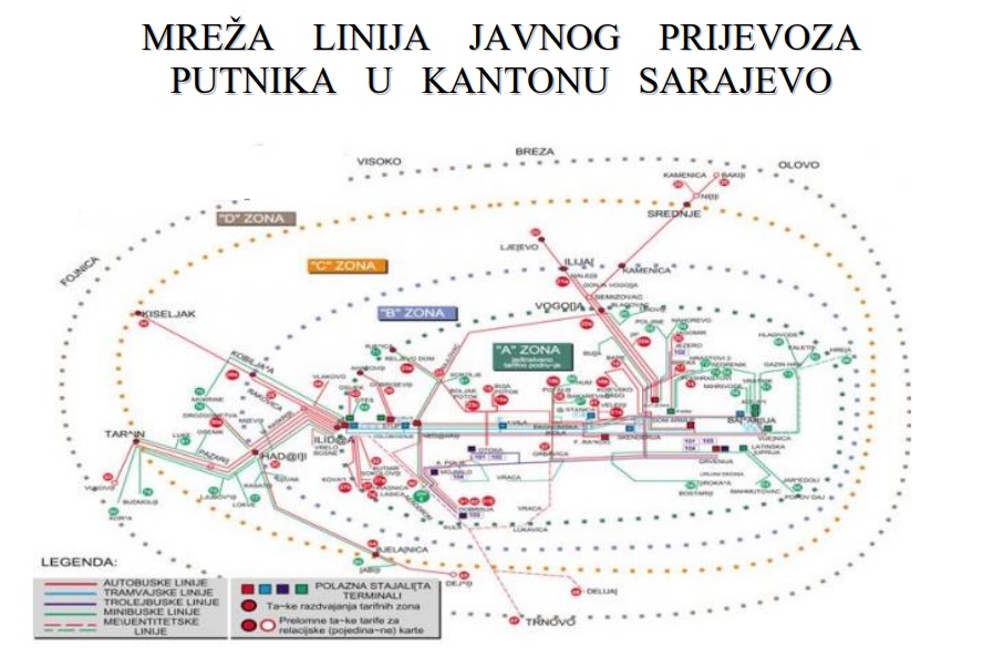
Graphic overview for Network of public passenger transport lines in Sarajevo Canton
Network of public passenger transport lines in Sarajevo Canton The public transport network is a set of all lines that in the territory of the Sarajevo Canton constitute subgroups … Bosnia and Herzegovina Jan. 1, 2014 Ministry of Transport of Sarajevo Canton other Restrictions
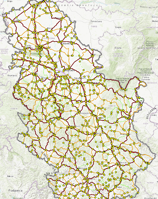
Graphic overview for PE Roads of Serbia - reference system of the state road network
PE Roads of Serbia - reference system of the state road network Spatial and descriptive data on the current reference system of state roads (RSDP) contain 3 classes of data: 1. Primary … Serbia Oct. 8, 2022 PE Roads of Serbia copyright
Showing 10 of 55 records (filtered)
« first previous Page 4 of 5. next last »