Showing 10 of 1172 records
« first previous Page 41 of 117. next last »
Preview
Title
Abstract
Country
INSPIRE Theme
Publication Date
Responsible Party
Topic Categories
Keywords
Access Constraints
Actions
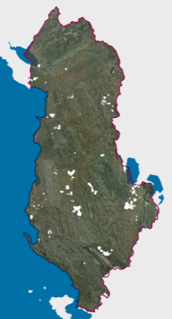
Graphic overview for DCM No. 45, dated 29.01.2014, on agricultural land plots
DCM No. 45, dated 29.01.2014, on agricultural land plots This data set represents the agricultural land plots that, by decisions of the Council of Ministers no. 45, dated 29.01.2014, … Albania Jan. 1, 2018 Ministry of Agriculture and Rural Development copyright
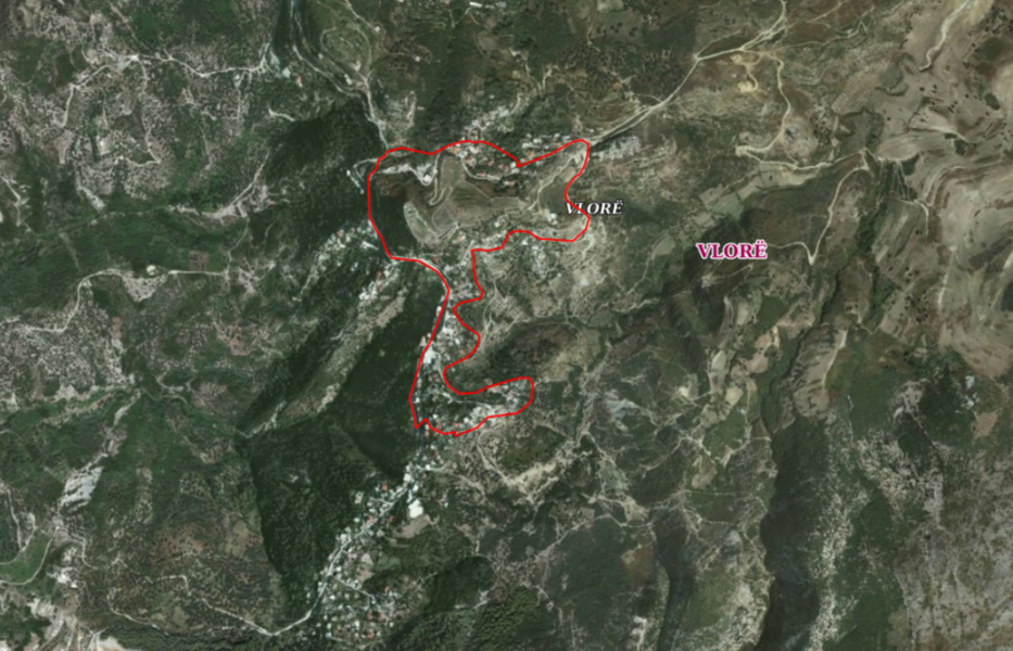
Graphic overview for DCM No. 729, dated 16.09.2020, Historical center of the village of Kaninë (zoning).
DCM No. 729, dated 16.09.2020, Historical center of the village of Kaninë (zoning). The coverage area of the "Historical Center" of the village of Kaninë defines the area approved by the Decision of … Albania Oct. 6, 2020 National Institute of Cultural Heritage copyright
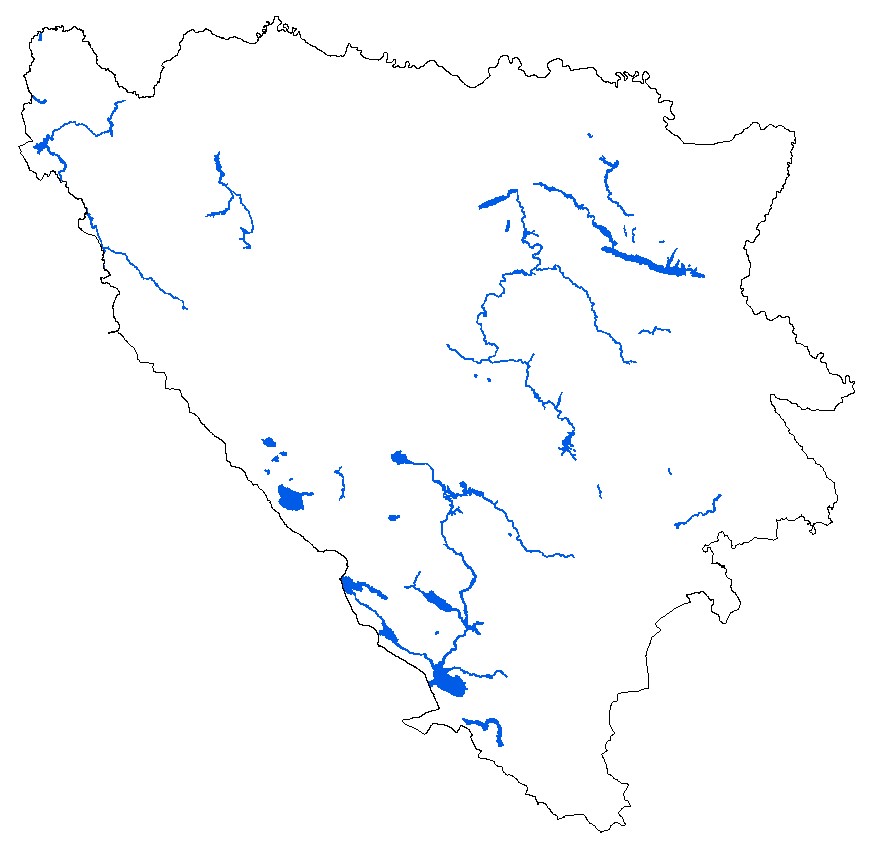
🖼️
Demographic statistics Data on the population of the Federation of BiH and its demographic characteristics include data on the number of inhabitants, … Bosnia and Herzegovina None Federal Statistical Office other Restrictions
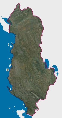
Graphic overview for Designated Aquaculture Areas
Designated Aquaculture Areas Areas designated for aquaculture according to the Council of Ministers' Decision No. 461, dated 26.07.2023, "On the approval of the … Albania Sept. 12, 2024 Ministry of Agriculture and Rural Development copyright
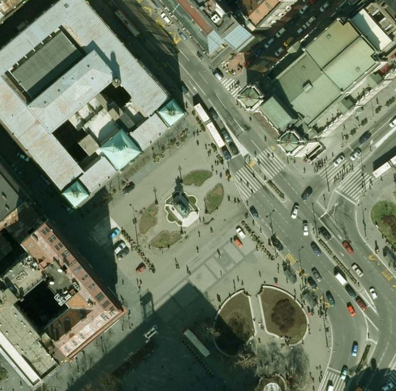
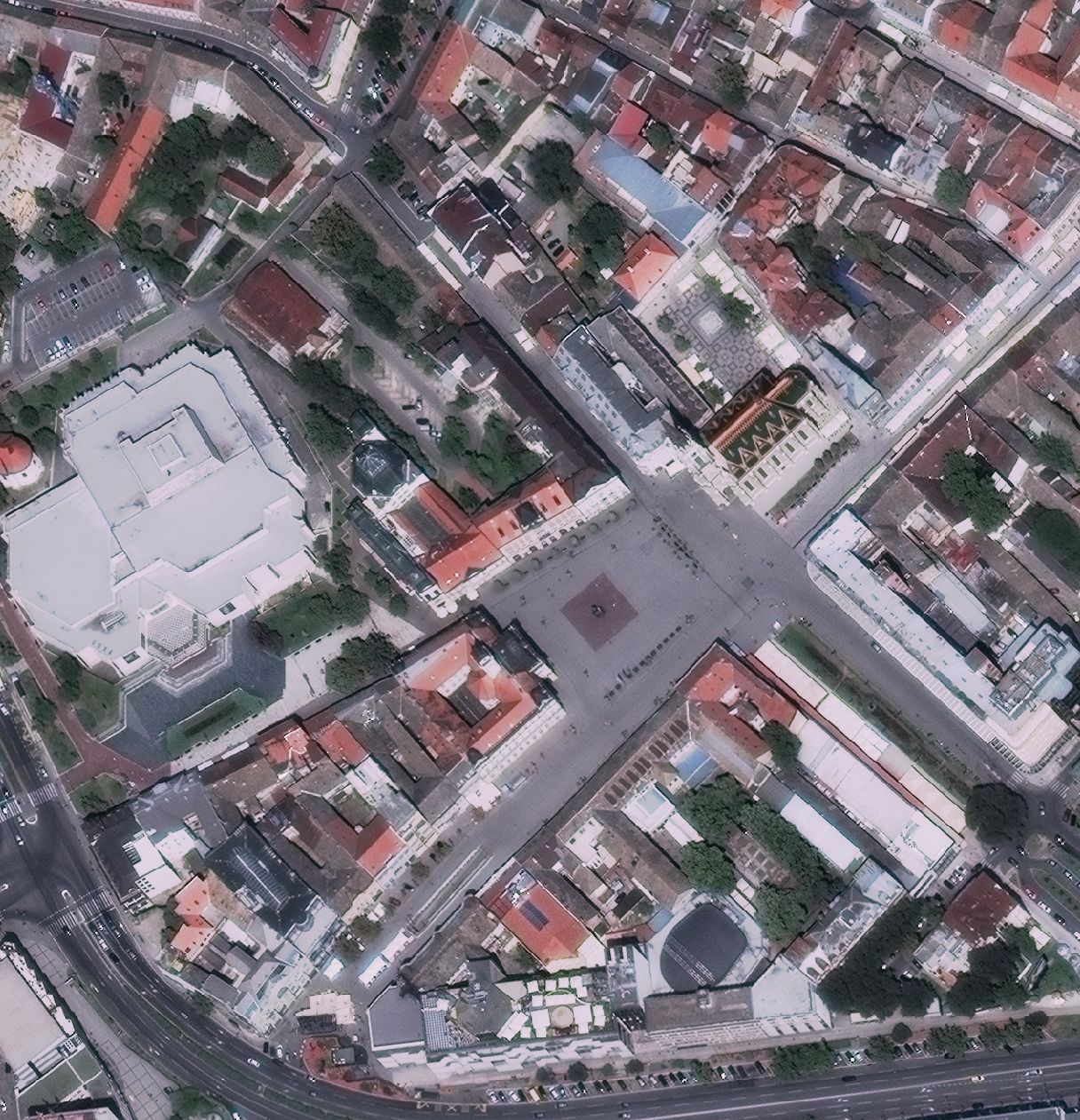
Graphic overview for Digital orthophoto
Digital orthophoto Digital orthophoto (DOF) is a georeferenced digital image of a part of the earth's surface of certain dimensions that has … Serbia Jan. 1, 1970 Republic Geodetic Authority otherRestrictions
Graphic overview for Digital orthophoto 2018 (LiDAR project)
Digital orthophoto 2018 (LiDAR project) Within the project "Development of flood hazard and risk maps" in Bosnia and Herzegovina, one of the planned activities was … Bosnia and Herzegovina None Federal Administration for Geodetic and Property Legal Affairs other Restrictions
Graphic overview for Digital orthophoto of resolution 1.5 m (2014-2015)
Digital orthophoto of resolution 1.5 m (2014-2015) Digital orthophoto (DOP) is a georeferenced digital image of a part of the earth's surface of certain dimensions that has … Serbia Jan. 1, 1970 Republic Geodetic Authority otherRestrictions
Graphic overview for Digital orthophoto of resolution 2.5 m (2005-2007)
Digital orthophoto of resolution 2.5 m (2005-2007) Digital orthophoto (DOP) is georeferenced digital image of a part of the earth's surface of certain dimensions that has the … Serbia Jan. 1, 1970 Republic Geodetic Authority otherRestrictions
Graphic overview for Digital orthophoto of resolution 2.5 m (2011-2012)
Digital orthophoto of resolution 2.5 m (2011-2012) Digital orthophoto (DOP) is a georeferenced digital image of a part of the earth's surface of certain dimensions that has … Serbia Jan. 1, 1970 Republic Geodetic Authority otherRestrictions
Graphic overview for Digital orthophoto of resolution 30 cm (2015-2016)
Digital orthophoto of resolution 30 cm (2015-2016) Digital orthophoto (DOP) is a georeferenced digital image of a part of the earth's surface of certain dimensions that has … Serbia Jan. 1, 1970 Republic Geodetic Authority otherRestrictions
Showing 10 of 1172 records
« first previous Page 41 of 117. next last »