Showing 10 of 1172 records
« first previous Page 44 of 117. next last »
Preview
Title
Abstract
Country
INSPIRE Theme
Publication Date
Responsible Party
Topic Categories
Keywords
Access Constraints
Actions
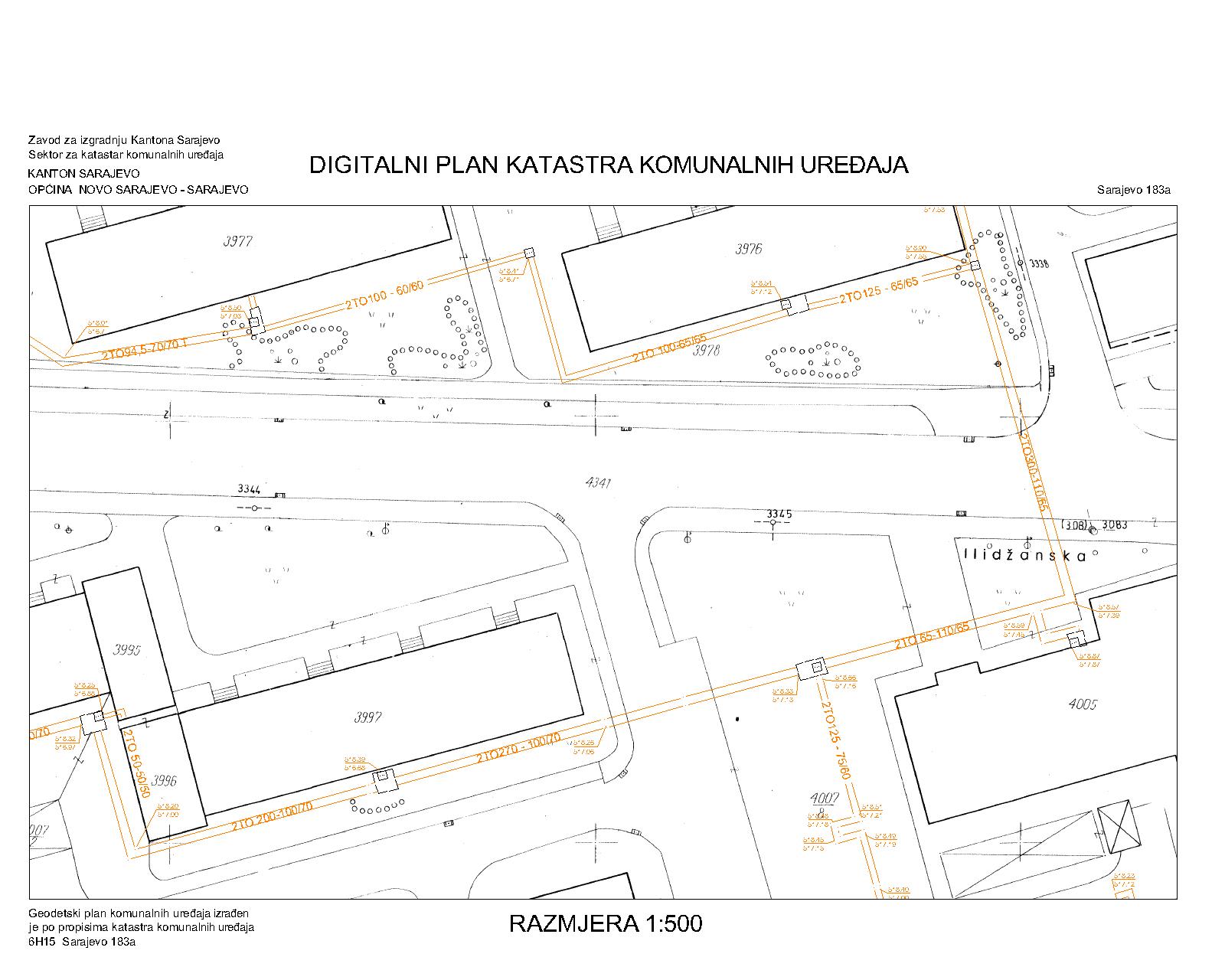
Graphic overview for District heating network
District heating network The utility cadastre is a special technical record in which data on all underground and above-ground utility installations are collected, … Bosnia and Herzegovina Jan. 1, 1982 Sarajevo Canton Construction Institute restricted
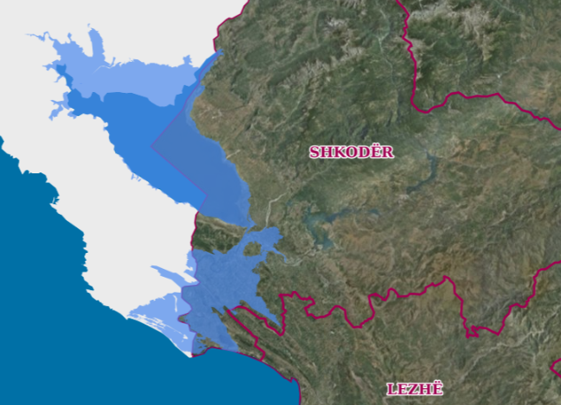
Graphic overview for Drin-Bune Basin, Flood Risk Areas
Drin-Bune Basin, Flood Risk Areas Map of flood risk areas in the Drin-Buna basin depending on the recurrence periods. The data are in accordance with … Albania Oct. 18, 2021 Water Resources Management Agency copyright
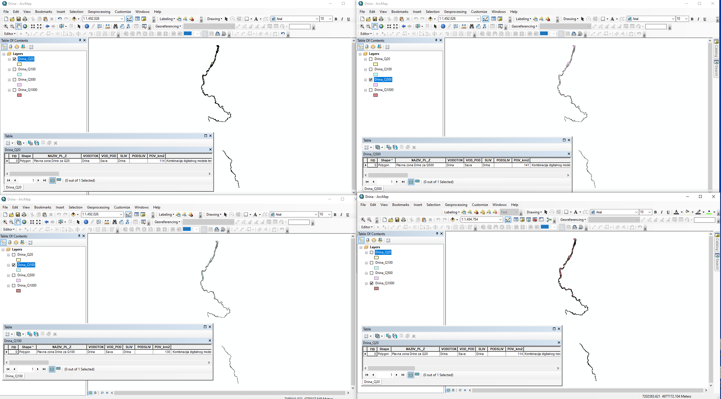
Graphic overview for Drina River Basin Management Project in the Western Balkans
Drina River Basin Management Project in the Western Balkans Western Balkans Drina River Basin Management Project (WBDRBMP) - Drina River Basin Water Resources Study (DRB) and hydrological and hydraulic … Serbia None PWMC Srbijavode copyright
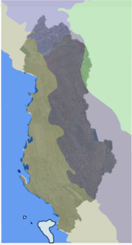
Graphic overview for Ecological Zones
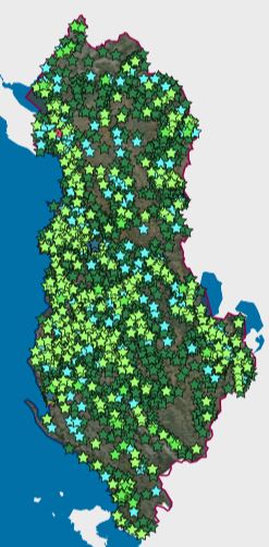
Ecological Zones The objective of the map of ecological regions in Europe is to show the extent of areas with relatively homogeneous … Albania May 5, 2022 National Agency for Protected Areas Not specified copyright
Graphic overview for Educational Institutions
Educational Institutions The data were officially received from the Ministry of Education and Sports, with letter no. 9259/1 prot., dated 23.12.2014 and … Albania Jan. 1, 2015 Ministry of Education and Sports Not specified copyright
Graphic overview for Efficiency of WWTP - wastewater treatment plants
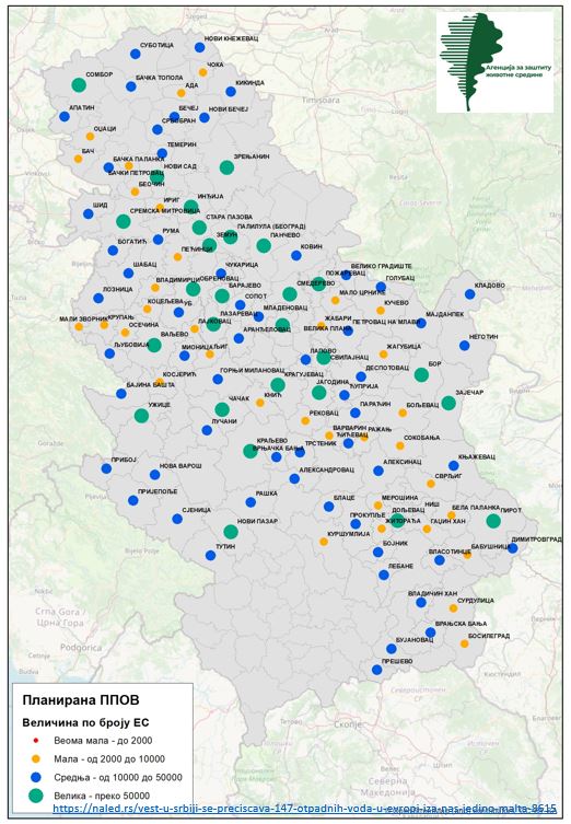
Efficiency of WWTP - wastewater treatment plants The data are collected from reports submitted by Public Utility Companies to the Environmental Protection Agency. Public Utility Companies that … Serbia None Environmental Protection Agency copyright
🖼️
Elevation Grid Coverage - INSPIRE ATOM service Service provides INSPIRE compliant downloadable elevation grid coverage data from the Digital terrain model of 30m grid dataset. Serbia Nov. 1, 2020 Republic Geodetic Authority otherRestrictions
🖼️
Elevation Grid Coverage - INSPIRE WMS service Service provides INSPIRE compliant viewable elevation grid coverage data from the Digital terrain model of 30m grid dataset. Serbia Nov. 1, 2020 Republic Geodetic Authority otherRestrictions
Graphic overview for EMS AD Overhead Lines
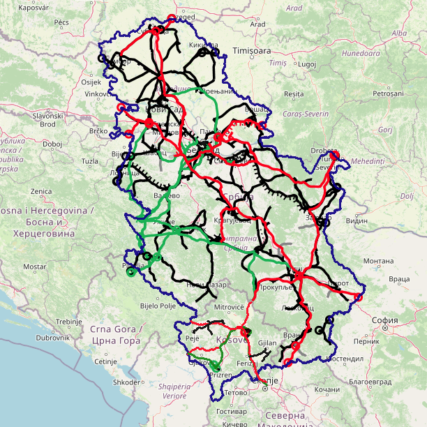
EMS AD Overhead Lines EMS AD Overhead Lines Serbia Oct. 1, 2023 Joint stock company “Elektromreza Srbije“ copyright
Graphic overview for Engineering-geological map of Bosnia and Herzegovina
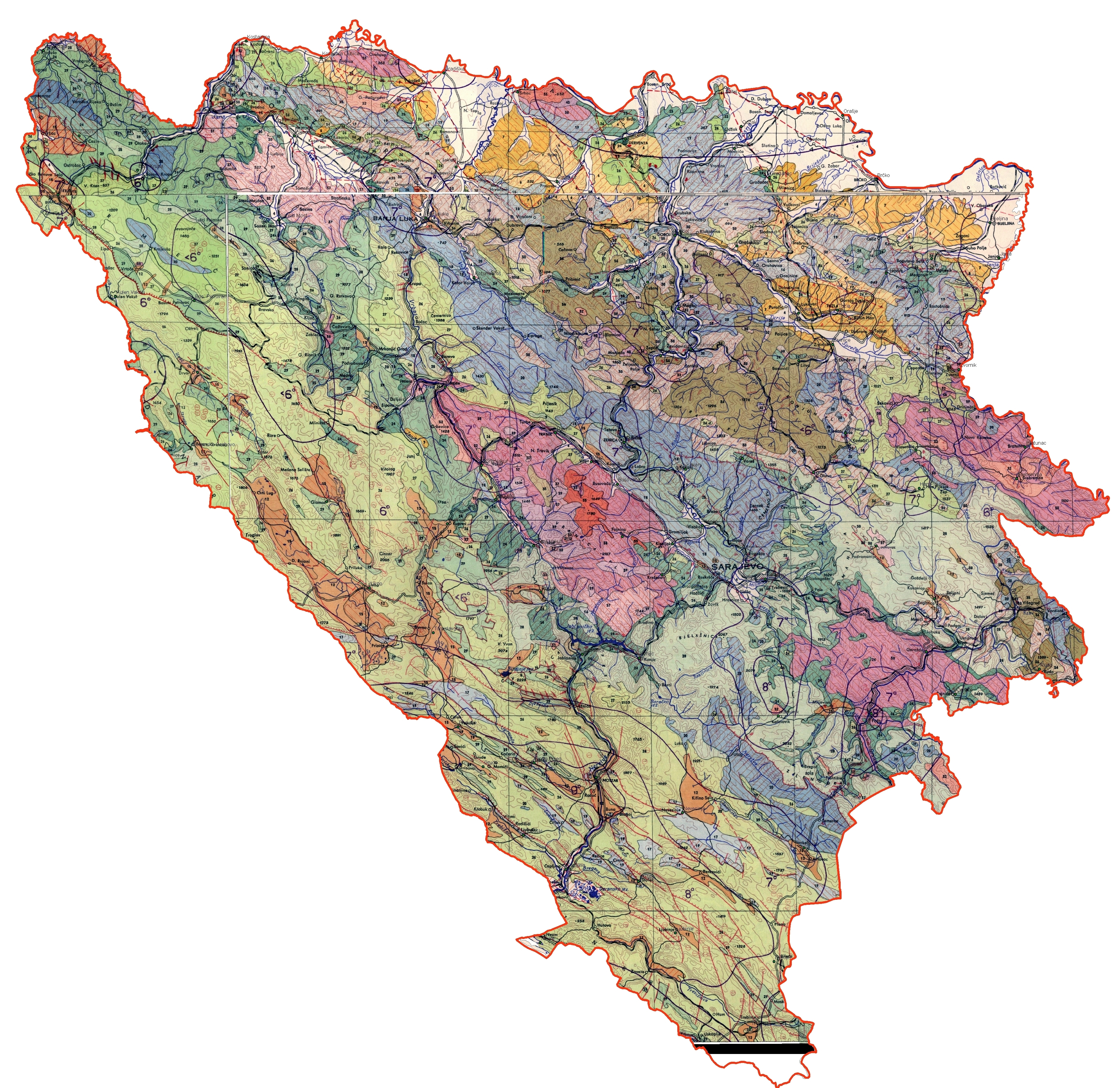
Engineering-geological map of Bosnia and Herzegovina The engineering geological map of FBiH is characterized by a distinct diversity of lithostratigraphic composition (rocks and rock complexes are … Bosnia and Herzegovina None Federal Institute of Geology other Restrictions
Showing 10 of 1172 records
« first previous Page 44 of 117. next last »