Showing 10 of 77 records (filtered)
Applied filters: Topic Category: boundaries × Clear all filters
« first previous Page 6 of 8. next last »
Preview
Title
Abstract
Country
INSPIRE Theme
Publication Date
Responsible Party
Topic Categories
Keywords
Access Constraints
Actions
Graphic overview for Urban planning project "Milkos"
Urban planning project "Milkos" The detailed planning document of the urban development project "Milkos" is based on the adopted land use policy, development strategies … Bosnia and Herzegovina Dec. 30, 2019 Sarajevo Canton Development Planning Institute otherRestrictions
Graphic overview for Urban planning project "Tron - Šip"
Urban planning project "Tron - Šip" The detailed planning document of the urban development project "Tron - Šip" is based on the adopted land use policy, … Bosnia and Herzegovina July 22, 2010 Sarajevo Canton Development Planning Institute otherRestrictions
Graphic overview for Urban project of the Karaotok tourist zone
Urban project of the Karaotok tourist zone The scope of the urban project "Karaotok" is located in the use zone and is defined as a tourist zone … Bosnia and Herzegovina Aug. 2, 2022 Ministry of Construction and Spatial Planning of Herzegovina-Neretva Canton/County otherRestrictions
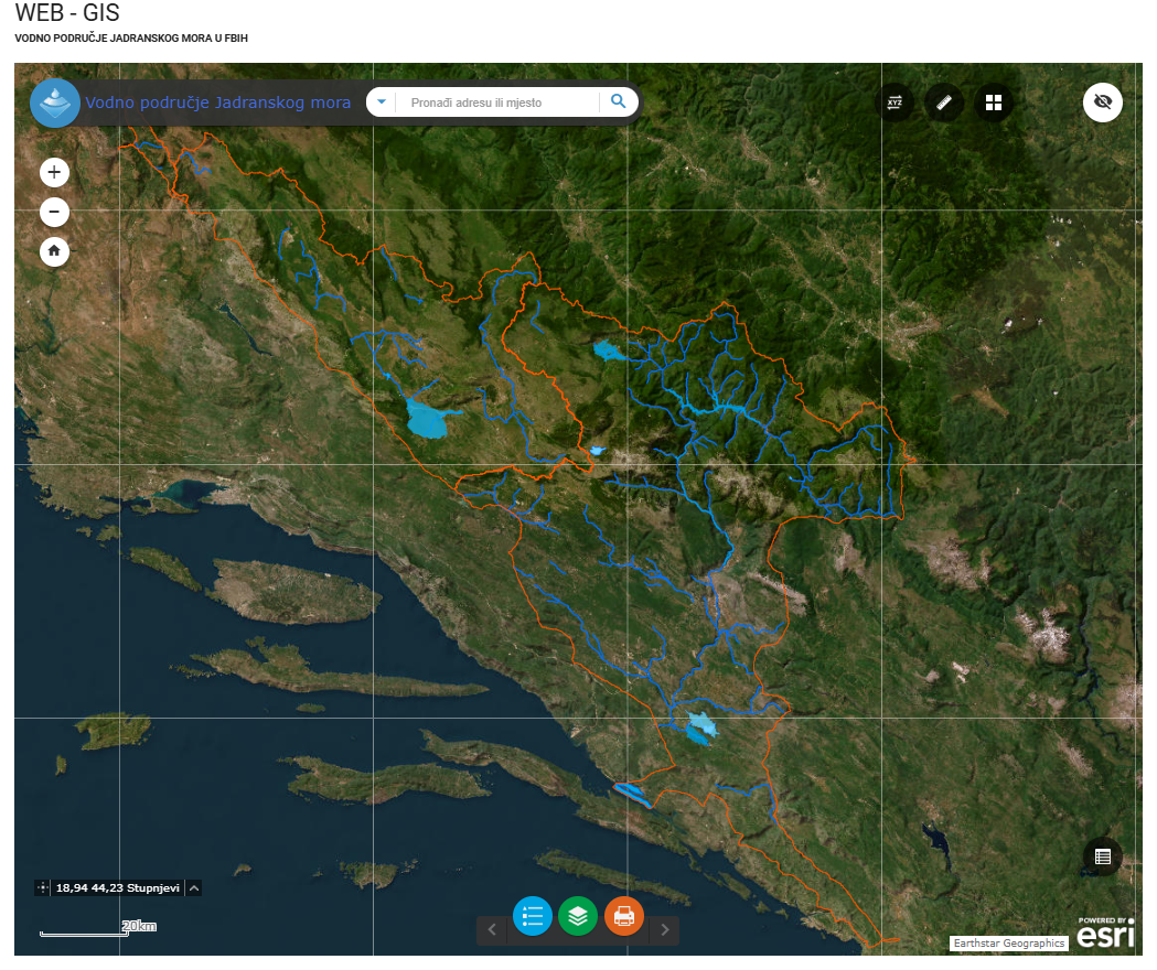
Graphic overview for Water area of the Adriatic Sea
Water area of the Adriatic Sea This dataset represents the Adriatic Sea water area in the Federation of Bosnia and Herzegovina. Bosnia and Herzegovina Jan. 1, 2008 Agency for the Adriatic Sea Water Area otherRestrictions
Graphic overview for Address register of the Federation of Bosnia and Herzegovina
Address register of the Federation of Bosnia and Herzegovina Address register data of the Federation of BiH, which is kept in the databases of local self-government units and replicated … Bosnia and Herzegovina Jan. 1, 2021 Federal Administration for Geodetic and Property Legal Affairs other Restrictions
Graphic overview for Administrative units
Administrative units The data set of administrative units according to the Register of Spatial Units contains boundaries, names and codes for the … Bosnia and Herzegovina None Federal Administration for Geodetic and Property Legal Affairs other Restrictions
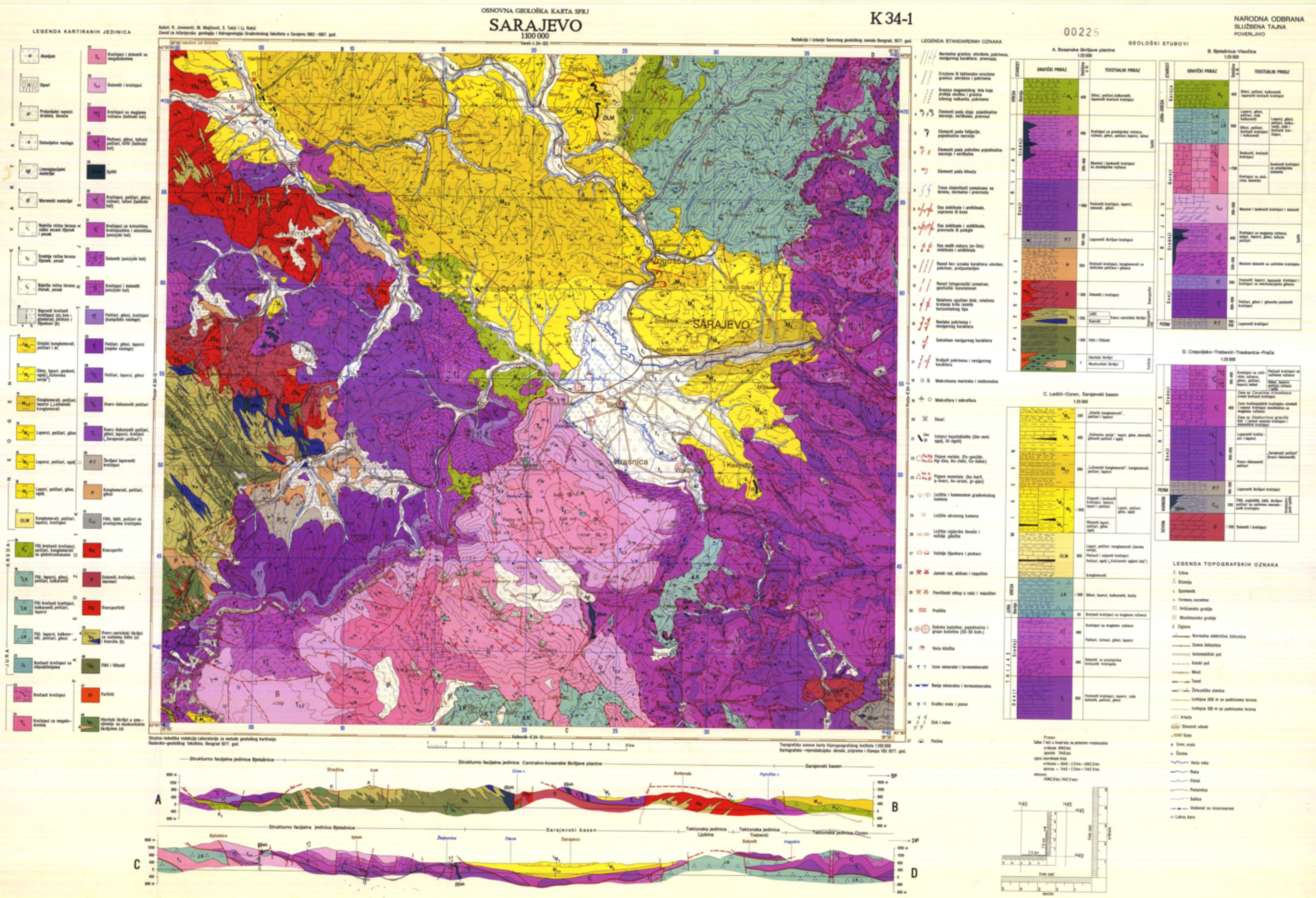
Graphic overview for Basic geological map of FBiH
Basic geological map of FBiH The basic geological map of the Federation of Bosnia and Herzegovina is a detailed map that shows the geological characteristics … Bosnia and Herzegovina None Federal Institute of Geology other Restrictions
Graphic overview for Cadastre of mineral resources for the FBiH area
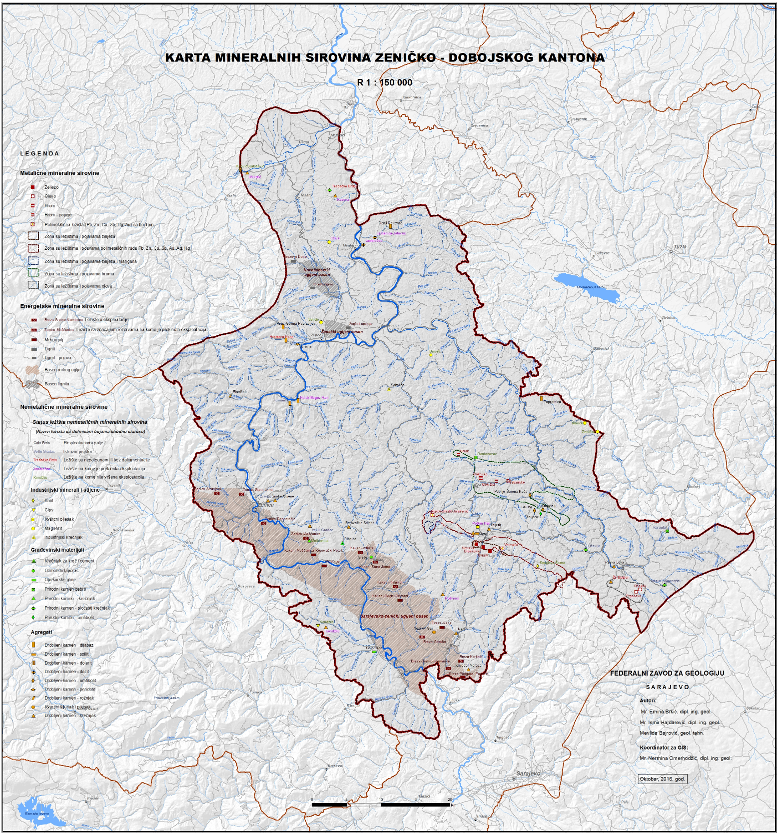
Cadastre of mineral resources for the FBiH area The cadastre of mineral resources of the Federation of Bosnia and Herzegovina consists of solid mineral resources whose reserves are … Bosnia and Herzegovina None Federal Institute of Geology other Restrictions
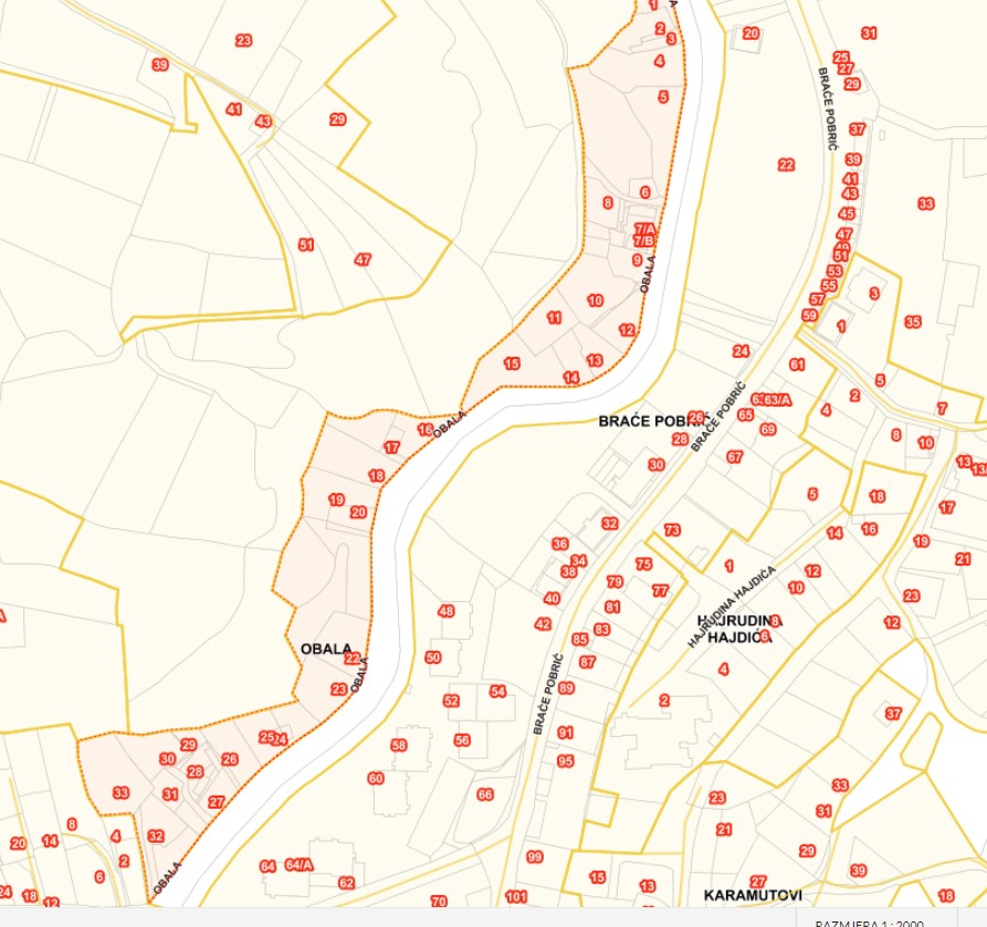
Graphic overview for Database of streets, squares and bridges
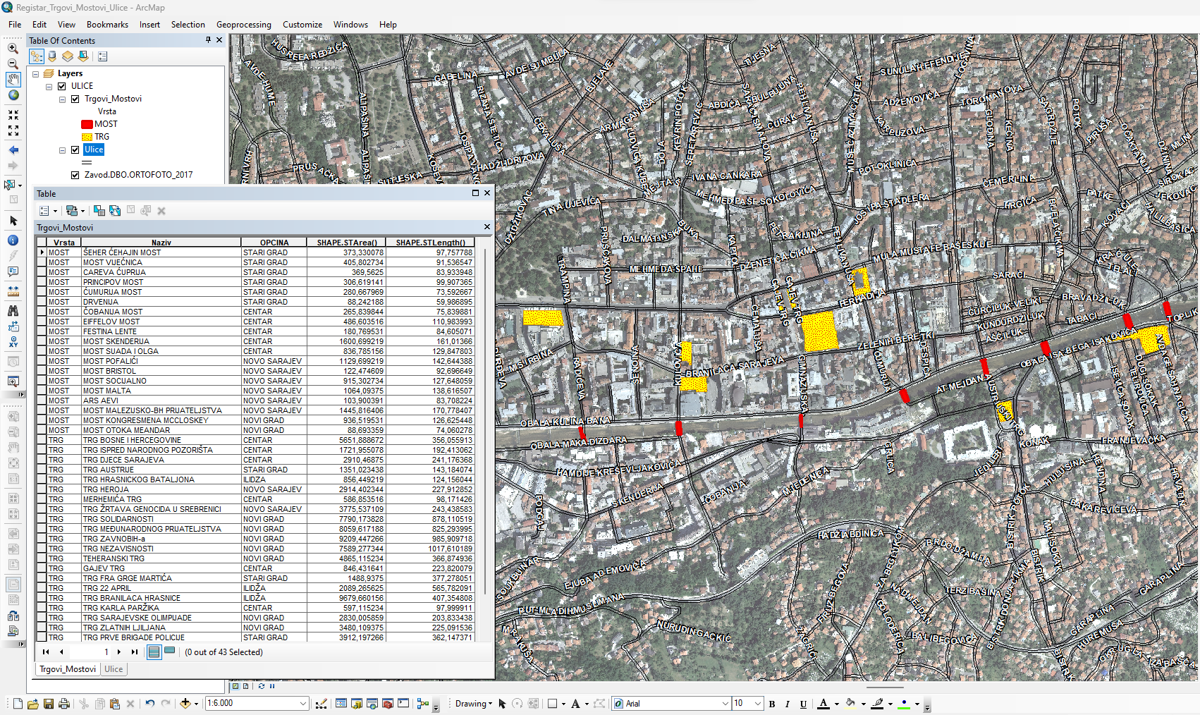
Database of streets, squares and bridges The Register of Streets, Squares and Bridges of the Sarajevo Canton contains the names of streets, squares and bridges classified … Bosnia and Herzegovina Jan. 1, 2015 Sarajevo Canton Development Planning Institute other Restrictions
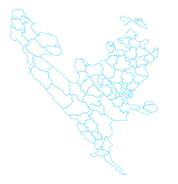
Graphic overview for Database of the boundaries of local communities of the Sarajevo Canton
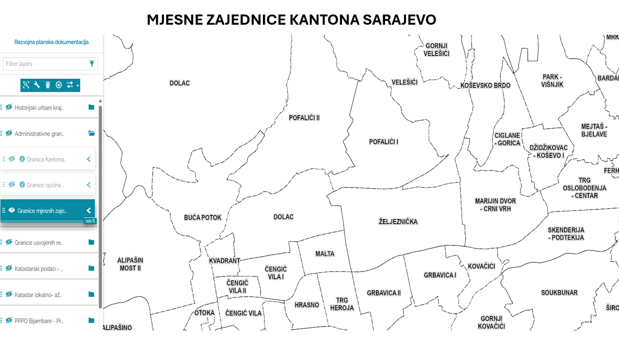
Database of the boundaries of local communities of the Sarajevo Canton Within the local self-government system in the Sarajevo Canton, the local community is a mandatory and closest form of organizing … Bosnia and Herzegovina Jan. 1, 2003 Sarajevo Canton Development Planning Institute other Restrictions
Showing 10 of 77 records (filtered)
« first previous Page 6 of 8. next last »