Showing 10 of 77 records (filtered)
Applied filters: Topic Category: boundaries × Clear all filters
« first previous Page 7 of 8. next last »
Preview
Title
Abstract
Country
INSPIRE Theme
Publication Date
Responsible Party
Topic Categories
Keywords
Access Constraints
Actions
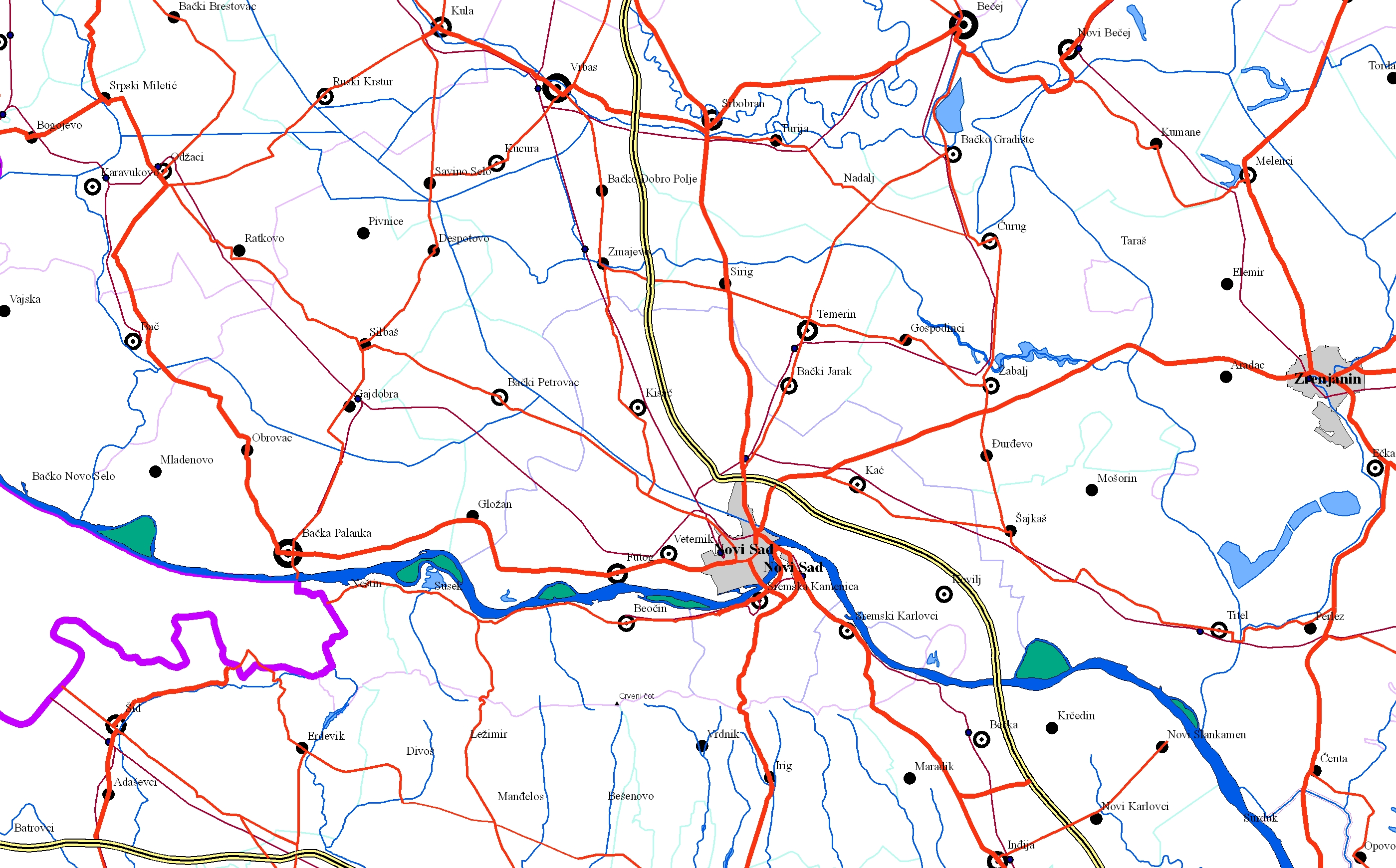
Graphic overview for EuroRegionalMap
EuroRegionalMap EuroRegionalMap (ERM) is a pan-European dataset containing topographic information at the scale 1:250 000 covering 51 European countries and territories … Serbia Oct. 30, 2017 Republic Geodetic Authority otherRestrictions
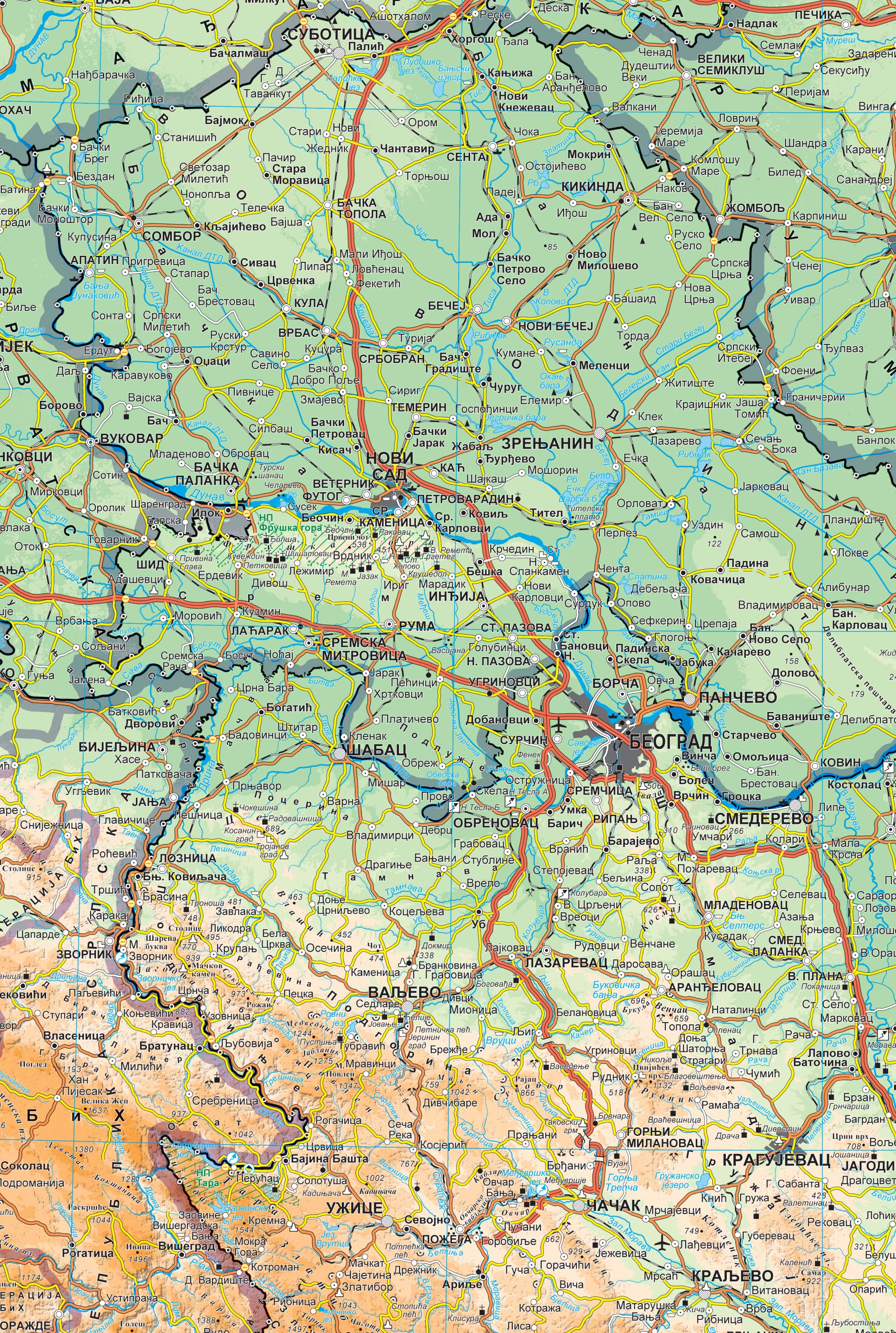
Graphic overview for Geographical-tourist map of Serbia at a scale of 1 : 500 000
Geographical-tourist map of Serbia at a scale of 1 : 500 000 Geographic and tourist map of Serbia at a scale of 1 : 500 000 is a digital geographic map based … Serbia Sept. 24, 2020 Republic Geodetic Authority otherRestrictions
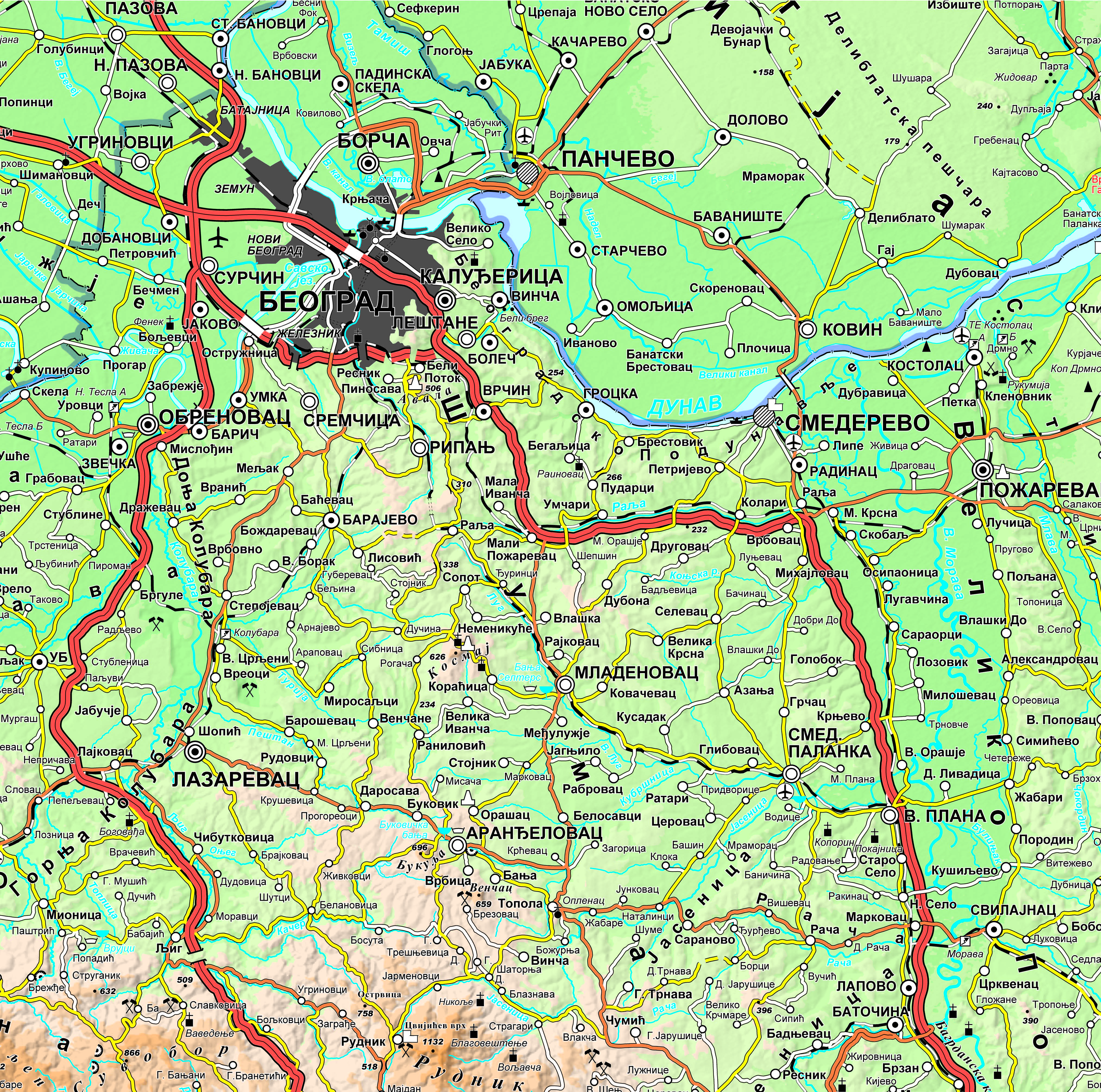
Graphic overview for Geographical-tourist map of Serbia at a scale of 1: 300 000
Geographical-tourist map of Serbia at a scale of 1: 300 000 Geographic and tourist map of Serbia at a scale of 1: 300 000 is a digital geographic map based on … Serbia Sept. 24, 2020 Republic Geodetic Authority otherRestrictions
Graphic overview for Geographical map of Serbia at a scale of 1 : 1 000 000
Geographical map of Serbia at a scale of 1 : 1 000 000 Geographical map of Serbia at a scale of 1 : 1 000 000 is a digital geographic map based on … Serbia Sept. 24, 2020 Republic Geodetic Authority otherRestrictions
Graphic overview for Order 1 (Land Border)
Order 1 (Land Border) State Land Border, State River Border, State Lake Border, Coastline of the Republic of Albania. The data are in accordance … Albania June 7, 2019 Agency for Local Self-Government Support copyright
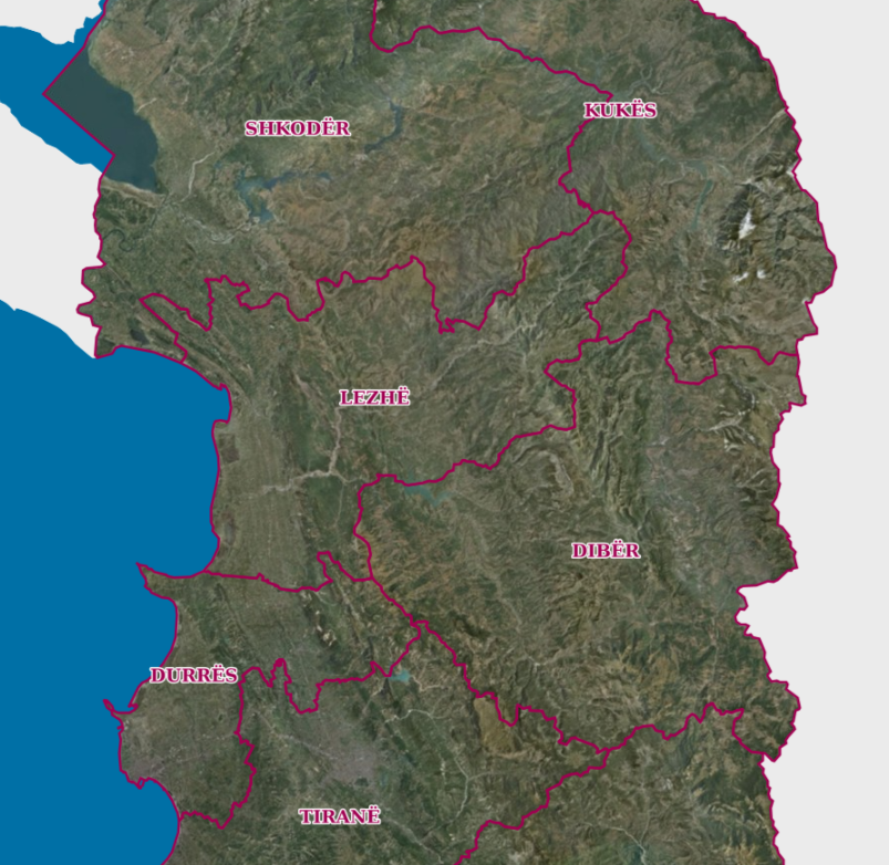
Graphic overview for Order 2 (County Border)
Order 2 (County Border) Administrative division at the county level obtained from the updated map of the administrative-territorial boundaries of local self-government units approved … Albania June 7, 2019 Agency for Local Self-Government Support copyright
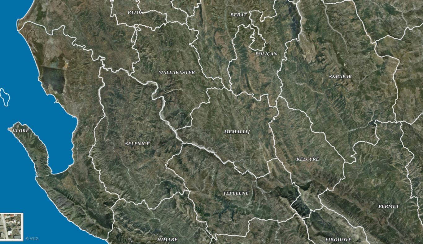
Graphic overview for Order 3 (Municipality Border)
Order 3 (Municipality Border) Administrative division at the level of local self-government units. The published information presents the updated map of the administrative-territorial boundaries … Albania Nov. 2, 2020 Agency for Local Self-Government Support copyright
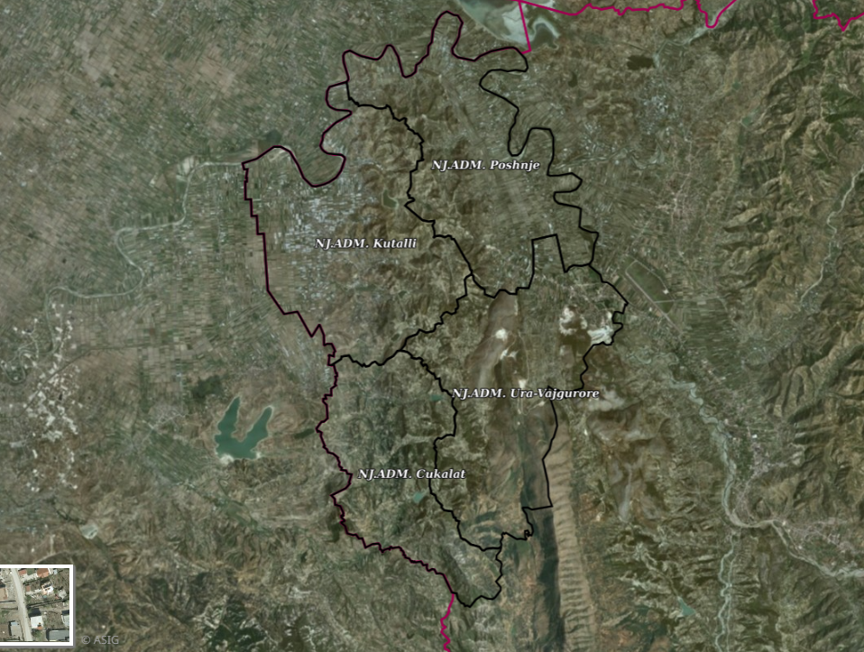
Graphic overview for Order 4 (Administrative unit boundary), Dimal Municipality
Order 4 (Administrative unit boundary), Dimal Municipality Order 4 (Administrative unit boundary), Dimal Municipality, is published based on the geospatial information made available by the local self-government … Albania Nov. 15, 2022 Agency for Local Self-Government Support Not specified copyright
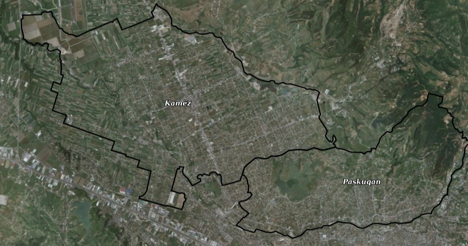
Graphic overview for Order 4 (Administrative unit boundary), Kamëz Municipality
Order 4 (Administrative unit boundary), Kamëz Municipality Order 4 (Administrative unit boundaries), Kamëz Municipality approved by Decision of the Municipal Council No. 13, dated 15.02.2021 "On the … Albania May 22, 2024 Agency for Local Self-Government Support Not specified copyright
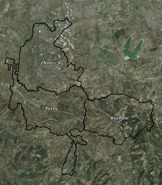
Graphic overview for Order 4 (Administrative unit boundary), Patos Municipality
Order 4 (Administrative unit boundary), Patos Municipality Order 4 (Administrative unit boundaries), Patos Municipality, approved by Decision of the Municipal Council No. 36, dated 30.10.2024 "On the … Albania Sept. 22, 2025 Agency for Local Self-Government Support Not specified copyright
Showing 10 of 77 records (filtered)
« first previous Page 7 of 8. next last »