Showing 10 of 1172 records
« first previous Page 9 of 117. next last »
Preview
Title
Abstract
Country
INSPIRE Theme
Publication Date
Responsible Party
Topic Categories
Keywords
Access Constraints
Actions
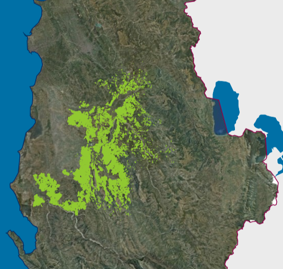
Graphic overview for Existing land use, Olive Cadastre.
Existing land use, Olive Cadastre. The Olive Cadastre is a system consisting of standardized geographic and textual data for the identification, registration and monitoring of … Albania Feb. 6, 2026 Agricultural Technology Transfer Center (ATTC) copyright
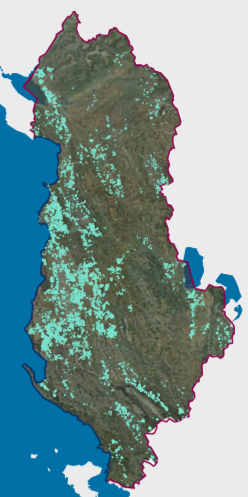
Graphic overview for Existing land use, Vineyard Cadastre
Existing land use, Vineyard Cadastre The Vineyard Cadastre is a system consisting of standardized geographic and textual data for the identification, registration and monitoring of … Albania Jan. 16, 2026 Agricultural Technology Transfer Center (ATTC) copyright
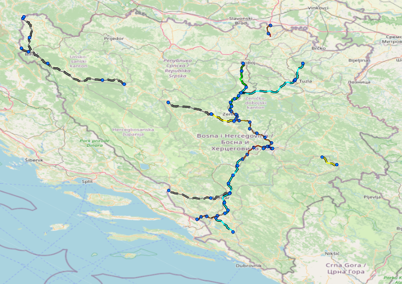
Graphic overview for Facilities under the jurisdiction of the Highway Federation of Bosnia and Herzegovina
Facilities under the jurisdiction of the Highway Federation of Bosnia and Herzegovina Tollbooths, rest areas, Grnični prešel, COKP, permanent facilities (bridge, tunnel, viaduct, ramp, overpass, underpass and culverts) and auxiliary facilities Bosnia and Herzegovina None JP Highways of the Federation of BiH doo Mostar otherRestrictions
Graphic overview for Fire index map, dataset metadata
Fire index map, dataset metadata The data was created by the Crisis Management Center based on meteorological data and forest inventory data from the PE … North Macedonia Jan. 1, 2012 Crisis Management Center otherRestrictions
Graphic overview for Flood areas along category II watercourses in the Bosnian-Podrinje Canton of Goražde
Flood areas along category II watercourses in the Bosnian-Podrinje Canton of Goražde The Cantonal Operational Plan for Flood Protection determines the implementation of active flood protection measures during times of imminent danger … Bosnia and Herzegovina May 30, 2013 Ministry of Economy of the Bosnian-Podrinje Canton Goražde otherRestrictions
Graphic overview for FNE Concession Contract Register
FNE Concession Contract Register / Bosnia and Herzegovina None Ministry of Economy of Herzegovina-Neretva County otherRestrictions
Graphic overview for Forest management basis for private forests of the Bosnian-Podrinje Canton Goražde
Forest management basis for private forests of the Bosnian-Podrinje Canton Goražde Data on private forests and forest land in the area of the Bosnian Podrinje Canton Goražde. Bosnia and Herzegovina None Cantonal Forestry Administration of the Bosnian-Podrinje Canton Goražde otherRestrictions
Graphic overview for Forestry basis for state forests of the Bosnian-Podrinje Canton Goražde
Forestry basis for state forests of the Bosnian-Podrinje Canton Goražde Data on state-owned forests and forest land in the territory of the Bosnian-Podrinje Canton Goražde. The validity date of the … Bosnia and Herzegovina None Cantonal Forestry Administration of the Bosnian-Podrinje Canton Goražde otherRestrictions
Graphic overview for General geographic map from the Military Geographical Institute Belgrade (VGI) at a scale of 1:1000000- Skopje K34, metadata for the dataset
General geographic map from the Military Geographical Institute Belgrade (VGI) at a scale of 1:1000000- Skopje K34, metadata for the dataset The general geographic map at a scale of 1:1000000 was produced by the VGI Belgrade and supplemented in 1972. The … North Macedonia Not specified None Agency for Real Estate Cadastre otherRestrictions
Graphic overview for Geographical Names of the Republic of North Macedonia TC (200-2004) - INSPIRE, dataset metadata
Geographical Names of the Republic of North Macedonia TC (200-2004) - INSPIRE, dataset metadata Geographical names from the topographic database TK 200 for the entire territory of the Republic of North Macedonia according to … North Macedonia March 12, 2024 Agency for Real Estate Cadastre otherRestrictions
Showing 10 of 1172 records
« first previous Page 9 of 117. next last »